

We’ve seen some sudden shifts from extreme drought to flood over the years in places like California and Texas.
Oct. 24, 2021 — four years ago today — was one of the most stunning such shifts. The strongest Eastern Pacific bomb cyclone dating to 1974 pumped an intense atmospheric river of moisture into drought-plagued California and Nevada.
Blue Canyon (10.44 inches), Santa Rosa (7.83 inches) and Sacramento (5.41 inches) each set their all-time wettest day in this storm. Sacramento’s one-day record had stood for 141 years.
![]()
Weather in your inbox
By signing up you agree to the Terms & Privacy Policy. Unsubscribe at any time.
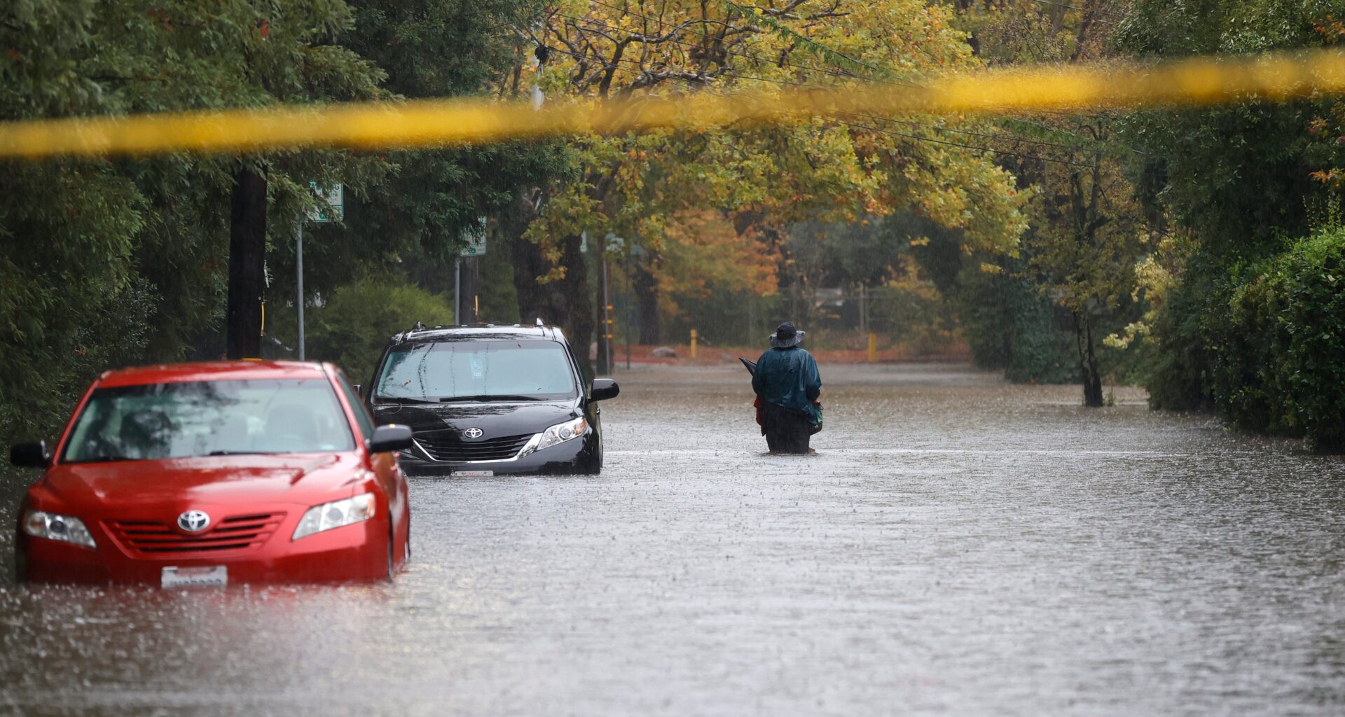
Flooding, debris flows and downed trees were reported in multiple locations in California, particularly in the Sierra, and also from San Rafael and Santa Rosa through the Bay Area to the Salinas Valley. There were 87 reports of flooding or debris flows relayed to National Weather Service offices.
The bomb cyclone’s winds were clocked at 159 mph at the summit of Mammoth Mountain, and winds up to 60 mph were clocked at San Francisco International Airport.
Using an index combining rainfall, sustained winds and peak gusts, Golden Gate Weather Services meteorologist Jan Null said this tied for the third-strongest storm to hit the Bay Area since 1950.
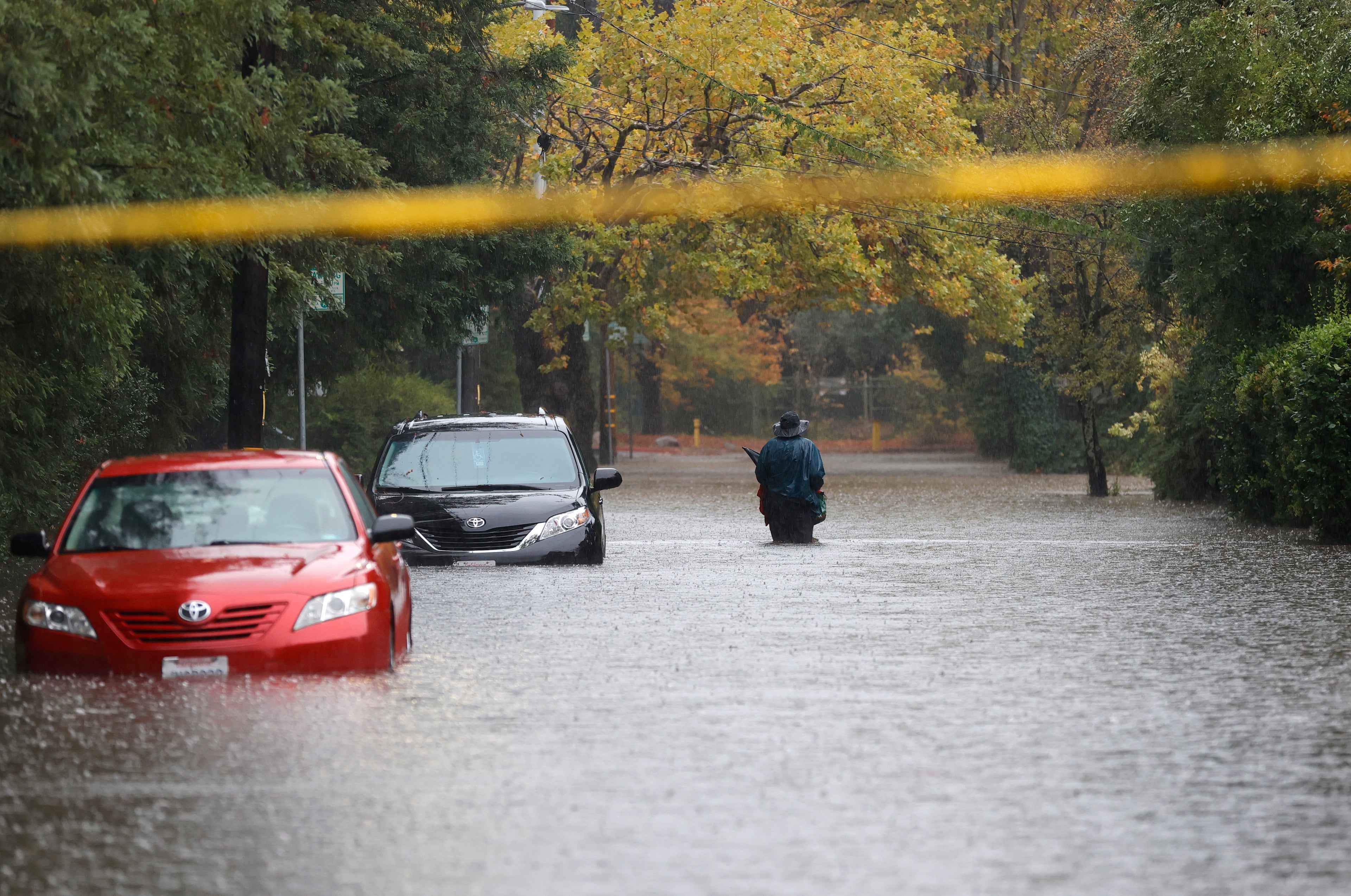
A pedestrian walks on a flooded street on Oct. 24, 2021, in Kentfield, California.
(Justin Sullivan/Getty Images)
Jonathan Erdman is a senior meteorologist at weather.com and has been covering national and international weather since 1996. Extreme and bizarre weather are his favorite topics. Reach out to him on Bluesky, X (formerly Twitter) and Facebook.