
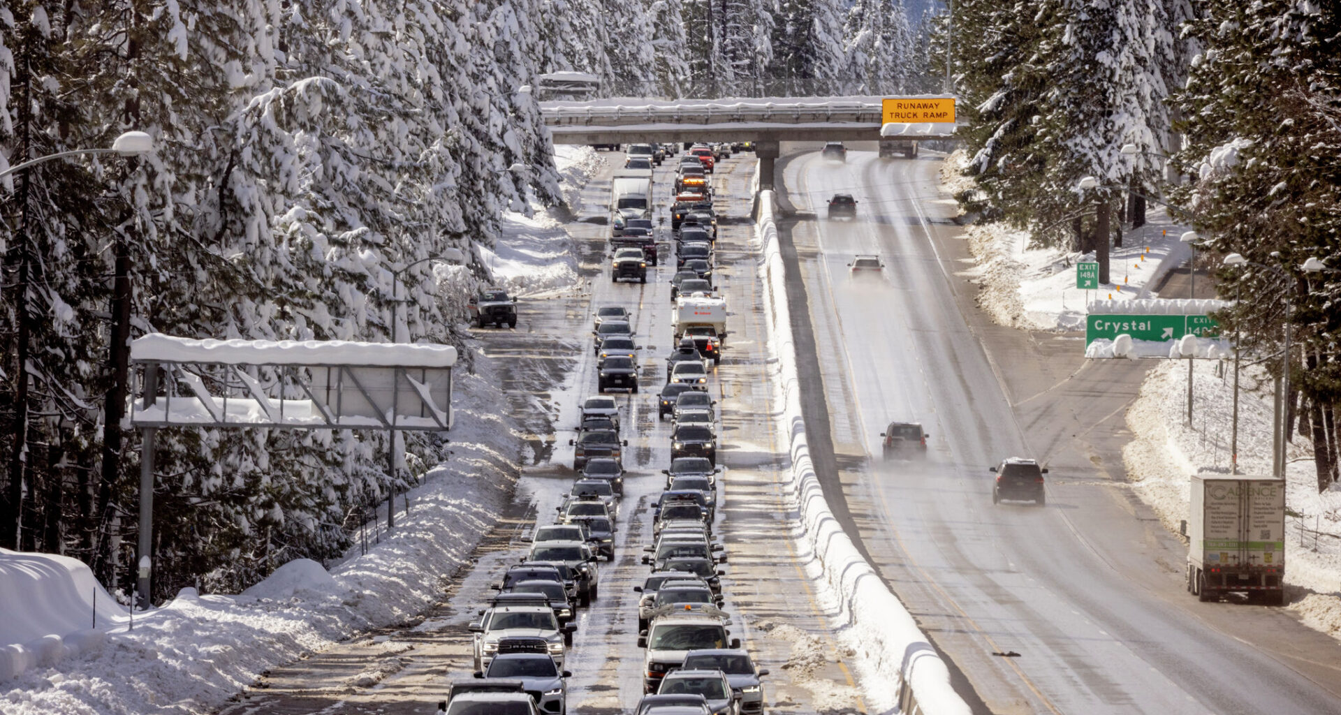
Vehicles travel along a congested Interstate 80 after a winter snow storm in Crystal Lake, Calif., Friday, Feb. 20, 2026.
Stephen Lam/S.F. Chronicle
California’s summerlike heat, coming far earlier than normal, is rapidly melting the state’s snowpack and raising fears that the wildfire season will begin early.
Fire danger, for now, is low. Grasses are green and snowmelt is keeping vegetation watered in the Sierra Nevada. But the heat wave is a blowdryer, in a sense, zapping moisture from grasses and quickly wiping away high-elevation snowpack.
Article continues below this ad
That’s what worries scientists and officials come summer.
“Generally early loss of snow means things have the potential to become drier earlier in the season and more dried out and flammable by later summer,” said Daniel McEvoy, a climatologist at the Western Regional Climate Center and Desert Research Institute.
At higher elevations, snowmelt is helping keep the landscape moist and less prone to burning, though warm temperatures this winter have significantly limited snowfall and the fire protection it provides.
San Francisco Chronicle Logo
Make us a Preferred Source to get more of our news when you search.
Add Preferred Source
“It looks like this record-breaking heat wave is going to further melt the snowpack and dry out the fuels earlier than we’d expect,” said Craig Clements, director of the Wildfire Interdisciplinary Research Center at San Jose State University.
Article continues below this ad
The best hope, Clements said, is more precipitation and cooler temperatures in April.
April, which comes at the tail end of California’s wet season, proves tricky for long-range weather forecasts. Climate signals like El Niño and La Niña have insignificant impacts on California’s weather in spring. The storm track also tends to meander in spring, proving hard to predict beyond a few days.
The existing snowpack may not make it to April.
Record-breaking high temperatures, as much as 30 degrees above normal, are forecast at the UC Berkeley Central Sierra Snow Lab through Saturday. Warmer-than-normal conditions, though not as extreme, are favored through the end of March.
The lab’s entire snowpack may melt off by the first week of April, its scientists said in a social media post Monday morning. That would be about five weeks earlier than normal.
Article continues below this ad
Scientists describe this as a “snow-eater heat wave,” which is defined as one above freezing both day and night for at least three days, with temperatures about 11 degrees above normal. Snow-eater heat waves were found to nearly double typical spring snowmelt rates, according to a multi-institute study currently under peer review, led by Alan Rhodes at Lawrence Berkeley National Laboratory.
While the Sierra’s rapid snowmelt is a concern, scientists say recent wet and snowy winters should provide an ecological buffer.
“There has not been a widespread drought in over three years,” McEvoy said.
In the Bay Area, the weather service warned this week’s combination of hot, dry conditions “would be a slam dunk red flag warning in the summer,” but noted that “the hills are still green and will not be receptive to burn.”
Clements said moisture levels in California’s vegetation, a key metric for assessing fire risk, remain generally normal for this time of year. But that’s likely to begin changing, as the heat is expected to dry out dead fuels, like fallen trees and brush piles, making them potentially flammable at a record level for this time of year. Even grasses will start drying, known as curing, amid the record temperatures.
Article continues below this ad
“After this week, we’re going to see a lot of the hills curing,” Clements said. “In the East Bay, I’ve already seen some of the southern-facing slopes start to cure. That’s problematic because of the possibility of spring fires.”
The weather service says the “next period of concern is … sometime around next weekend,” as the high-pressure system breaks down and winds pick up.
Cal Fire, the state’s firefighting agency, isn’t expecting more wildfires than average this week, since vegetation moisture levels remain normal. But it is gearing up for an earlier — and therefore potentially longer — peak fire season because of the mild winter and recent spike in temperatures.
“Most of the brush and grass right now is still green from the rain we got,” said Brent Pascua, a battalion chief for Cal Fire based in San Diego. “After this week, you’ll start to see the grass begin to turn brown and be ready to burn.”
Cal Fire will continue monitoring the state’s wildfire situation, Pascua said, and will send additional firefighters, engines and equipment to areas where the risk grows.
Article continues below this ad
He added, “just because it’s winter and springtime and we should be getting more rain, doesn’t mean we will.”
Julia Rutherford, a fire weather meteorologist at the U.S. Forest Service, said by email that “it is too early to draw definitive conclusions about this summer’s fire season,” in Northern California — not least because late-season storms could still arrive.
Rutherford wouldn’t speculate how wildfires would behave come summer, but noted worrying trends.
“There are factors of concern beginning to line up with the current low snow pack and early onset of heat wave conditions, but what happens after this week … is going to play a bigger role in determining how severe our fire season is this year,” she said.