
BAKERSFIELD, Calif. (KBAK/KBFX) — High pressure slowly moving across Texas means the warmth will start to move away as well, but not before another warm afternoon with temperatures well above average for our area on Sunday.
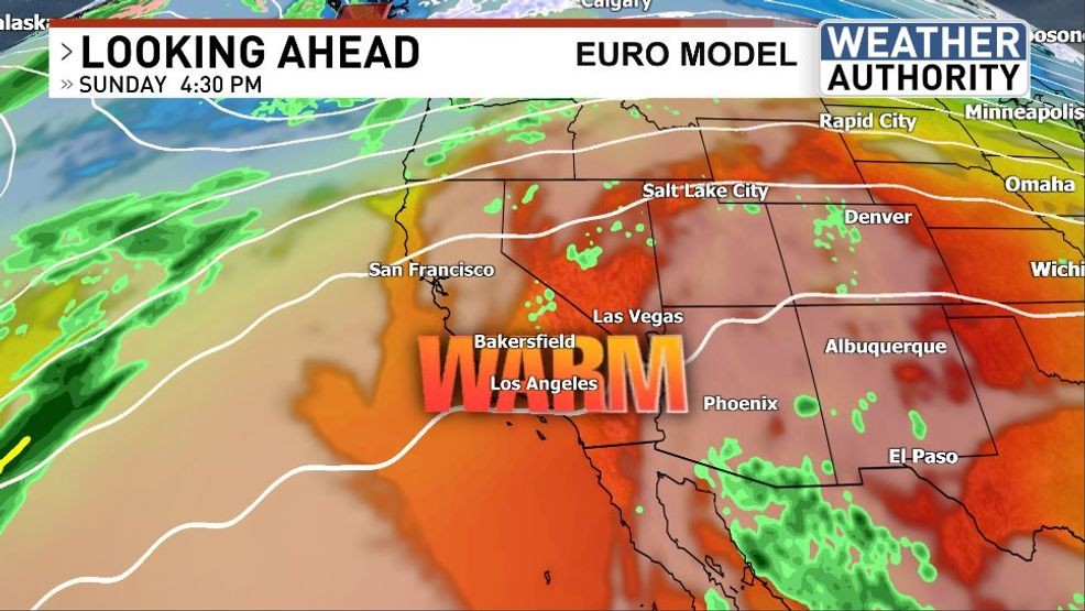
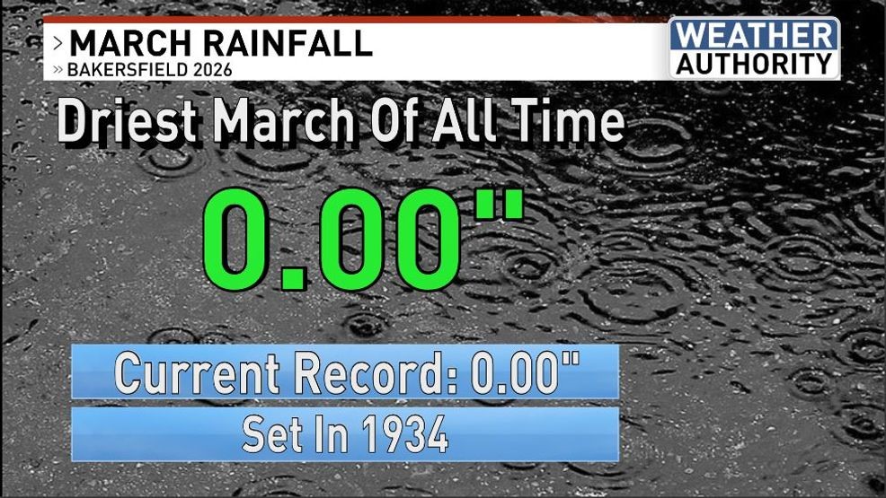
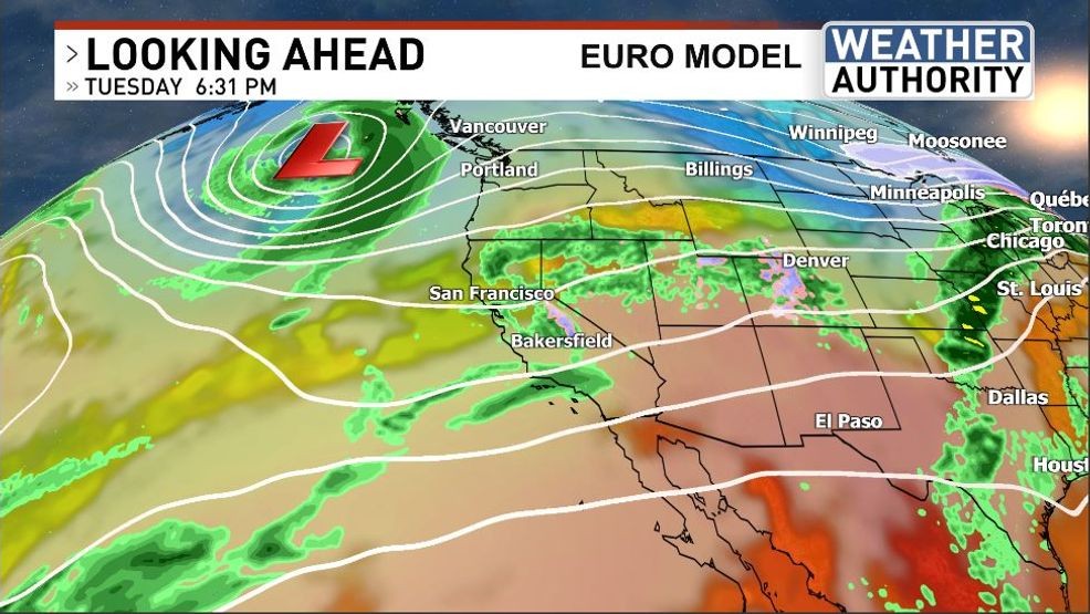
Then the changes await: a trough of low pressure will relieve the ridge of high pressure of its duties across our area and that means some changes are in store heading into the new week ahead. The most likely impact of this new pattern will be temperatures lowering CLOSER TO AVERAGE. Winds will pick up, especially across the Kern River Valley, the desert areas and our mountains as well. Finally, the possibility of at least some rain is in the forecast with the pending trough. Tuesday, being the last day of March, has the first chance of precipitation and if Bakersfield picks up ANY measurable rain before the clock strikes midnight Wednesday AM then March 2026 won’t go down as the driest on record, tying 1934. Otherwise there could be a new contender if the dry streak holds.
Have a great day!
Comment with Bubbles
BE THE FIRST TO COMMENT
Chief Meteorologist Ilya Neyman