
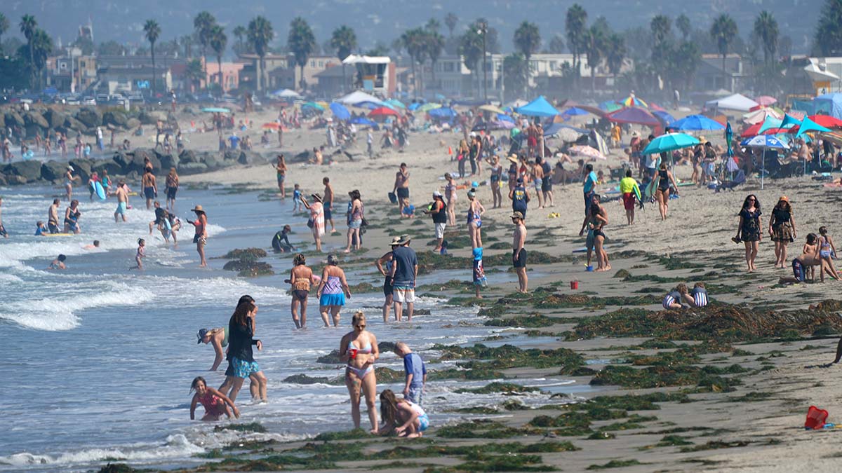
 Beachgoers begin to pack Ocean Beach Pier beach as early as 10 a.m. (File photo by Chris Stone)
Warmer and drier weather arrives in San Diego this week with a shallower marine layer into next weekend thanks to high pressure and periods of offshore flow, forecasters said Sunday.
While coastal area temperatures will be at or slightly below seasonal averages Monday, inland areas could get up to seven degrees above average, according to forecasters.
“Wednesday will likely be the warmest day, with daytime temperatures ranging from about 5 degrees above average in the coastal areas and deserts to as much as 15 degrees above average in the inland valleys,” the NWS said in a discussion.
“The offshore flow will also bring significantly lower humidity to the inland areas, especially Tue afternoon when relative humidities could reach as low as 12% in the inland valleys.”
There is also the potential of weak to moderate Santa Ana winds offshore from Tuesday into Wednesday.
Building high pressure aloft and offshore flow will bring significant warming and a reduction in the marine layer from Tuesday through Thursday, with Wednesday likely to be the warmest day.
Daytime temperatures are expected to range from about 5 degrees above average in the coastal areas and deserts to as much as 15 degrees above average in the inland valleys.
Highs along the coast will range in the low to mid-80s this week and the mid- to upper-80s inland, with a chance to reach 90. Mountains will be in the upper 70s this week, with deserts in the upper 80s.
City News Service contributed to this report.
READ NEXT