
California Department of Water Resources staff members conduct a snow survey in a mostly barren meadow at Phillips Station in El Dorado County on April 1, 2026.
Nick Shockey/California Department of Water Resources
When state experts visited the Sierra Nevada on Wednesday for their annual snow survey, they found literally nothing left to measure. The snow had melted already.
Preliminary data shows that this year’s April 1 snowpack is the second lowest on record, according to the California Department of Water Resources. That’s a big loss for California, which relies on the so-called frozen reservoir for about a third of its water needs.
Article continues below this ad
California Cooperative Snow Surveys unit manager Jim Shannon, left, and California Department of Water Resources engineer Jacob Kollen conduct the fourth media snow survey of the 2026 season at Phillips Station, 90 miles east of Sacramento off Highway 50 in El Dorado County in the Sierra Nevada, on April 1, 2026.
Melissa Sanchez Robinson/California Department of Water Resources
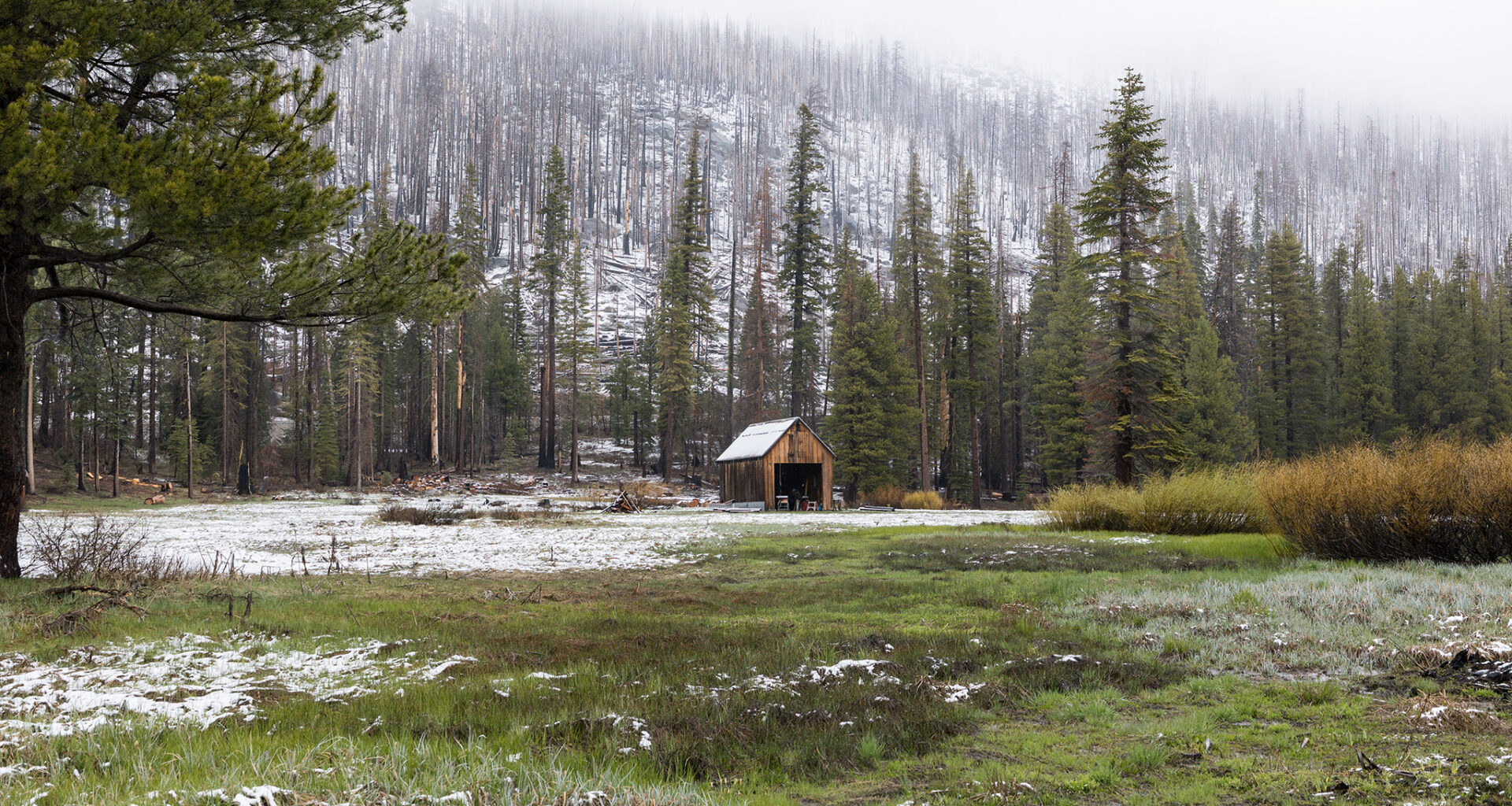
Even though precipitation did in fact blanket California this winter, the record-breaking heat meant it either arrived as rain or else melted away quickly.
“We’ve been having a warm snow drought this winter,” Andrew Schwartz, the director of the UC Berkeley Central Sierra Snow Lab, told SFGATE. “There are a few ways to get to snow drought. What we’re seeing this year is plenty of precipitation but warm temperatures, meaning rain instead of snow.”
California’s water resource managers begin recording snow and rain every fall. To date, the statewide snowpack stands at 20% of average. But because the storm systems trended south this year, the Southern Sierra has 32%, Central Sierra 23% and the Northern Sierra only 8%.
Article continues below this ad
“I described it as looking like powdered sugar on top of a cake,” David Rizzardo, an engineer for the California Department of Water Resources, said during a media briefing about the snow caught in the survey on April 1. “Does it really add up enough to melt and run off into the streams? Probably not.”
Andrew Nixon/California Department of Water Resources
This year’s statewide snowpack peaked in late February, according to the state water department. A warm atmospheric river in February and a record-shattering heat wave in March triggered the snow to thaw at least a month early.
“The melt rates that we’ve seen in March are really not seen in March,” David Rizzardo, an engineer for the California Department of Water Resources, said during a media briefing on April 1. “They’re usually seen in April or May.”
Article continues below this ad
The lowest recorded April snowpack was in 2015 during an extreme drought. But this season, total precipitation averaged statewide since October 2025 adds up to 19 inches of rain, amounting to 96% of normal.
“Now, the thing about this year that is unusual is that our precipitation is near average,” Michael Anderson, the state climatologist for the Department of Water Resources, commented during a recent media briefing. He added, “It was just rain instead of snow. And this is something that we’ll have to pay attention to, as temperatures are playing an increasing role in how our hydrology is unfolding.”
This year’s statewide snowpack peaked in late February, according to the state water department. A warm atmospheric river in February and a record-shattering heat wave in March triggered the snow to thaw at least a month early.
Andrew Nixon/California Department of Water Resources
Anderson’s agency forecasts future water supply for the state’s rivers and reservoirs with the data from the April 1 snowpack surveys. Reservoir managers use this information to control potential floods and set water supply goals ahead of the dry season. To monitor the effect of the extreme March heat wave, the department added 100 snow surveys across 18 watersheds.
Article continues below this ad
The good news is that most of California’s major reservoirs remain filled up, though it might not be for long.
“Our system relies a lot on snow right now,” Steven Ritchie, who oversees water system operations and planning from Hetch Hetchy for the SF Public Utilities Commission, told SFGATE. “We try to fill up our reservoirs so that by the first of July, when snow melt ends normally, we have a full system that can supply our customers throughout the summer and into the fall.”
Ritchie explained the early melt will likely shift that whole timeline. “We’re going to end up lower in October, and so going into next year, we’re going to be in more of a deficit than we usually are,” he said. “We’ll see where we go from there. This could be the beginning of a drought.”
The early melt and heat also mean that wildfire season could arrive early.
Article continues below this ad
“A big concern with snowpack disappearing six weeks earlier than average in a lot of areas is that it’s six more weeks of warm, dry conditions for fuels to become primed for big fires,” Schwartz said.
Karla Nemeth, the director of California Department of Water Resources, addresses news media alongside spokesperson Jason Ince at the snow survey on April 1.
Andrew Nixon/California Department of Water Resources
Similar dynamics are playing out across the entire Southwest, according to Daniel Swain, a UC Agriculture and Natural Resources climate scientist. The March heat wave set off extreme alarm bells for Swain. “This was probably the most statistically and meteorologically extreme heat event that has occurred in the Southwestern U.S.,” he said during his online office hours on Tuesday. “… For as long as we have kept rigorous records of extreme heat events, this was the singularly most anomalous one.”
Meanwhile, at UC Berkeley’s lab, Schwartz described the snow left on the ground as “patchy” on the last day of March. But the official measurement of the snow water equivalent — or how much water is stored in the snowpack — was zero at the site. That’s the future that Schwartz sees for California.
Article continues below this ad
“With the inflection point that we’re at going forward with climate change, this is a winter that we’re going to start seeing more and more,” Schwartz said. “We’re going to see these warm periods of rain, punctuated by the occasional big snowstorm, and then the snowpack warming up and becoming wet again. After roughly 2055 or so, we’re going to start to see mostly rain and very little snow.”