
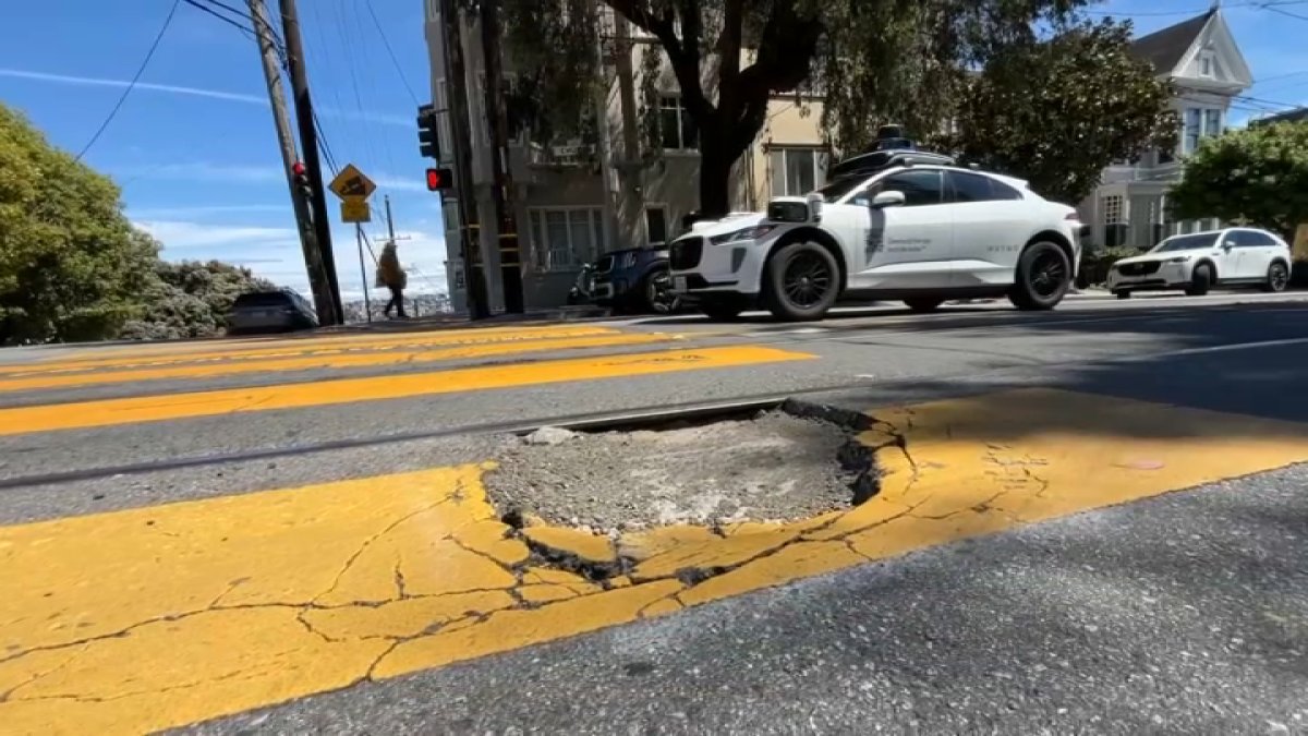
The company that brought the first driverless cars to San Francisco streets now wants to help everyone avoid literal bumps in the road.
Waymo said it’s teaming up with traffic app Waze, using its autonomous cars and the Waze app to mark the location of potholes around San Francisco.
“If you’re driving around, you can see the Waymo-reported potholes in the Waze app, but what’s really cool about Waze is they run a program called Waze for Cities where 2,000 cities in the U.S. and abroad use Waze to help identify road hazards in their cites,” Waymo’s Arielle Fleisher said.
Waze said it also has a portal where city agencies can log in and collect the data to help decide where to focus street repair efforts.
San Francisco Public Works said this is one more tool that can help crews track and fix problem areas.
“It certainly can be a helpful tool for us,” Public Works’ Rachel Gordon said. “It’s not going to be the only way we determine where the potholes are, but it’s one more data point for us to see where the potholes are.”
Gordon said the city already tracks public reports through its existing 311 hotline, and crews try to get to hotspots within 72 hours. Gordon also noted, in the effort to smooth out streets, they need to make sure every neighborhood is covered, not just those frequented by Waymos.
“There are a couple things that we want to make sure we take into account and one of them is geographic equity,” she said.