
April seemed likely to be a warm, dry month, but then weather patterns shifted.
Camille Cohen/For the S.F. Chronicle
Two weeks ago, I wrote that the Bay Area was heading into a warm, mostly dry April.
The signs supported it. The ridge of high pressure that drove March’s historic heat looked ready to rebuild after a brief early-month cooldown. Long-range models agreed. So did NOAA’s monthly outlook.
Article continues below this ad
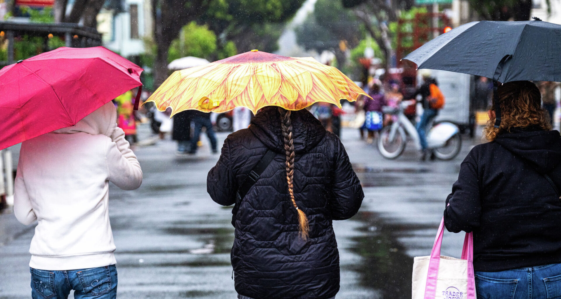
Last weekend, the North Bay picked up more than 2 inches of rain. San Francisco saw its first meaningful precipitation in nearly two months. Thunder and lightning lit up the night over the bay on Saturday and the Sierra was hammered with several feet of snow. And more rain could be on the way early next week.
San Francisco Chronicle Logo
Make us a Preferred Source to get more of our news when you search.
Add Preferred Source
We kept readers updated on the shifts via our usual day-to-day forecasts. Still, the unraveling of the longer-range April outlook was so notable that it’s worth digging into. Here’s what happened.
What I got right
The first 10 days of April mostly followed the script. Some light rain and cool temperatures to start the month didn’t last long. By Easter weekend, San Francisco was back in the 80s again. On April 5, SFO hit 81 degrees, a daily record. Temperatures were well above average across the entire region on that first weekend of April.
Article continues below this ad
The ridge of high pressure was back, dominating the eastern Pacific, keeping things warm and dry and keeping the monthly forecast on track. That held through about April 8.
How things changed
Monthly forecasts are never easy to make, especially in spring when the changing season reshapes the heat distribution balance across the planet.
But I confidently wrote that the Bay Area was unlikely to see meaningful rain in April, and that the high-pressure ridge would keep the storm track north of California.
Article continues below this ad
Instead, by April 10, a low pressure system hovered off the coast of San Francisco, sending several rounds of heavy rain through the region.
SFO recorded 2.10 inches of rain between April 10 and 12, including 1.04 inches on April 11 alone, a daily record. Downtown San Francisco picked up 1.74 inches over the same stretch. For comparison, SFO recorded just 0.04 inches during all of March. The April storm delivered more than 50 times that in three days.
The temperature whiplash was just as dramatic. SFO’s high dropped from a record 81 on April 5 to 59 on April 12, a 22-degree swing in one week.
So what broke the pattern?
Realistically, we could point to a few different factors that caused the forecast to fall apart so quickly. But the crux of the issue comes back to that predicted ridge of high pressure over the Eastern Pacific. It broke down much faster than I anticipated.
Article continues below this ad
In my April 1 outlook, I pointed to the Madden-Julian Oscillation, or MJO, as one reason for confidence in the ridge of high pressure position and the monthly forecast.
The MJO is a pulse of tropical thunderstorm activity that moves around the globe every 30 to 60 days. When it’s active in the right part of the Pacific, the heat and energy released by those storms sends a signal through the atmosphere that can strengthen high pressure over the West Coast a week or two later.
In late March, the MJO was positioned in exactly the right spot to support our ridge of high pressure. But by early April, it had weakened and drifted into a phase that no longer provided that support. The ridge lost a key source of reinforcement and became vulnerable to anything that came along, including the low pressure system that eventually did.
Spring ridges of high pressure can scramble the forecast more than winter ones. In the spring, the jet stream weakens and retreats north, which loosens the atmosphere’s grip on any given setup. Without the MJO support, the jet stream and the ridge of high pressure became more vulnerable to unexpected changes.
This is one of the reasons that subseasonal forecasting, especially in the spring, is hard. The MJO is one of the best tools we have for stretching West Coast outlooks beyond a week. But when it fades and reforms, the phase it comes back in isn’t always predictable.
Article continues below this ad
That’s essentially what happened here. Nearly every weather model that I was tracking did not capture the MJO phase change very well. There were almost certainly other factors as well, like a shift in the jet stream and a well-timed and positioned storm system breaking down the ridge. But, the MJO is one of the more traceable pieces of evidence that we can track and it was one of the core components of my forecast.
What I learned
Using the data and forecast model information I had at the time, I don’t actually think I would have done anything differently in anticipating a warm and dry April.
But, there is a lesson in every weather event. And honestly, when you work in the business of weather predictions, you get used to unexpected changes.
In this case, the lesson is likely to be careful of recency bias and tunnel vision. As April began, we were coming off a month of historic heat and dryness. I had been looking at maps and models for weeks that showed this trend both happening and likely continuing to happen.
Therein lies the lesson. In weather, nothing is certain — and it’s a general rule that even the slightest probability of an outcome happening warrants attention and investigation. I am sure that it was easier for my mind to believe that the trend we just experienced would continue, and I likely did not give enough respect to other possible outcomes.
What’s next for the rest of April?
Perhaps not surprisingly, the last two weeks of April are filled with uncertainty.
Another low pressure system will approach the West Coast toward the end of the weekend. But the details of that storm system are still in question.
Zoom further ahead and the signal gets murkier. NOAA’s Week 3-4 outlook, issued April 10, gives California equal chances of above or below normal precipitation through May 8. That highlights the uncertainty in the longer-range forecast.
The Climate Prediction Center’s Week 2 outlook (Apr 24–30) tilts wet for Arizona, New Mexico and southern Nevada. The Bay Area and most of California fall in the “equal chances” zone, meaning there’s no strong signal either way heading into the final week of April.
Baron/Lynx
The temperature outlook is a bit clearer. NOAA favors above-normal temperatures across the West for the same period, which tracks with what I’d expect.
Spring is always unpredictable, especially in an atmosphere already being influenced by a strikingly powerful marine heat wave and a fast-emerging El Niño.
What’s likeliest is the typical Bay Area temperature swings, with days of cool conditions near the water and warmer temperatures in the inland valleys. A multiday warm stretch is still possible, maybe even likely, before the month ends.
But last April taught me to hold any single outcome loosely. The signal is there. The certainty isn’t.