
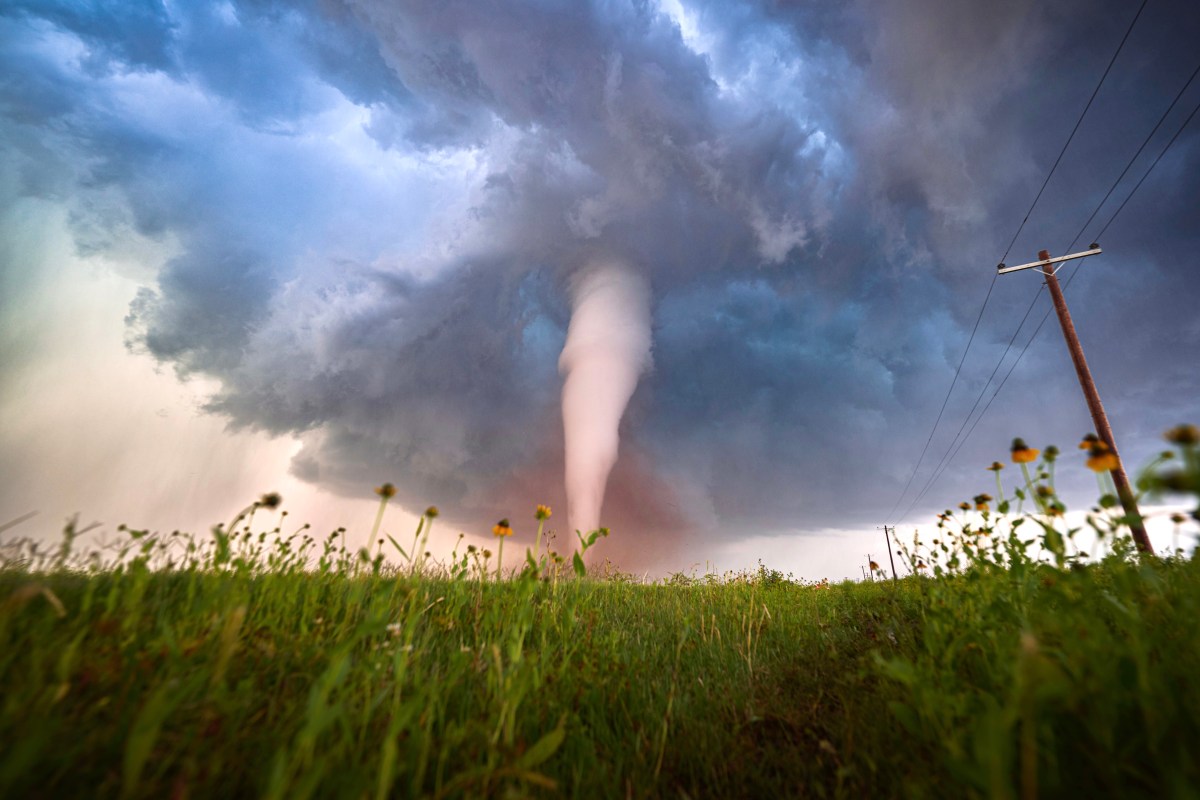
A confirmed tornado touched down in central California on Tuesday afternoon, prompting the National Weather Service (NWS) to issue an urgent tornado warning for parts of Fresno and Madera counties near the city of Fresno.
The warning, issued by the NWS San Joaquin Valley office in Hanford at 2:37 p.m. PDT, covers south-central Madera County and northwestern Fresno County and was initially set to remain in effect until 3 p.m. Forecasters said the tornado was confirmed by law enforcement and was located near Biola, about 8 miles northwest of Fresno, moving northeast at roughly 15 mph.
A “damaging tornado” was listed as the hazard requiring the warning, and the NWS warned that flying debris could pose a serious threat to anyone caught without shelter. Officials said mobile homes could be damaged or destroyed, while roofs, windows and vehicles were at risk of significant damage. Tree damage was also considered likely.
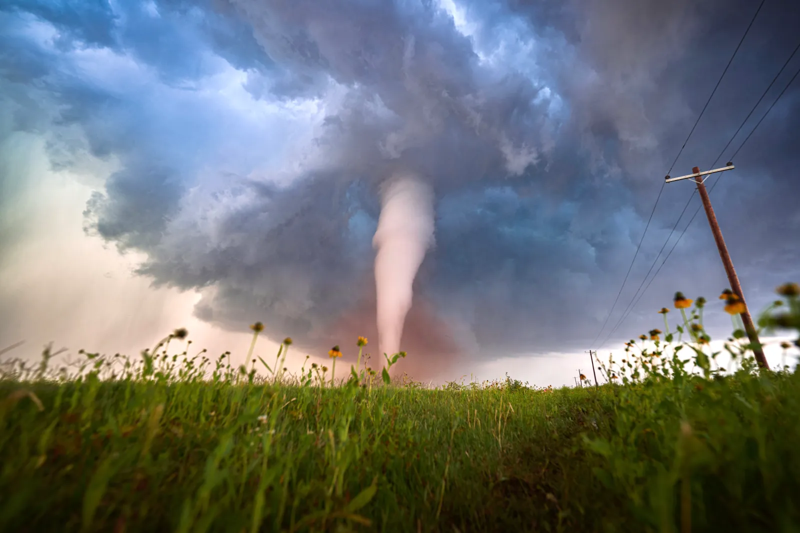
“To repeat, a tornado is on the ground. TAKE COVER NOW! Move to a basement or an interior room on the lowest floor of a sturdy building. Avoid windows,” the warning said.
Tuesday’s tornado hit as higher elevations in Central California remained under a winter storm warning, with up to 24 inches of snow possible.
“It is possible that a couple of the strongest storms produce a brief tornado on Tuesday, especially in the Sacramento Valley,” AccuWeather senior meteorologist Dave Houk told Newsweek on Tuesday morning.
The tornado was expected to move near Fresno and the Bonadelle Ranchos–Madera Ranchos area shortly after the warning was issued, with Friant also listed as a potentially impacted location.
In a follow-up severe weather statement, forecasters reiterated that the tornado remained on the ground as of 2:30 p.m. and continued its northeast motion toward the Fresno area. The agency emphasized that this was an observed tornado, not radar-indicated, heightening concerns about immediate impacts on populated areas.
Residents in the warned areas were urged to take immediate action. The NWS advised people to move to a basement or an interior room on the lowest floor of a sturdy building and to stay away from windows. Those outdoors, in vehicles, or living in mobile homes were told to seek the nearest substantial shelter and protect themselves from flying debris.
Motorists were also warned not to seek shelter under highway overpasses, which can increase wind speeds and the risk of debris. If unable to drive away safely, the NWS said drivers should either stay in their vehicle as a last resort or abandon it and lie flat in a low-lying area, covering their head.
In addition to the tornado threat, forecasters noted that torrential rainfall was occurring with the storm, raising the risk of flash flooding. Drivers were warned not to attempt to cross flooded roadways.
Tornadoes are relatively rare in California compared to the Midwest and Great Plains, but they can occur during strong storm systems that produce rotating thunderstorms.
Emergency management officials urged residents to closely monitor updates from the NWS and local authorities as the situation evolved Tuesday afternoon.