
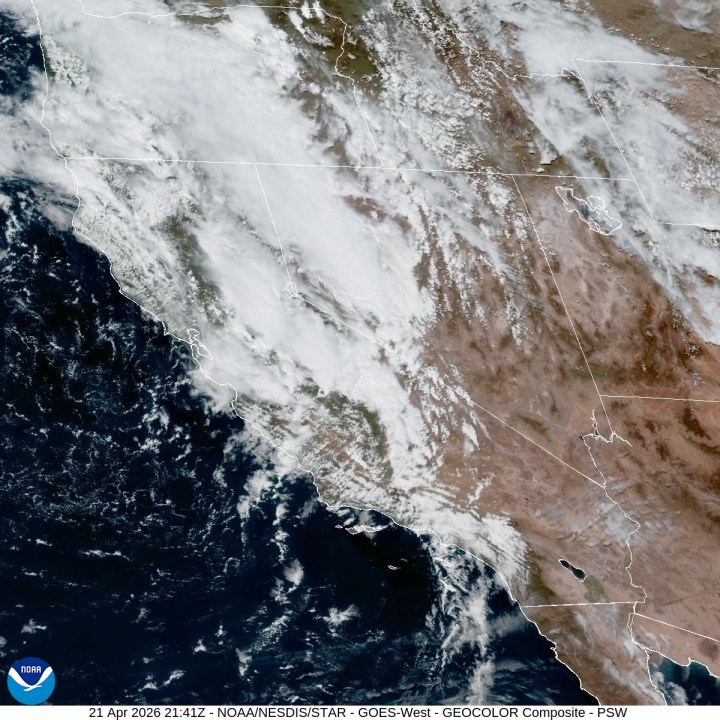

BAKERSFIELD, Calif. (KGET) — As the main rain band moves through the Bakersfield area and Kern County this afternoon, the chances for thunderstorms increase, due to the increased dynamics behind the initial wave combined with the newly fallen moisture and afternoon heating. Any thunderstorm cell that forms has the risk for small hail, frequent lightning, gusty winds, and localized flooding.
A Wind Advisory has been issued for the Kern County desert and eastern mountain slopes due to westerly wind gusts faster than 50 mph through the rest of Tuesday and into Wednesday.
2025 marked ‘historic year’ for air quality in Central California, air pollution agency says
Widespread rainfall is expected through at least 5 p.m. for the Sierra Nevada and its foothills. For the Sierra Nevada, heavy snow is expected above 7,000 feet, with totals of 3 to 5 inches above that elevation and 12 to 18 inches at the highest elevations, mainly around Yosemite.
Due to this, a Winter Storm Warning has been issued for the Sierra Nevada mountains from Sequoia National Park northwards from 2 a.m. Tuesday morning through 5 p.m. Wednesday afternoon. Along with this heavy snow, strong wind gusts of 75 mph or higher are also expected at the higher elevations.
After this system moves east and the precipitation moves on, a weak trough may still hang around aloft, with current forecast models continuing to agree with that forecast. A second, albeit weaker, cut-off low may develop later this week and produce some precipitation by the weekend, particularly in the Sierra Nevada late Saturday. This weak trough will also keep temperatures in the seasonal 70s for most of Kern County through the weekend.
Copyright 2026 Nexstar Media, Inc. All rights reserved. This material may not be published, broadcast, rewritten, or redistributed.
For the latest news, weather, sports, and streaming video, head to KGET 17 News.