
BAKERSFIELD, Calif. (KBAK/KBFX) — LATE-SEASON-LOW
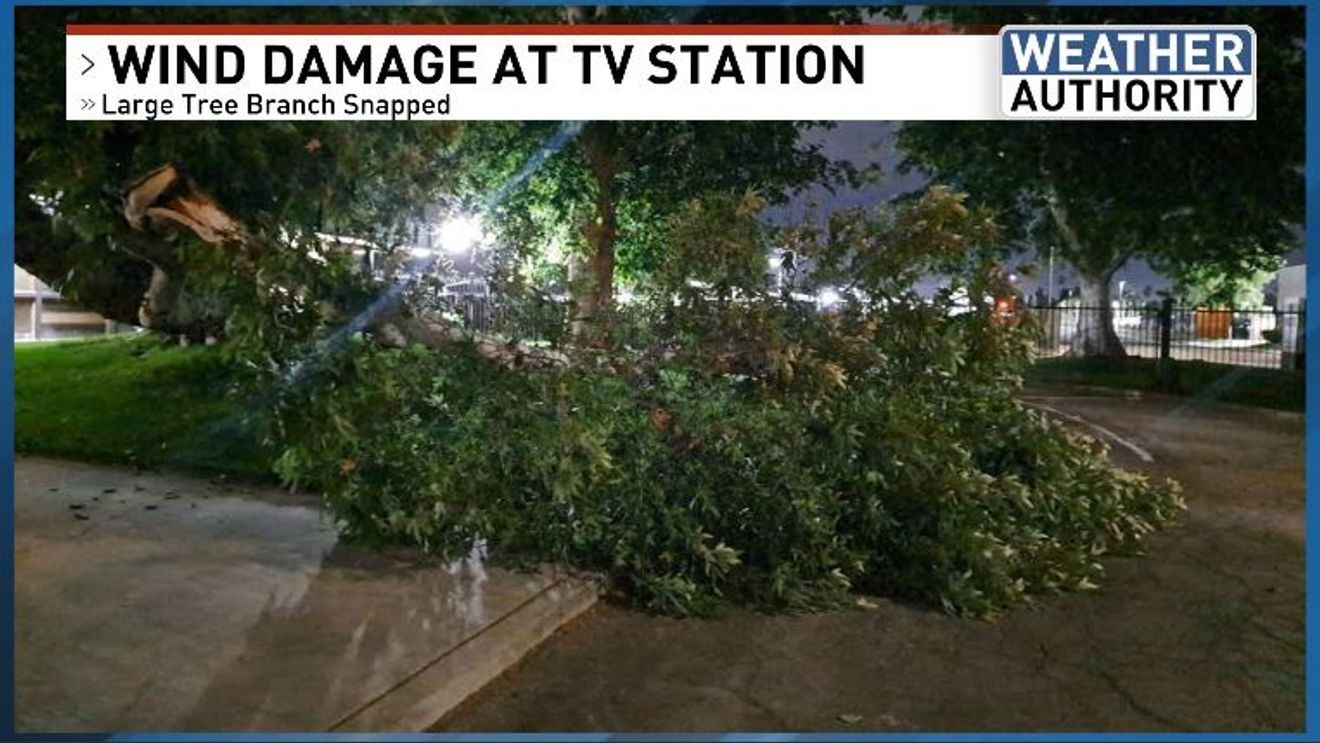
Bakersfield went from 93 on Saturday to 77 on Sunday, due to the increasing influence of a late-season-low, now spinning southwest of San Francisco. Winds really picked up during the late afternoon and evening and a large tree branch was snapped off of a big tree at the TV station. Meadows Field recorded a top gust to 37 mph. Wind Advisories are up for the desert and Mojave slopes until the period between late Monday night and Tuesday AM.
BEST CHANCE OF RAIN: EARLY TUESDAY
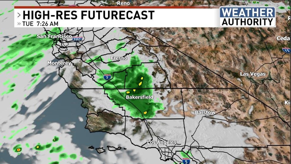
Clouds quickly developed across the South Valley in response to increasing moisture and lift Sunday night. There could be some locally damp weather today, which would primarily be in the form of mist and drizzle across the Valley and our foothills. During the afternoon and especially into the evening, more formidable showers could develop as a result of the upper low moving into the area. It continues to look like the best chance of measurable and widespread rainfall comes into the region late Monday night into Tuesday morning. At this time light to maybe even moderate rainfall will be likely from the South Valley, into the foothills, across the mountains and into the KRV. Showers could make it into some of the desert spots as well.
HOT TIMES ARRIVE?
Following this weather system an abrupt turn to heat is looking possible from mid to late week. The highest temperatures of the year could be felt next weekend, extending into early next week. If you haven’t submitted your best guess into our “Hot Time Contest” now is the time to do so! Someone could cash in, and soon….
 Comment with Bubbles
BE THE FIRST TO COMMENT
Chief Meteorologist Ilya Neyman