
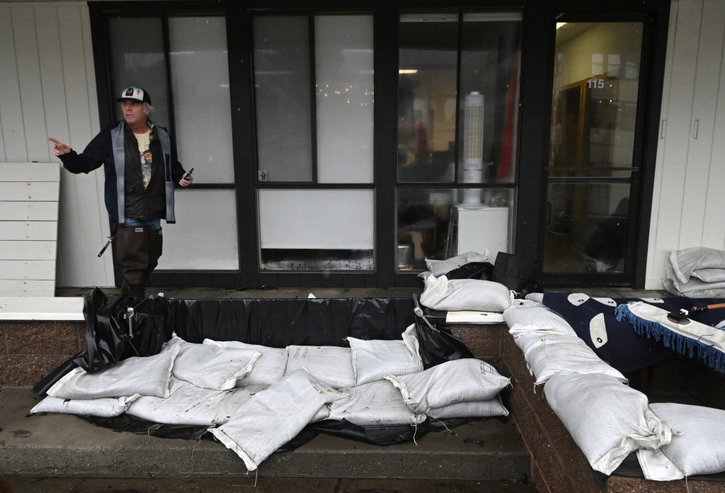
Several dozen property owners, maritime business operators, floating-home residents and local officials in Sausalito turned out to discuss ideas to reduce flooding along Gate 5 Road.
On Wednesday, they filled the Bay Model’s large hallway, where a half-dozen tables were covered with shoreline maps and surrounded by poster boards depicting current, near-term and future threats and solutions.
Craig Merrilees, who lives in a houseboat and is a board member of the recently formed Sausalito Working Waterfront Coalition, studied a map of flood conditions prepared by the city’s consultants. He suggested it could more precisely depict where sea walls have been built over the years.
“If you have sea walls, you have a level of protection,” he said. “Where you don’t, the sea finds you and fills that up in a hurry.”
Sara Khorshidifard, a city official who is managing a federal grant for a Gate 5 area drainage and management study, said the tables were set up and staffed by experts to show the public the sequence of challenges and possible solutions.
“The overall idea is Gate 5 Road is dealing with a lot of flooding and this is an urgent issue,” she said. “When it rains, it exacerbates the issue. But it is mostly due to storm surges and other factors such as sea-level rise and tides that are happening daily, and also king tides and subsidence. They all contribute to the issue.”
“The city is doing this study to understand what possibilities and interventions might be available to us. There’s an immediate pump and tide gate project that is in the works as part of the city’s CIP,” she said, referring to the city’s capital improvement projects. “So that is in the short term. However, this study is going to help us look at the big picture.”
Among the longer-term solutions shown in renderings on poster boards were increased pump station capacity; stormwater detention facilities such as holding tanks under parks and green bioretention sites; “vertical solutions” such as raising roads and buildings; and constructing seawalls.
“What I see is the beginning of what I hope to be a very productive conversation that results in solutions that address aging infrastructure and the less-than-positive impacts,” said Curtis Havel, harbormaster at Clipper Yacht Harbor, which is in the center of the shoreline being studied and has undertaken various steps to reduce flooding.
“I’m grateful the city has continued this conversation,” he said. “I definitely feel like this is a robust effort to come up with real-time solutions in the short term, and then longer-term policy solutions to address development and ongoing projects.”
“I think I need to know a lot more,” said Lizette Ruiz, who lives on a houseboat at Varda Landing, where, unlike neighboring marinas, there is no sea wall.
“The one high-level question I have is, I noticed they are encouraging the owners to pay for a sea wall because some private landowners put in a sea wall apparently 12 years ago,” she said. “Can the city help us do that? That’s what I want to know.”
“Part of our study is to look at what can be done with a fairly low-level sea wall,” said consultant Hope Cox. “And, in terms of who would pay for that, also part of our study is to look at grant funding for different kinds of projects.”
“We’re doing an implementation plan,” she said. “We’re not just doing a concept design. We’re saying this is how you could finance them potentially.”