
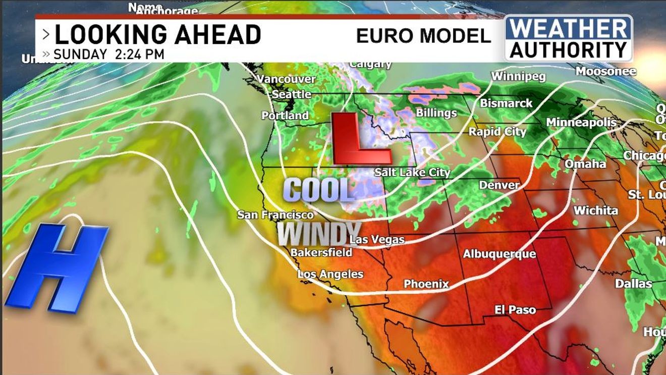
The weekend weather across Kern County can be summarized by two terms: cooler and windy!
A trough of low pressure that came off of the north Pacific is helping to bring lowering temperatures areawide. A ridge of high pressure between Hawaii and California is maintaining a strong pressure gradient (a difference in atmospheric pressure) across central California. The result of the latter is strong and gusty winds and associated higher wildfire hazard.
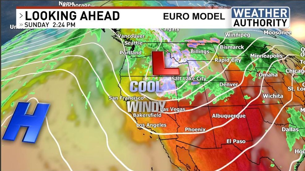
Afternoon highs won’t be all that “high” with readings possibly topping out in the low 80s from the South Valley to the Antelope and Indian Wells Valleys, low 70s across the Kern River Valley, and barely the mid 60s in the mountain towns.
Winds could gust between 40 and 70 miles per hour between the Kern River Valley and the desert, including the Tehachapi and South Sierra mountain areas.
Much warmer weather is in the forecast later on in the week.
Have a great day!
Comment with Bubbles
BE THE FIRST TO COMMENT
Chief Meteorologist Ilya Neyman