
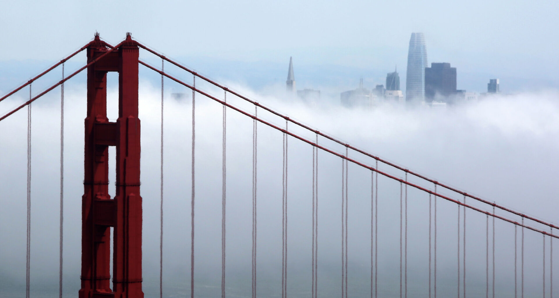
Heavy fog rolls past the Golden Gate Bridge and San Francisco skyline in 2022. Fog is forecast to extend farther across San Francisco Bay with each passing morning Memorial Day weekend.
Guy Wathen/S.F. Chronicle
Californians searching for sunshine Memorial Day weekend should head inland as low clouds and fog are forecast to blanket San Francisco, Monterey, Santa Barbara, Santa Monica and San Diego.
That doesn’t mean there won’t be sunshine at all — skies will probably clear at least partially away from the beaches — but the marine layer is expected to keep temperatures near or slightly below seasonal norms. Highs will be in the low to mid-60s in Fort Bragg, Pacifica, Carmel, Big Sur, Morro Bay and Pismo Beach and the upper 60s to low 70s in Long Beach, Huntington Beach and Oceanside.
In the Central Valley, high temperatures will be in the upper 80s to 90s under abundant sunshine. Friday is forecast to be the hottest day, with gradual cooling each day through Monday.
Article continues below this ad
Deserts will experience typical toasty temperatures. Palm Springs will be close to 100 degrees each day, with afternoon breezes, particularly Monday.
Sierra Nevada temperatures are forecast to be above normal, in the upper 60s to mid-70s, though thunderstorm chances loom in some areas.
San Francisco Chronicle Logo
Make us a Preferred Source to get more of our news when you search.
Add Preferred Source
Here’s a breakdown of possible weather disruptions and how conditions are forecast to change each day though the holiday weekend:
Friday: Sierra storms
A minor blip in upper atmosphere winds, known as a shortwave, is expected to develop over Northern California on Friday. These ripples hardly disturb weather in most areas, but can provide just enough energy to kick off thunderstorms in the mountains.
Article continues below this ad
Isolated to scattered thunderstorms are expected to form over the Sierra crest in the early afternoon. They won’t move fast, which means frequent lightning could impact the same areas for hours.
Slow-moving thunderstorms are expected to pop up along the Sierra crest Friday afternoon. Outflow winds from these thunderstorms are expected to move across Lake Tahoe in the evening.
Baron/Lynx
Storms will lose energy as the sun goes down, which will bring an increased chance of strong gusts on Lake Tahoe in the late afternoon as winds rush away from dying thunderstorm cells. People traveling to Tahoe should keep their eyes peeled and head indoors upon seeing lightning or hearing thunder.
Thunder and lightning is also possible in the central and southern Sierra in the high elevations of Yosemite, Sequoia and Kings Canyon national parks, the Trinity Alps and Klamath Range.
The National Weather Service advises of a moderate risk of heat-related illnesses in the Central Valley from early-season warmth Friday. Vulnerable populations such as the elderly, unhoused, outdoor workers, people with underlying conditions are more likely to be affected by heat, as well as those visiting from cooler climates.
Article continues below this ad
Saturday: Fog thickens as eddy swirls
Fog is expected to increase in the Bay Area on Saturday morning as a swirling region of winds, known as an eddy, pushes marine air far inland.
Counterclockwise-swirling winds, known as a coastal eddy, are expected to push cool marine air and fog across San Pablo Bay into the North Bay valleys on Saturday morning.
Baron/Lynx
The eddy’s exact position is still uncertain, but winds are likely to draw cool marine air through the Golden Gate, up San Pablo Bay and into the North Bay. That could lead to significant cooling for BottleRock in Napa, with high temperatures perhaps only in the 60s. It’s too early to say if fog will linger all day, but there’s a good chance for at least mostly cloudy skies through late morning.
San Francisco will probably be shrouded in morning fog, too, but the counterclockwise-flowing winds around the eddy may draw clouds away from the rest of the Peninsula. That would yield a sunnier day in San Mateo, Redwood City and into the South Bay.
Article continues below this ad
Sustained winds of 15 to 25 knots in areas that are typically sheltered also present a hazard to sailors and kayakers from San Pablo Bay and Richardson Bay near Tiburon and Sausalito.
Still, winds won’t be nearly as strong as this past weekend when gale warnings were in effect around the Bay Area and tens of thousands of people lost power across Northern California.
Sunday: Seasonal barbecue weather
Memorial Day weekend events will be in full swing Sunday. The weather should cooperate for barbecues and festivals, without hazards in most parts of California.
High temperatures Sunday are forecast to be near or slightly below seasonal norms along the coast and slightly warmer than normal in the inland valleys and mountains.
Baron/Lynx
The eddy wind pattern may continue in the Bay Area, but temperatures should be fairly seasonal and not too hot in most areas, in the 60s at the coast and 70s to low 80s inland. People should prepare for afternoon breezes that could easily throw around disposable utensils and other picnic items.
Article continues below this ad
Afternoon mercury readings should be within 5 to 7 degrees of normal in most locations, with the most anomalously cool conditions along the coast and the most usually warm conditions in the Central Valley and the Sierra.
Ice crystals from high clouds may help paint a colorful sunset backdrop across Northern and Central California.
Monday: Winds mark big shift
Temperatures are predicted to tumble a few degrees Memorial Day as a low-pressure system approaches Northern California.
Winds are expected to increase statewide, though exact speeds will depend on how quickly the system moves. An early arrival would yield strong winds in the Sierra that could pose hazards to boaters on Lake Tahoe, with gusts of 30 mph or higher. Breezy conditions are also expected in Antelope Valley, Coachella Valley and along the coastal waters of Northern California around San Francisco.
A cold low-pressure system over Northern California on Tuesday could bring a chance of coastal drizzle and mountain snow flurries.
Baron/Lynx
People with extended vacations through Tuesday should prepare for changing weather conditions.
It’ll remain gusty, but precipitation chances will be on the rise, particularly in the northern Sierra and northern Sacramento Valley, though parts of the Bay Area could pick up light rain, too. Temperatures will probably drop below normal across most of the Golden State, with even a chance of snow showers Tuesday night at elevations above 6,000 feet in Northern California.
Spring wet weather systems are notoriously hard to predict more than a few days in advance, so shifts in the rain and snow forecast are likely in the days ahead.