
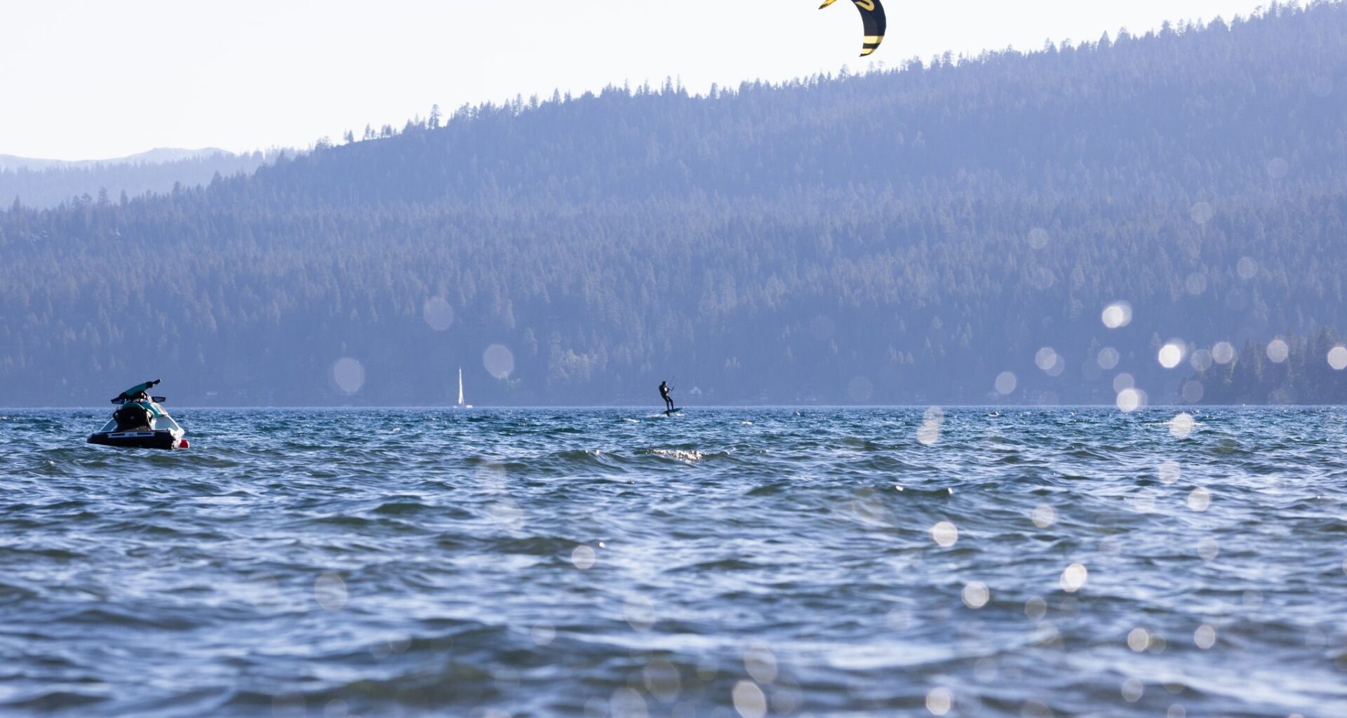
Memorial Day will bring two different but related weather hazards to Tahoe and far northeast California: dangerous winds on Lake Tahoe and critical fire weather across parts of northeastern California and northwestern Nevada.
The National Weather Service in Reno has issued a lake wind advisory for Lake Tahoe from 5 p.m. Monday to 2 p.m. Tuesday, with southwest winds expected to strengthen Monday evening and continue into Tuesday. Gusts could reach 35 to 40 mph, producing waves of 1 to 4 feet on Tahoe and Pyramid Lake, according to the weather service.
It has been a cool and windy holiday weekend so far in the Tahoe region. Still, Memorial Day typically brings a surge in visitors and lake activity, and Monday’s conditions may be somewhat deceiving. The morning is not expected to have the strongest winds, but gusts will increase during the afternoon and evening, when many boaters, kayakers and paddleboarders may already be on the water.
Small craft will be most vulnerable once winds strengthen. Choppy water and sudden gusts can make it harder to return to shore, especially on exposed stretches of Lake Tahoe where southwest winds can build waves quickly across the open water.
Farther northeast, the same broader wind pattern will overlap with much drier air. Red flag warnings are in effect Monday afternoon and evening for parts of far northeast California and northwest Nevada, including eastern Lassen County, the Surprise Valley, much of Modoc County, northern Washoe County and the West Humboldt Basin in Pershing County.
Winds will generally blow from the west-southwest or southwest at 15 to 30 mph, with gusts of 40 to 45 mph in the strongest areas. Relative humidity is expected to fall to around 10% to 20%.
Those conditions can cause fires to spread quickly, especially in valleys and foothills, where dry grasses and brush are more receptive to ignition. The concern is somewhat lower in higher-elevation fuels that still hold more moisture, but lower and mid-elevation areas where wind, low humidity and dry vegetation overlap could see rapid fire growth Monday afternoon and evening.
Winds should turn northwesterly Tuesday as a cold front moves through, bringing cooler temperatures. A chilly, unsettled pattern follows Wednesday and Thursday, with rain and high-elevation snow showers possible in the Sierra and far Northern California.