
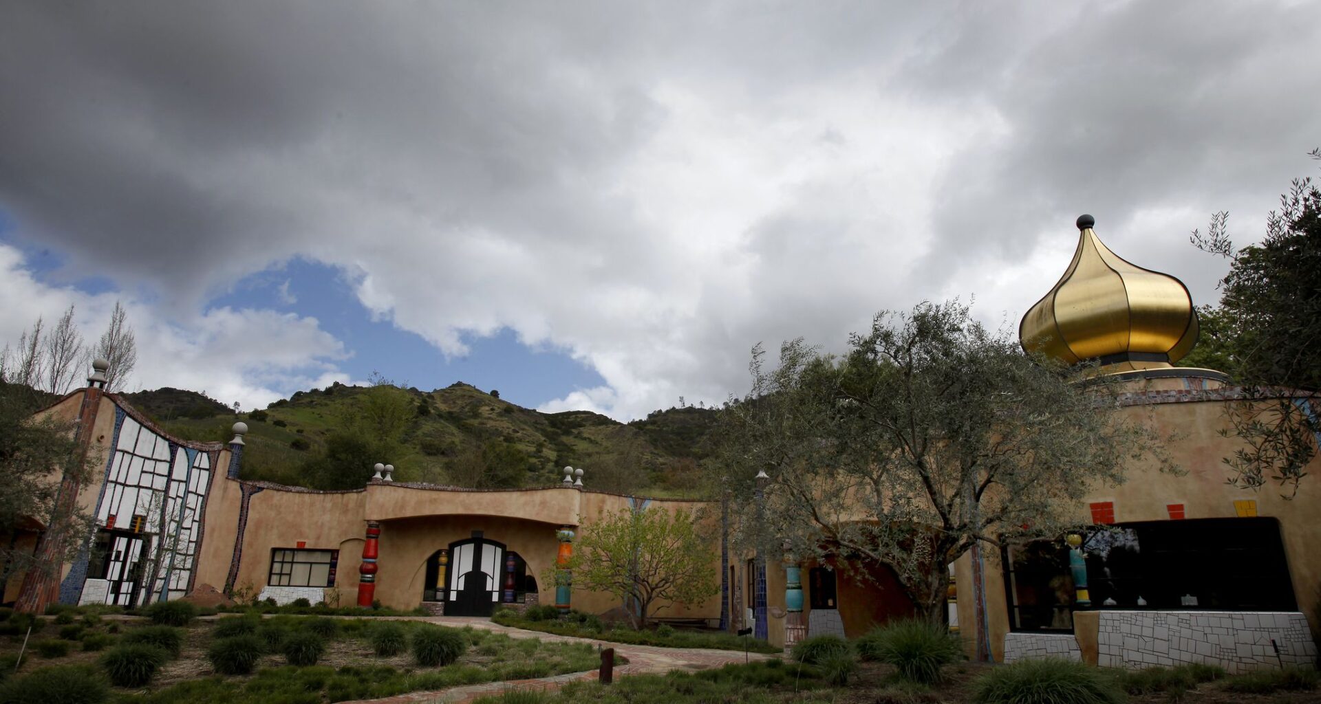
Scattered showers are expected Wednesday in Napa County, amid an unusual global weather pattern.
Brant Ward/The Chronicle
The world’s weather is in a strange pattern right now — and it’s affecting California.
A massive area of high pressure parked over Western Europe, responsible for breaking century-old records and sending London to a sizzling 95 degrees, is also creating havoc over the northern hemisphere.
The area of high pressure is blocking the normal west-to-east jet wind flow, buckling the jet stream and bringing a cool and unsettled weather pattern to the state and Bay Area this week.
Article continues below this ad
The wind pattern over our continent is south to north, with clouds and moisture streaming soaking Texas and the Gulf Coast and also ferrying extreme heat to the Northern Plains. The same buckled flow has trapped a cold upper-level low in place over the Sierra Nevada, bringing snow showers to the Tahoe region.
The red shading over Europe shows an unusually strong high-pressure ridge, often called a heat dome, that helped drive record May heat in the United Kingdom. That ridge is one part of a larger wavy jet stream pattern, which has also trapped a cool upper-level low near California and helped keep the Bay Area cool.
Alicia Bentley
That storm system, which moved from the Gulf of Alaska towards interior California on Tuesday, won’t move much over the next 48 hours. The cold, dry air associated with the storm system will steer the Bay Area weather through the rest of the week. But the abnormal “buckled” jet stream introduces higher uncertainty to forecast models.
The image loop above shows where the moisture is piling up. Texas and the Gulf Coast are sitting under a firehose, with flood watches in place for the next few days.
NOAA
The system is carrying a good amount of cold air aloft. Temperatures will be below freezing at 10,000 feet above the surface. Combine that with dry air at the surface and you get a mixed bag. It’s enough instability for pop-up showers and storms Wednesday afternoon in Solano, eastern Napa and eastern Contra Costa counties.
Article continues below this ad
howers will skirt the eastern edge of the Bay Area again on Wednesday.
Baron/Lynx
Around the bay, Wednesday is the start of a slow improvement. Expect upper 50s on the immediate coast, mid-60s in the city, mid to upper 60s along the East Bay shoreline, and low 70s in the North Bay, South Bay and interior East Bay. Wednesday will feature more clouds than Tuesday, but also much lighter winds, especially along the coast and in the city.
San Francisco Chronicle Logo
Make us a Preferred Source to get more of our news when you search.
Add Preferred Source
Thursday is when the pattern shifts again. The latest model runs slide the storm system west toward the Central Coast by Thursday morning. That should result in more clouds, gusty winds and an uptick in humidity on Thursday. It also likely means a more widespread risk of pop-up showers across the region, but that outcome depends greatly on the exact track of the storm system.
Wednesday breakdown
San Francisco: Wednesday should start with sunny skies across the city and lighter winds. By midmorning, clouds will start to build back in, leaving a mix of sun and clouds for the second half of the day. Temperatures should reach the upper 50s to low 60s in the Sunset and Richmond districts, with slightly chillier conditions at Ocean Beach and the Presidio. It won’t be much warmer downtown, with highs in the mid-60s east of Twin Peaks and toward Mission Bay. Winds will generally be out of the west at 5 to 15 mph. Overnight should turn overcast, mild and a bit humid, with a chance of spotty showers and lows in the 50s.
Article continues below this ad
North Bay: The North Bay should end up with the most sunshine in the region on Wednesday, courtesy of a drying offshore wind early in the day. The wind direction will become more onshore by afternoon, allowing more clouds to appear. Scattered showers will pop up again in Napa and Sonoma counties, where cloud cover is also likely to be a bit more widespread. Temperatures will generally be in the low 70s in Petaluma, Santa Rosa, Napa, Vallejo, Vacaville and Novato. San Rafael and Sausalito will be slightly cooler, with highs in the upper 60s. The shower threat will end after sunset, with partly cloudy, somewhat humid conditions overnight. Pockets of fog are possible, with lows in the low 50s.
East Bay: Wednesday’s weather on the bayside part of the East Bay will be similar to conditions in San Francisco. A bright start will be muddled somewhat by increasing cloud cover during the afternoon. Temperatures will be slightly warmer than in San Francisco, with highs in the mid- to upper 60s in Richmond, Oakland and Hayward. An afternoon bay breeze will cool things a bit in Berkeley and Oakland. The interior East Bay should be warmer, with temperatures in the low to mid-70s in Walnut Creek, Dublin and Livermore. That area will also be more exposed to showers sliding down from Napa and Sonoma counties, especially around Martinez and Antioch. Clouds will build across the region overnight, with a chance of scattered showers and lows in the low 50s.
Pacific Coast and Peninsula: The immediate coast should start Wednesday with sunshine, like much of the region. But onshore flow will help build cloud cover by early afternoon, leaving a mix of sun and clouds for the rest of the day. Temperatures should reach the upper 50s to low 60s in Half Moon Bay, Pacifica and Daly City. Winds won’t be as strong as Tuesday, generally out of the northwest at 10 to 20 mph. The bayside Peninsula will be much less windy Wednesday, but will also see a mix of clouds and sunshine for much of the day. Temperatures will be a bit warmer, ranging from the low to mid-60s at SFO and San Mateo to the low 70s in Redwood City. Overnight will feature more clouds and some fog along the coast, with scattered showers developing in the predawn hours and temperatures in the low 50s.
South Bay and Santa Cruz: The South Bay should hang on to mostly sunny skies into Wednesday afternoon before clouds start to develop. Temperatures will warm into the low to mid-70s in San Jose, Mountain View and Los Gatos. A few showers are likely to pop up late in the afternoon in the hills east of San Jose. Santa Cruz will likely battle more cloud cover Wednesday, keeping temperatures cooler, with highs in the mid-60s. Santa Cruz and the mountains will see partly cloudy skies overnight, with shower chances increasing in the mountains and lows in the low 50s. The South Bay will stay partly cloudy overnight, also with lows in the low 50s.
Article continues below this ad