
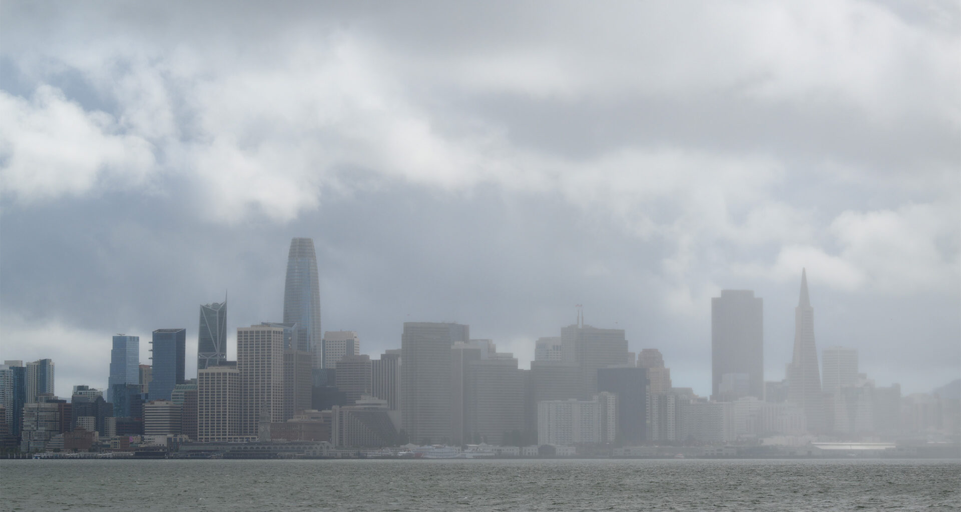
The Bay Area saw unexpectedly heavy rain showers on Thursday, with San Francisco receiving close to the monthly average rainfall for May. Roger Gass, a meteorologist at the National Weather Service’s Bay Area office, said downtown San Francisco saw 0.58 inch of rain in the past 24 hours. The monthly May average for rainfall is 0.64 inch.
The reason for the wet weather was a “cut-off low,” where a low-pressure system is separated from the main airflow. The phenomenon is also dubbed a “weatherman’s woe” since it allows unsettled or wet weather to linger for days instead of moving more quickly through an area. Gass said this system was a little unusual in that it “dropped out of the Gulf of Alaska” when normally, at this time of year, California sees monsoon moisture coming from the Southwest.
“It’s not unheard of, but it is a late-season rainmaker,” he said.
The North Bay also had more rain than anticipated by the National Weather Service, with some coastal areas seeing up to 0.75 inch of rain and most of the region getting a solid half inch of precipitation.
Gass said the wet weather will stick around through the morning commute in the Bay Area before tapering off midday for most of the region.
“We may still have some lingering in areas like San Jose through mid-afternoon, but the focus is really going to shift to the south,” he said.
In Santa Cruz, heavier rain is anticipated, with the coastal mountains having a 1 in 5 chance of seeing more than 1 inch of rain. Much of Big Sur is expected to see over 0.5 inch during the late-season showers, with the highest spots having a 50% chance of seeing more than an inch of rain, according to the weather service forecast discussion.
Gass said the thunderstorms seen Wednesday in the central and inland regions could also return, with a chance of one popping up in the Bay Area.
“I wouldn’t rule out the possibility of a rumble of thunder here or there,” he said.