
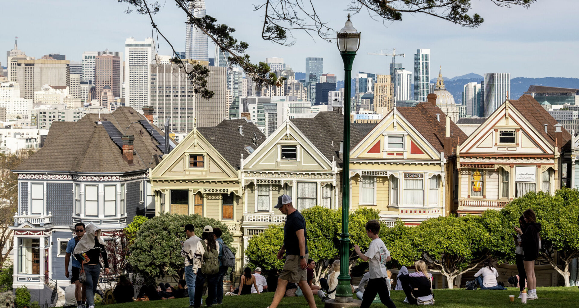
Visitors are seen at Alamo Square Park on an unseasonably warm winter day in San Francisco, Friday, Feb. 27, 2026.
Stephen Lam/S.F. Chronicle
After some rare late-May rain and a cool, cloudy Thursday, the Bay Area will begin a slow weekend rebound toward the norm as the upper-level low responsible for the unsettled pattern finally moves inland.
Friday will be the transition day. Rain chances will be over, but leftover moisture from the departing system should keep skies unsettled-looking at times. Morning low clouds are likely around San Francisco, the coast, the Peninsula and parts of the bay shoreline. Some sunshine should break through by afternoon, though skies probably won’t turn completely clear, even inland.
Onshore flow and lingering cloud cover will keep temperatures cool Friday. Anyone looking for 70-degree weather will need to head well inland in the North Bay or East Bay. Around the bay, including San Francisco, the Peninsula and the bayside East Bay, temperatures are unlikely to break out of the 60s.
Article continues below this ad
The weekend will bring a more noticeable warmup, but mainly away from the water.
The warming trend this weekend should feel much stronger inland than near the coast because the marine layer is not expected to fully collapse. Afternoon sea breezes should continue pushing cool Pacific air through the Golden Gate and into bayside neighborhoods, limiting warming near the water even as inland valleys heat up quickly under stronger sunshine.
San Francisco Chronicle Logo
Make us a Preferred Source to get more of our news when you search.
Add Preferred Source
Saturday will start the inland warming trend, with more sunshine across the valleys and highs climbing into the 70s away from the coast. The marine layer will still have influence, however. Cool ocean air should remain banked against the coast and continue spilling through the Golden Gate and bay gaps, keeping San Francisco, the Peninsula coast and parts of the bay shoreline cooler and breezier.
Sunday looks like the warmest day of the weekend, especially inland. Temperatures should climb well into the 80s in parts of the North Bay, East Bay and South Bay valleys, including Santa Rosa, Concord, Livermore and San Jose.
Article continues below this ad
Weekend breakdown
San Francisco: Friday will still feel cool and somewhat unsettled after Thursday’s storm system. Morning low clouds are likely to develop across much of the city before partial afternoon sun develops. Skies may not turn fully clear near Ocean Beach or west of Twin Peaks. Highs will hover in the upper 50s to low 60s, coolest in the Sunset and Richmond districts and slightly milder downtown. Low clouds redevelop overnight.
Saturday brings longer periods of afternoon sunshine, though cool ocean air will push through the Golden Gate, keeping highs on the west side in the low to mid-60s while downtown reaches the upper 60s with late-day breezes. Sunday will be the warmest day; morning clouds will give way to partial afternoon sunshine, pushing downtown and Mission District highs into the upper 60s and lower 70s
North Bay: Friday will be partly cloudy and cool, with morning clouds giving way to mostly sunny skies. Highs should reach the upper 60s to mid-70s in San Rafael, Napa, 70, Novato and Petaluma. Coastal Marin and Point Reyes will stay cooler, in the low 60s.
Saturday brings more sunshine and a noticeable inland warmup, lifting highs to the mid-70s in Napa and Petaluma, and the low 80s around Santa Rosa. Vallejo and places near the delta will stay a bit??. Sunday will be the warmest day of the weekend, featuring widespread 80s up the 101 corridor. Santa Rosa should reach the mid-80s, with Napa and Novato in the low to mid-80s and Vacaville pushing 90 degrees. Overnights will be cloudy at the coast, but clear away from the water with lows in the upper 40s and 50s.
Article continues below this ad
East Bay: Friday will stay relatively cool around the bay, with morning clouds followed by partial afternoon sunshine. Richmond, Oakland and Fremont should stay in the mid-60s, with slightly cooler temperatures right along the water. Farther inland, temperatures should climb into the low 70s around Concord, Livermore and Antioch. Breezy west winds are likely during the afternoon and evening, especially near the Carquinez Strait and the Sacramento–San Joaquin River Delta.
Saturday delivers a stronger inland warmup under sunny skies. Highs should reach around 70 in Oakland, low 70s in Fremont and upper 70s inland around Concord, Walnut Creek and Livermore. Sunday looks like the warmest day of the weekend. Inland valleys should climb well into the 80s, including upper 80s near Concord and mid-80s around Livermore and Walnut Creek. Oakland should warm into the mid-70s. Overnight lows will mostly fall into the 50s.
Peninsula and Pacific Coast: Friday will stay cool and mostly cloudy along the coast, with only limited afternoon clearing in Pacifica, Half Moon Bay and Daly City. Highs should remain in the upper 50s to near 60 in those spots.
Farther inland, South San Francisco, San Mateo and Redwood City will see afternoon clearing with highs in the mid-to upper 60s. Saturday brings more sunshine inland (upper 60s to low 70s) while the coast remains capped in the upper 50s with breezy afternoon winds. Sunday is warm along the Peninsula, when Redwood City could approach 80 degrees, while San Mateo and South San Francisco climb into the 70s. The immediate coast will be a bit warmer, with highs in the low to mid-60s and morning clouds giving way to at least partial afternoon sunshine.
Article continues below this ad
South Bay and Santa Cruz: Friday starts cloudy before shifting to mostly sunny in the afternoon in the South Bay. It will be cool though, with highs in the mid-60s in Mountain View, upper 60s in San Jose and Santa Clara and low 70s in Gilroy. Santa Cruz will see afternoon sunshine and temperatures in the mid-60s.
Saturday will bring more sunshine and a modest warmup across the South Bay, lifting San Jose to the low 70s and Gilroy to the upper 70s. Santa Cruz should warm into the low 70s. Sunday will be hot in the South Bay, with San Jose likely to reach the mid-80s, and Gilroy pushing 90 degrees. Santa Cruz should reach the upper 70s, with warmer temperatures likely in the Santa Cruz Mountains.Overnight lows should mostly fall into the upper 40s and 50s.