
BAKERSFIELD, Calif. (KBAK/KBFX) — It’s been a weird week of weather as an unseasonably potent and slow-moving weather system dominated our forecasts.
Consistently colder than typical temperatures, strong winds and wet-at-times conditions made it feel more like early April than late May.
Thursday, Bakersfield set an all-time “low maximum reading” in Bakersfield for the date with a 66 degree high being lower than the previous one
of 67 set back in 1953. As an example of just how cold the air was we were watching snow coming down and covering the ground during our 5 and 6 pm newscasts from our Breckenridge cam in the mountains east of town.
But, Wednesday took the cake as far as the surprise factor goes. As the 1st of 2 areas of embedded circulations moved into the area showers and thunderstorms developed across Kern County during the afternoon and evening. Drenching downpours interrupted a Wasco graduation ceremony.
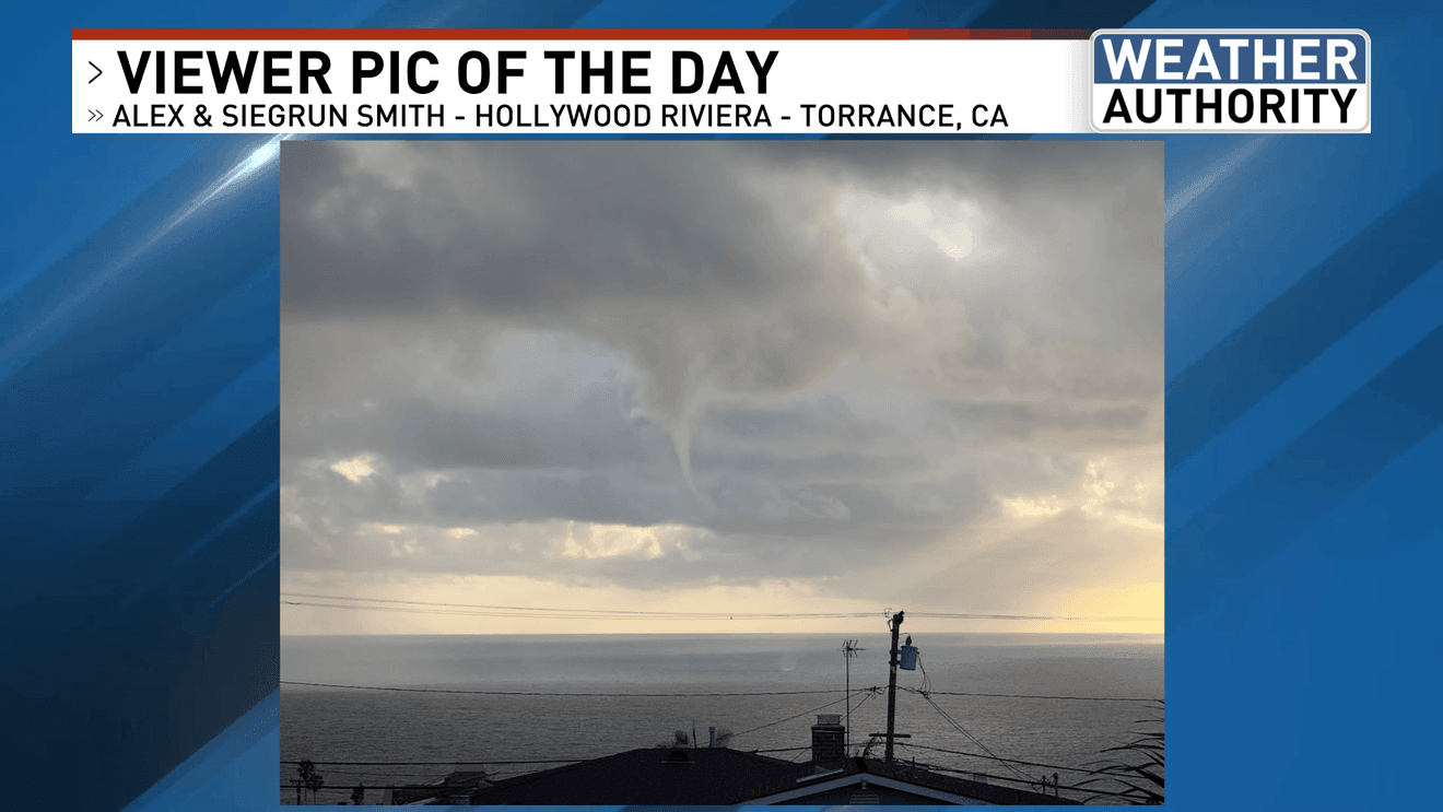
To our south, a small convective shower that wasn’t even associated with any lightning popped out a waterspout just feet from the shore of an L.A. area beach!
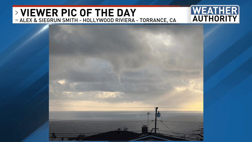
CREDIT: Alex & Siegrun Smith
This weekend looks gorgeous with a weather scene that is much quieter compared to recent days. Saturday’s temperatures while warming up even more are still expected to land just shy of the average high.
Enjoy and have a wonderful weekend!
Comment with Bubbles
BE THE FIRST TO COMMENT
Chief Meteorologist Ilya Neyman