
BAKERSFIELD, Calif. (KBAK/KBFX) — TEMPS BACK TO ABOVE AVERAGE
88 was the high on the very last day of May in Bakersfield, which is exactly at average for the date. Starting Monday, the highs are expected to climb into the 90s, which means we’d be entering above average territory. Of course, June is no stranger to heat, but those readings aren’t expected to get out of hand just yet.
90s WHOLE WEEK AHEAD
In stark contrast to last week, this new week looks to be very consistent, and much quieter. Ridging in the upper atmosphere will effectively block any substantial troughing from working in and the skies should stay pretty cloud free, with perhaps an exception from time to time preventing an entirely clear sky. Most of the area is expected to plateau in the 90s this week, with the exception being our mountain communities where the thermometers will probably level off around 80 or so. The hottest day of this new week could be Wednesday in the desert, when afternoon highs are likely to approach 100.
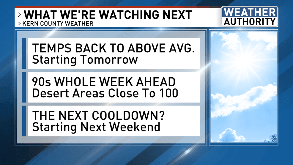
THE NEXT COOLDOWN: STARTING NEXT WEEKEND
The next “see-saw” effect appears likely toward the weekend, if one were to believe the models. They have been advertising a north Pacific trough to make inroads across the Pacific Northwest, before shifting southeastward into the Great Basin. That scenario would help the temperatures to back down and the winds to pick up. Lest we forget the previous week’s weather pattern that was also advertised as an “inside slider” ahead of time, only to become a system that came in right overhead. Hopefully our forecast will come into better focus over the next few days.
Have a great new week!
Comment with Bubbles
BE THE FIRST TO COMMENT
Chief Meteorologist Ilya Neyman