
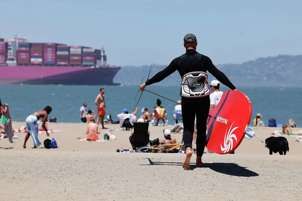
Large tidal swings and energetic seas will combine for dangerous conditions at California beaches this weekend, the National Weather Service warned.
A beach hazards statement is in effect for Pacific beaches in the Bay Area from 3 a.m. Saturday until 3 a.m. Wednesday. A separate statement is in effect for Southern California beaches from Saturday morning through Monday morning. The weather service warns of dangerous rip currents and sneakers waves, a threat that will be amplified by a large swing from very low tides in the morning to very high tides at night.
Large crowds are expected at Bay Area beaches as the World Cup draws “a lot of visitors to the area,” said Dylan Flynn, a meteorologist at the Bay Area weather service office. People may flock to the mild, foggy beaches in escape of inland heat, which is forecast to persist through the weekend into next week.
A massive swell isn’t expected to hit the California coast anytime soon, but breaking waves up to 6 feet are possible at Southern California beaches. More worrisome is the interval between waves, which could be 20 seconds or longer by Tuesday. Long-period waves contain more energy and can sweep far up beaches, posing danger to swimmers, surfers and other recreationalists.
“That’s extra current pulling people out to sea,” Flynn said.
Next week’s swell will originate from a storm in the Southern Hemisphere, a typical origin point for the largest waves to hit California in summertime. This swell will put south and southwest-facing beaches at the biggest risk.
Meteorologists are also worried the swell will be made more dangerous by large tidal swings.
The moon is at its closest point to Earth in winter and summer and has an amplified gravitational pull on Earth, causing king tides when the moon phase is new and full.
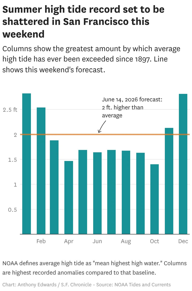
Morning low tides will be more than a foot lower than the average, while high tides are forecast to be as much as 2 feet higher than average. A coastal flood advisory is in effect for San Francisco and San Pablo bays through Wednesday morning. A separate flood advisory is in effect for the Pacific Coast from Saturday evening through Tuesday morning.
The reason high tides are especially far from average is partially because of human-caused sea level rise.
The National Oceanic and Atmospheric Administration’s tidal averages are also based on decades-old sea level data. Meteorologists manually increase forecast water levels to account for this outdated data.
Water is forecast to be 2 feet higher than the typical high tide Sunday evening, an increase from previous forecasts. It would be the highest summer tide on record by more than a quarter-foot and among the 20 highest tides in San Francisco since recordkeeping began in 1897, regardless of time of year.
Another reason for the high waters is El Niño.
As the ocean warms, it also rises, a phenomenon known as thermal expansion. With warmer-than-normal seas extending from California to Hawaii and well south of the equator, tides in the entire eastern Pacific are running higher than usual.
Light to moderate winds and waves from the distant swell are also anticipated to contribute to the high water levels.
Subscribe
There’s more to San Francisco with the Chronicle. Subscribe today for just 25¢.
This article originally published at Conditions at California beaches are especially dangerous right now. Here’s why.