
4Warn Weather Alert issued for Wednesday due to storms, flooding
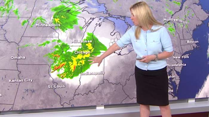
First comes the rain, then the storms. Showers have begun to develop across the area.
Between 3 p.m. and 6 p.m., rain will become more widespread.
The strongest of the storms will be between 6 p.m. and 2 a.m., with high winds, hail and heavy rain the biggest threats.
1-2 inches of rain will be possible, with a few isolated areas getting closer to 3 inches. A Flood Watch goes into effect at 4 p.m. until 4 a.m. tomorrow.
Related –> Flooding, severe storms possible Wednesday evening across Southeast Michigan — what to know
Most of Southeast Lower Michigan remains under a Slight Risk (Level 2) with areas north of M-59 under a Marginal Risk (Level 1).
Keep in mind that severe weather, including tornadoes, can occur in even the lowest risk level.
Related –> 4Warn Weather Alert issued for Wednesday across Southeast Michigan — here’s what this means
Keep your 4Warn Weather app close during the evening and overnight hours.
Related –> Flood Watch issued for most of SE Michigan — here’s how much rain is expected
Copyright 2026 by WDIV ClickOnDetroit – All rights reserved.
About the AuthorKim Adams headshotKim Adams
Emmy-award winning Meteorologist Kim Adams rejoined the 4Warn Weather Team in August 2022. You can watch her on the 4, 5, 6, 10 & 11 p.m. newscasts. You can also find her on your cell phone, tablet, computer (by downloading the 4Warn Weather app), Click on Detroit, and Local 4+.