
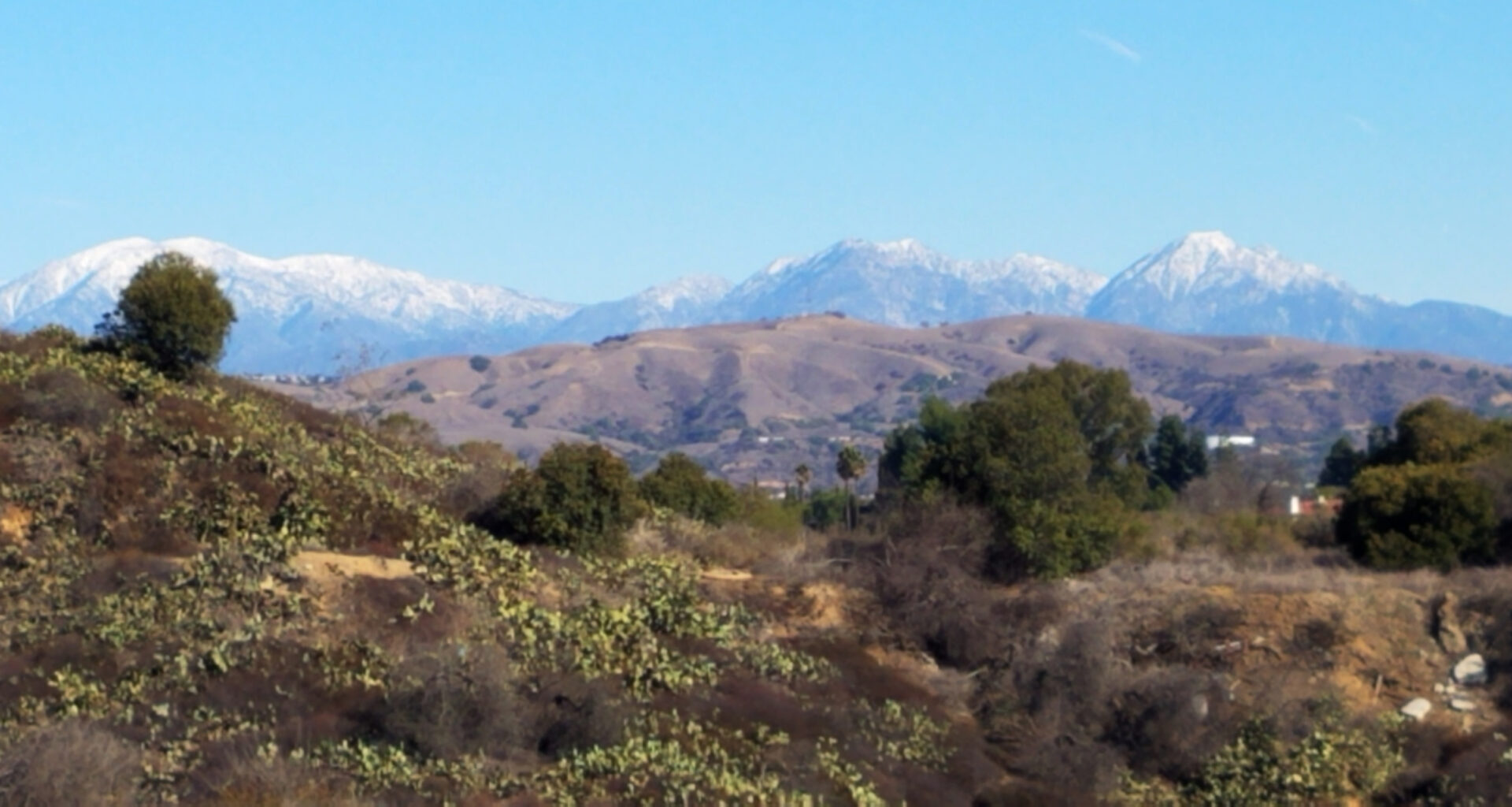

The Fullerton City Council voted unanimously, 5-0, to adopt an updated Open Space and Conservation Element as Appendix M of the city’s General Plan, satisfying a state mandate that the city missed by roughly five and a half months. The vote followed a Planning Commission recommendation and a public hearing in which speakers largely supported the policy document while pressing the city on equity, tribal recognition, and — most pointedly — how more than 130 implementation actions will actually get funded.
A State Deadline Missed
The update was required under Senate Bill 1425, signed in September 2022, which amended state law to require every California city and county to revise its General Plan’s open space element by January 1, 2026. The bill directed cities to address three areas in particular: equitable access to open space, climate resilience, and “rewilding” opportunities for ecological restoration. Fullerton’s prior open space chapter dated to 2012 and had not been comprehensively updated since.
By the city’s own account, the update missed that deadline. A public review draft was circulated in February 2026, with a 30-day comment period running from February 20 through March 20. The Planning Commission did not vote to recommend adoption until April 20, and the City Council hearing did not take place until June 16 — meaning final adoption came roughly five and a half months after the statutory cutoff. One public speaker acknowledged this directly at the hearing, telling the Council, “it was supposed to be completed by January 1” and that they’d “accept that it’s arriving a little late.” City staff did not otherwise address the missed deadline in their presentation, framing the hearing instead as the final procedural step in a process that began in September 2025.
What the Element Covers
The adopted element inventories the city’s open space holdings: 50 public parks (about 665 acres), seven joint-use school parks (about 18 acres), five natural open space/habitat conservation areas (about 700 acres) — including the 72-acre Robert E. Ward Nature Preserve — and three other open spaces, such as golf courses and the Fullerton Arboretum. Collectively, the document states, these properties cover 1,383 acres, or about 10 percent of the city’s land area.
On equity, the element relies on the California Healthy Places Index park-access metric, which measures the share of residents living within a half-mile of a park or open space larger than one acre. By that measure, Fullerton outperforms 82.4 percent of California cities, with 93 percent of residents citywide living within that walkable distance, compared to 88 percent countywide and 77 percent statewide. But the data is uneven: several census tracts fall well below that average, including areas near California State University, Fullerton (47 percent and 72 percent) and a tract along Imperial Highway (58 percent) — gaps in the element attributes are partly due to large institutional or industrial land uses not counted as public parkland.
On tree canopy, the document cites two different benchmarks that are worth distinguishing: a citywide canopy figure of 27.28 percent, drawn from the city’s 2023 Community Forest Management Plan and compared to an Orange County average of 19.54 percent; and a separate, lower statewide figure of 14.5 percent average urban canopy coverage, cited from a CAL FIRE/USDA dataset used to benchmark individual census tracts. Several Fullerton tracts — concentrated in Districts 4 and 5 and in industrial areas — fall below even that lower statewide benchmark, as low as 4 to 6 percent in spots, according to the tract-level map included in the element.
On wildlife connectivity, the state’s Areas of Conservation Emphasis dataset classifies Fullerton as having “Limited Connectivity Opportunity” for large-scale wildlife corridors, citing urban development, fragmented roads and neighborhoods, and surrounding freeways as primary barriers. The element responds by emphasizing smaller-scale “rewilding” — native plantings, wildlife-friendly infrastructure such as culverts and buffer zones — rather than large continuous corridors.
The seven goals adopted range from routine open-space management and maintenance (Goal 1) to habitat and waterway protection (Goal 3), trail connectivity (Goal 4), rewilding and climate resilience (Goals 5 and 6), and community engagement (Goal 7). Staff emphasized that the update carries no new fees or assessments and involves no zoning or land-use changes — it is, as Mayor Fred Jung characterized it at the outset of the hearing, primarily a policy document.
Public Comment: Support, With Conditions
Public comment was uniformly supportive of adoption but raised several recurring concerns. Multiple speakers, including Parks and Recreation Commissioner Joseph Maldonado and a self-identified Indigenous community member, called for a memorial or dedicated recognition of the Tongva/Kizh and Acjachemen peoples, whose ancestral territory includes present-day Fullerton; the element notes no federally recognized tribal lands exist within city limits, but documents the region’s pre-settlement Indigenous history. One speaker also objected to the survey’s use of a tribal name assigned by the Spanish mission system rather than the name the people used for themselves.
Several speakers, including resident Jensen Hallstrom, pushed for specific sites — a possible nature park at the former Bastanchury Tree Farm parcels near Gilbert, Olive, and Valencia Park neighborhoods, and improved pedestrian/bicycle crossing of the Brea Creek channel at Malvern and Gilbert — though the document does not list either as a named project. Another commenter, identified only as “January,” raised technical concerns about prioritizing conservation areas over parks in the document’s hierarchy, requested a dedicated creek-and-canyon map, and questioned whether a CEQA Notice of Exemption was sufficient given an earlier environmental impact report covering the same area.
The most substantive policy exchange came after public comment closed, when a Council member pressed staff on financing. Staff acknowledged the roughly 130-item action plan — which is kept as an internal document and was not filed as part of the adopted element — relies primarily on competitive state and federal grants, including Proposition 4 open-space funding, with no dedicated local funding mechanism identified. The same Council member noted that a previously proposed policy to direct park-impact (“Quimby Act”) fees toward the specific neighborhoods generating new development had not passed, and that competitive grants can take decades to secure, citing Union Pacific Park’s nearly 20-year wait as a precedent. No funding mechanism was adopted at the meeting; the discussion ended with staff committing to address funding and prioritization through the separate, forthcoming Parks Master Plan.
The element also documents the unresolved status of West Coyote Hills, a 510-acre site where the city completed acquisition of roughly 218 eastern acres in December 2021 (creating the Robert E. Ward Nature Preserve, with trails opened in May 2023), while roughly 292 western acres remain subject to both ongoing Phase II conservation-grant efforts and the possibility of future development, pending federal funding outcomes.
The Council’s adoption resolution included the CEQA exemption under Section 15061(b)(3) and replaces Chapter 19 of the General Plan in its entirety. Staff indicated the adopted element would be submitted to the state’s Governor’s Office of Land Use and Climate Innovation following the hearing.
Related
Discover more from Fullerton Observer
Subscribe to get the latest posts sent to your email.