
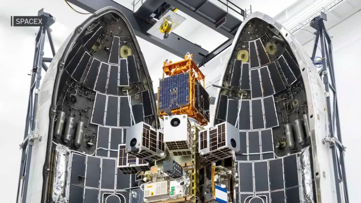
Three FireSat satellites launched from Vandenberg Space Force Base early Wednesday, marking a major step in wildfire detection technology that could help fire agencies improve response times and better prioritize the fires that pose the greatest threat to communities and ecosystems.
The satellites, launched aboard a SpaceX Falcon 9 rocket into low Earth orbit, are purpose-built to monitor wildfires. According to Earth Fire Alliance, the new technology is expected to provide more detailed information about fires, including detecting fires as small as a shipping container, measuring fire intensity, identifying burn scars up to five years old, and seeing through wildfire smoke.
“They’re the first satellites that have been purpose-built for fire,” said Dr. Karen O’Connor, who is the founding principal of Earth Fire Alliance.
O’Connor said Earth Fire Alliance interviewed hundreds of experts and agencies, including Cal Fire, to determine what information was needed from space to better identify wildfire threats on Earth.
Those conversations helped shape the FireSat system, with capabilities designed by Muon Space as it developed the satellites.
The three satellites will undergo monitoring and testing over the next three months. By the end of the year, live data is expected to begin flowing to fire agencies.
When asked whether the satellites could improve response times for firefighters, O’Connor said they have that potential.
“I think they could. And I think the other thing that these satellites will be able to do is help them to prioritize those fires that might actually have the most impact on communities or ecosystems,” O’Connor said.
Initially, the satellites will provide images of the same area twice a day, with each of the three satellites contributing one image during each pass.
“And these satellites will feed down twice a day. You’ll get three images, one from each of the satellites twice per day over the same area. And then as we build out the constellation, our next aim will be to have enough satellites that you will get an image over the same area every hour. And then the ultimate goal is every 20 minutes,” O’Connor said.
The long-term goal is to deploy a full constellation of 52 satellites in low Earth orbit by the early 2030s, providing more comprehensive wildfire monitoring around the world.
“And we have prioritized the Amazon alongside the Boreal region and the Indonesian peat forest areas, because we see those as really vital world resources that we need to protect,” O’Connor said.
O’Connor said the live data collected by the satellites will be unlike anything gathered before and will also be shared with the science community to help researchers better understand fire behavior.
This story was originally reported for broadcast by NBC San Diego. AI tools helped convert the story to a digital article, and an NBC San Diego journalist edited the article for publication.