
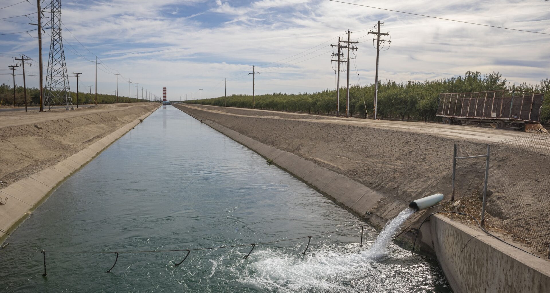
The U.S. Geological Survey’s California Water Center estimates 15% of the Central Valley’s groundwater storage capacity has been permanently lost because of subsidence.
Jul 27, 2026
Updated 3:01 pm PT
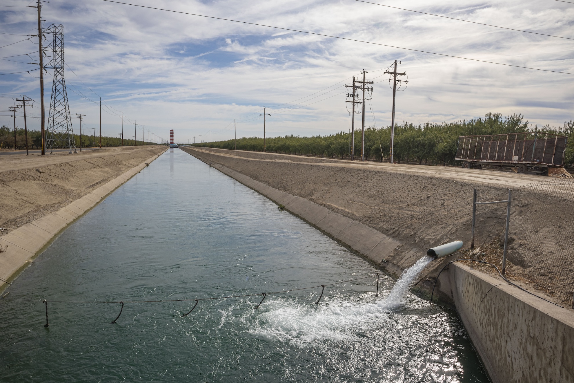
A water irrigation canal in Shafter, California. (Citizen of the Planet/UCG/Universal Images Group via Getty Images)
Some farming towns in California’s Central Valley have sunk by more than 11 feet in recent years because of groundwater pumping, the extraction of water from underground aquifers using wells and electric pumps for drinking, farming and industry.
While some land subsidence is temporary, excessive pumping can cause aquifers to permanently collapse, reducing storage capacity and damaging homes, roads, bridges and canals.
New research from UCLA and Caltech has outlined a way to detect when temporary land subsidence becomes permanent and irreversible.
The research, published this week in Proceedings of the National Academy of Sciences, uses satellite imagery to identify the “abrupt transition to irreversible damage.” Researchers hope this will give decision makers new tools to keep an eye on water resources.
“If you start seeing that the ground is subsiding this fast, like we’re seeing, we’re hoping this is really an early warning signal that, okay, something is wrong, we need to stop pumping groundwater right now,” said Stacy Larochelle, an assistant professor at UCLA.