
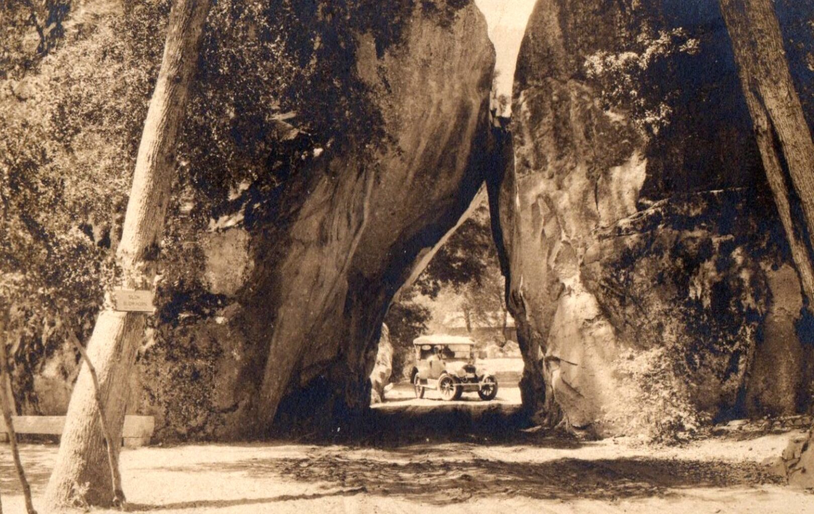
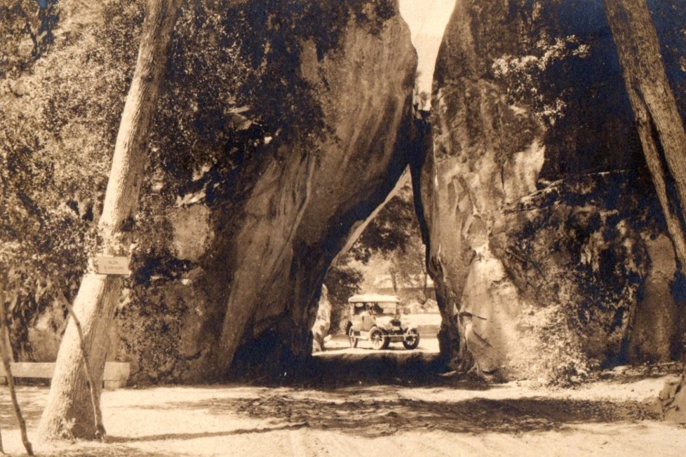
A century ago, construction was finished on the road that is State Route 140 today, and one could drive year-round from Merced to Yosemite Valley through the Arch Rock entrance, seen here in a circa-1920s postcard. (Steven Finacom for Bay Area News Group)
Regular readers will be familiar with my recent periodic notes in this column tracing the development of a ferry pier on the Berkeley waterfront exactly a century ago in 1926-27.
Today, decades after that Berkeley ferry ended and several years after the still-standing-but-deteriorated Berkeley Pier was closed for public use, there’s a new Berkeley waterfront ferry proposal slowly working its way through public and funding processes.
This coming Sunday at 2:30 p.m., there’s a free panel discussion about “economics, history and the future” of the Berkeley ferry. Participants include Berkeley historian Chuck Wollenberg, City Councilmember Terry Taplin, former Coastal Commission member Jim McGrath and former Metropolitan Transportation Commission member Randy Rentschler.
The event is at the Berkeley Historical Society and Museum, 1931 Center St. in the Veterans Memorial Building, which has a free current exhibit on the Berkeley waterfront’s history. This Sunday’s talk will be timely, as it will be nearly an exact century since the Aug. 4, 1926, announcement that the pier’s construction would “start immediately.”
New highway: California Gov. Friend Richardson led an automobile caravan into Yosemite National Park on July 31, 1926, to inaugurate the first “all-year road into Yosemite Valley.”
Built by “the sweat and brawn of prisoners from the state penitentiaries,” the “high-gear highway” would “make the Yosemite more accessible” not only to California’s estimated one million automobile owners but would also accommodate “thousands of visitors from other states and other lands who have heard of the beauties of the Yosemite.”
The road is now State Route 140, which connects from Merced through Mariposa into the Merced River Canyon and up through El Portal to Yosemite Valley.
Traffic safety: Locals who opened the Berkeley Daily Gazette a century ago at the beginning of August 1926 saw regular public service announcements that featured a formidable-looking police officer reminding them to use proper and safe driving etiquette. This was all part of Berkeley’s campaign for street safety in mid-1926.
Motorists were admonished to use proper hand signals, including making a hand signal at least 50 feet before turning, and “signal so pedestrians can see your signals.” One additional piece of advice was “signal before turning, not after”, a sensible step to take today too, when motor vehicles all have lighted car signals.
In other traffic news, at 4 a.m. July 30, 1926, Berkeley police chased a speeder who fled from them at 60 mph along San Pablo Avenue. The pursing officer shot six times at the car, hitting it at least three times but failing to stop it.
New assessor: Harry J. Squires planned to end “nearly 20 years of continuous service as city assessor” on Sept. 1, 1926, “to become the city’s land valuation expert,” the Gazette reported. Frank W. Flitter was to become the new assessor, earning $265 a month.
Squires “is a pioneer in municipal service and one of the best liked of city employees,” the Gazette reported. “He began his career in the interest of the city 34 years ago when he joined the Fire Department.” Squires had lost a leg in 1905, when he fell through the floor of a burning building and switched occupations when he was elected assessor in 1907. “His office has been termed a model assessor’s office,” according to the Gazette.
Accidental shooting: On Aug. 1, 1926, John Sinclair, 16, of Oakland, ‘was shot in the knee” during a hiking trip to Grizzly Peak with friends. A 17 year old had brought along a revolver and accidentally shot Sinclair while reloading. A century ago, it was common for hunting and shooting parties to go into the then-undeveloped Berkeley hills.
Bay Area native and Berkeley community historian Steven Finacom holds this column’s copyright.