
The creation of this content included the use of AI based on templates created, reviewed and edited by journalists in the newsroom. Read more on our AI policy here.
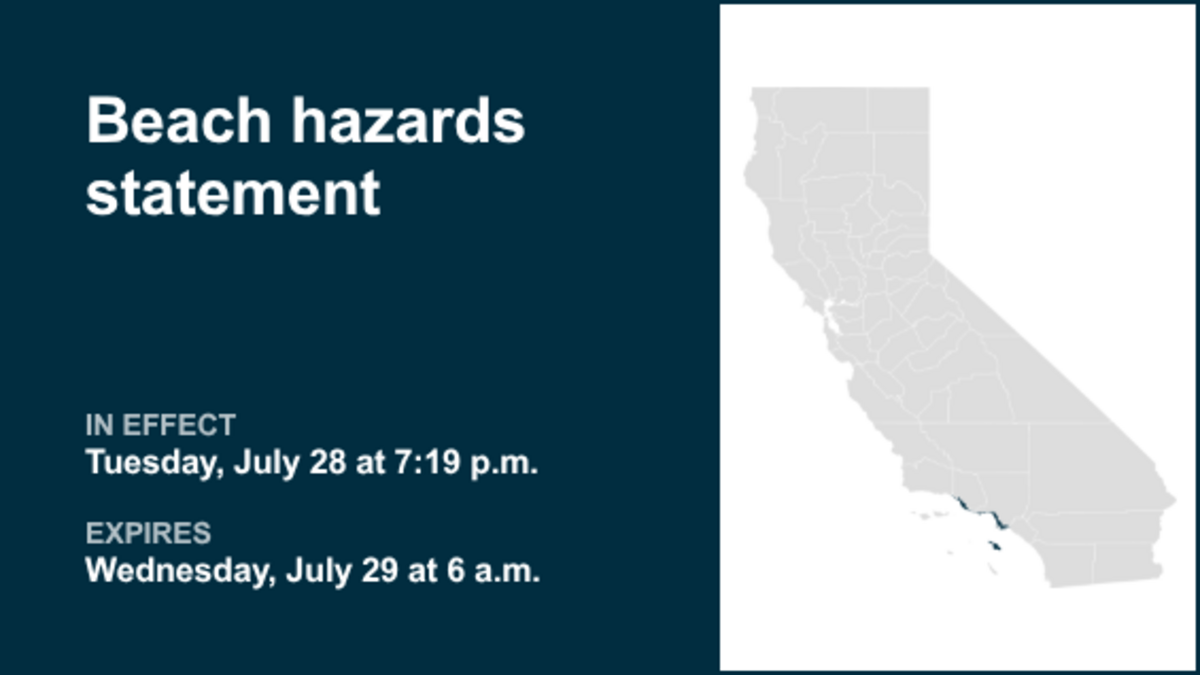
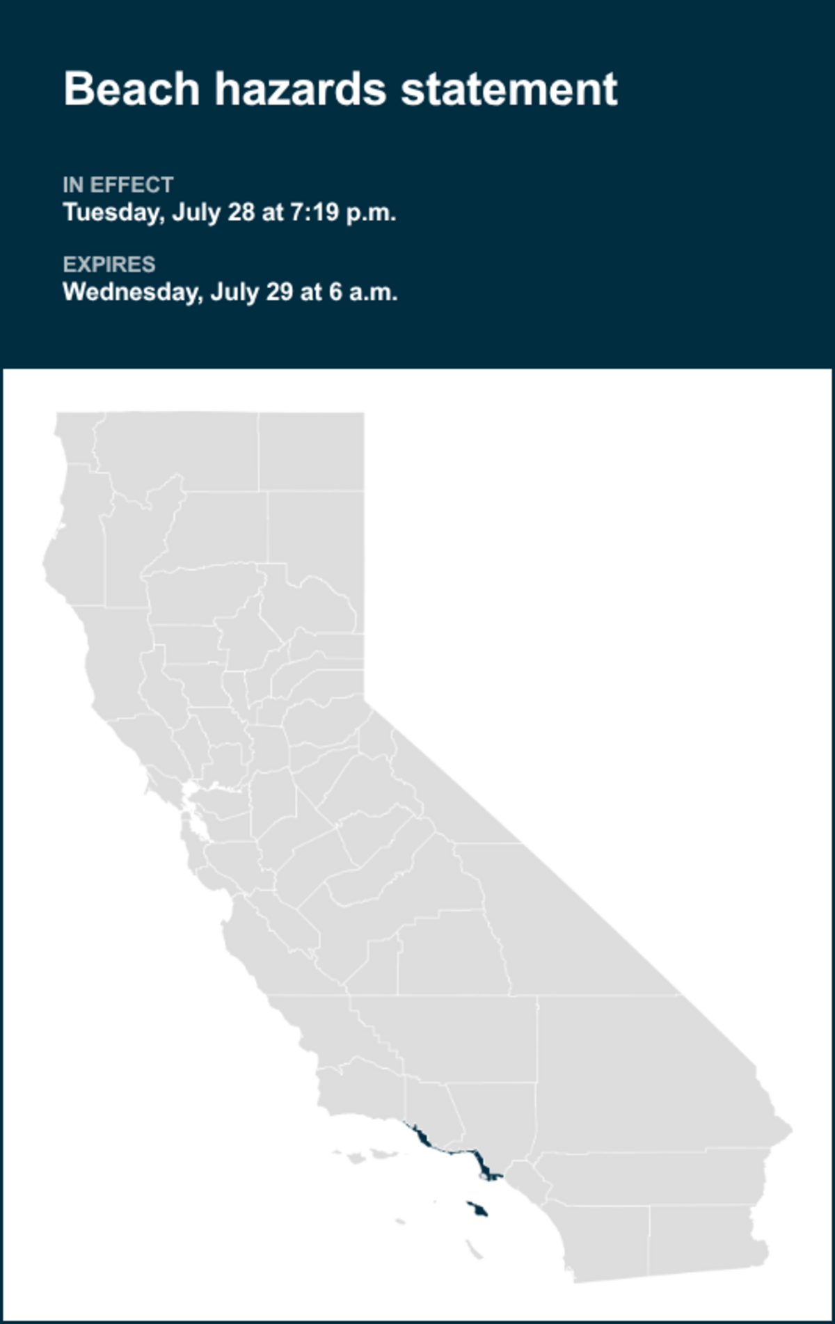
On Tuesday at 7:19 p.m. the NWS Los Angeles/Oxnard CA issued a beach hazards statement in effect until Wednesday at 6 a.m. The statement is for Catalina and Santa Barbara Islands, Ventura County Beaches, Malibu Coast and Los Angeles.
“Dangerous rip currents and breaking waves due to elevated surf,” can be expected according to the NWS. “High tides of 6.2 to near 7.0 feet will occur in the evening hours through Friday night, peaking tonight through Thursday night. In conjunction with the highest expected surf from the Hurricane Genevieve southerly swell, the best potential for minor coastal flooding impacts is expected Wednesday and Thursday evening.”
“Flooding of sea water is likely around the time of high tide, over vulnerable low-lying coastal areas such as parking lots, beaches, and walkways. Significant damage to roads or structures is NOT expected. There is an increased risk of ocean drowning. Rip currents can pull swimmers and surfers out to sea. Large breaking waves can cause injury, wash people off beaches and rocks, and capsize small boats near shore,” explains the NWS. “Take the necessary actions to protect flood-prone property. Do NOT drive around barricades or through water of unknown depth. Remain out of the water due to dangerous surf conditions, or stay near occupied lifeguard towers. Rock jetties can be deadly in such conditions, stay off the rocks. Remain out of the water due to hazardous swimming conditions, or stay near occupied lifeguard towers. Rock jetties can be deadly in such conditions, stay off the rocks.”
This statement is in effect until Wednesday at 6 a.m.
Source: The National Weather Service
United Robots California
This story was originally published July 28, 2026 at 7:23 PM.