
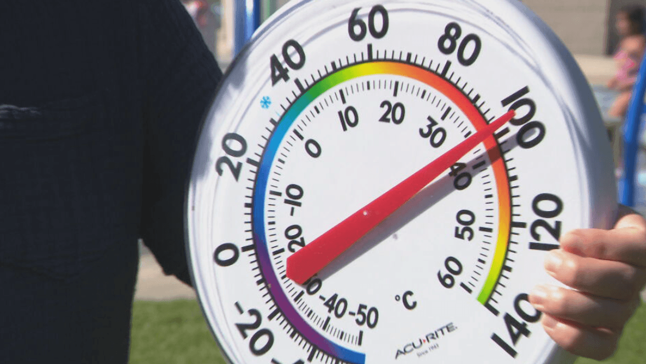
BAKERSFIELD, Calif. (KBAK/KBFX) — HIGHEST TEMPERATURE OF THE YEAR SO FAR
Sunday topped out at 107 at Meadows Field, marking Bakersfield’s hottest reading of the summer so far. It was downright sweltering across our desert towns, with Ridgecrest reaching 114 at a couple neighborhood sensors. Inyokern and Edwards both tied at 109 and Rosamond joined the fun at 106. The Kern River Valley came up to between 101 and 104 while the mountains reached into the 90s with Tehachapi at 95 and Frazier Park at 91.
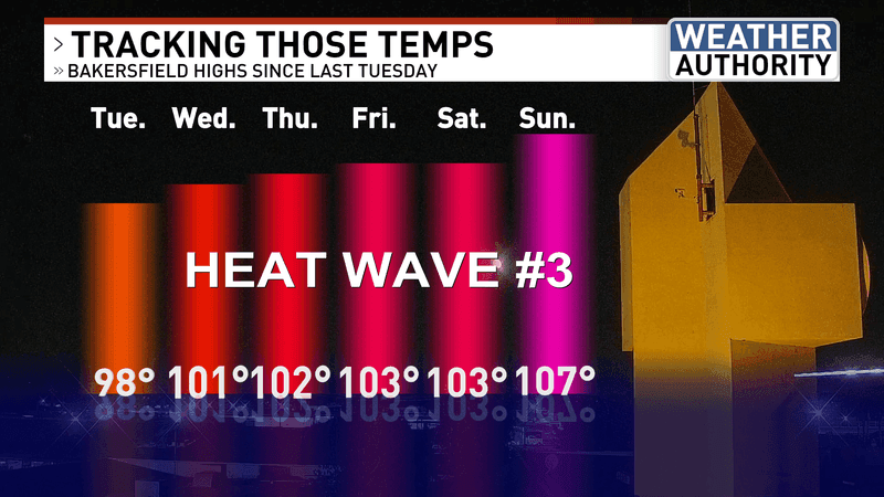
HEAT STAYS
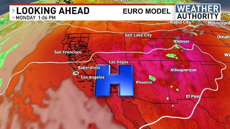
A Heat Advisory continues for the South Valley, the Kern River Valley and the mountains and an Extreme Heat Warning is active for the desert areas. Officially, both of these are set to go until Monday at 11 PM as of Sunday night but it doesn’t look like the heat will go anywhere for the time being, as the persistent high oscillates back and forth between the Colorado River and Kern County over the next couple of days. There are some indications that the ridge may center more toward Utah or the 4 Corners states later on in the week, but the numbers per the computer models look to change very little between now and then.
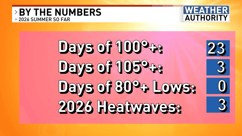
CONTINUED SUNNY AND DRY FOR NOW
The placement of the upper high is simply not allowing any monsoonal moisture into our area. As such, heat will continue under lots of sunshine. This will, however, lead to low humidity which means the mugginess factor won’t be there for this part of the world. The monsoonal window runs roughly from July to September. Consequently, since we are now in August we’ve already traversed a fraction of that period with generally nonsoon conditions, locally. Will the tide turn this month?
Chief Meteorologist Ilya Neyman