
Northern California forecast: Triple-digit heat returns along with a little monsoon moisture

Friday is off to a warmer start in Northern California as the marine layer becomes shallower.
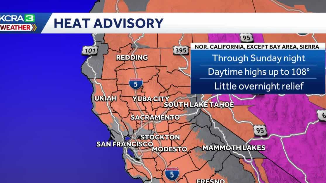
Building high pressure will push afternoon temperatures back into the triple digits, making Friday through Sunday KCRA 3 weather Impact Days for dangerous heat. The National Weather Service has also issued a Heat Advisory for much of Northern California, except for the Bay Area and Sierra, until Sunday night.
Fortunately, wildfire smoke has subsided, bringing much-improved air quality, which reads good to moderate for much of the region.
Meanwhile, high pressure centered near the Four Corners is drawing warm monsoon moisture into California. A few afternoon thunderstorms are possible in the Sierra through Sunday, mainly south of Highway 50, although a couple could develop near Tahoe. The added moisture will also make the Valley feel somewhat muggy through the weekend.
A trough arriving next week will push the high-pressure system away and bring cooler air into the region, returning temperatures closer to normal.
Looking ahead, this trough could deepen and produce additional mountain showers late next week or next weekend, but details remain uncertain. Forecast models continue to indicate that cooler weather will keep temperatures below triple digits into the next weekend.
See more coverage of top California stories here | Download our app | Subscribe to our morning newsletter | Find us on YouTube here and subscribe to our channel | Make KCRA a preferred news source in Google