
New UC research maps wildfire damage risk in California
 SALINAS, Calif. —
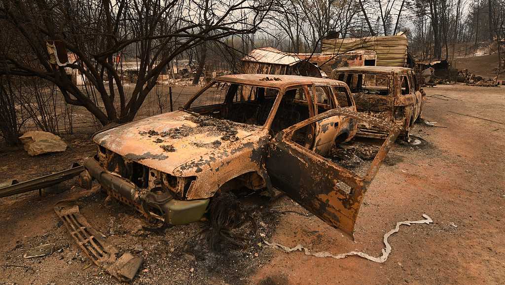
New research from the University of California, Irvine, found that wildfires follow predictable patterns of destruction and that key factors can often predict if a structure will burn during a wildfire.
The research analyzed 100,000 California Department of Forestry and Fire Protection inspection records from 2013 to 2024. They learned that during the 12-year study period, nearly 55,000 buildings were completely destroyed or partially damaged by fire and that 86 percent of those structures were in wildland-urban interface zones — nature meets development.
“We uncovered predictable features in how buildings are destroyed in California’s wildfires, which shows that the damage pattern is not random,” said lead author Dr. Somnath Bar, a UC Irvine postdoctoral scholar in civil and environmental engineering.
Risk factors
The research found several key risk factors for fire damage.
Tendency to build in wildland-urban interfaceBetween 2020-2022, more than 80% of new homes built in California were in high fire-risk areas. Building design and materials heighten risk Wooden fences, flammable siding, protruding eaves and vents
“Fire risk is compounded when these building practices come face to face with environmental factors like atmospheric aridity, high heat, wind, and dry fuels such as trees, shrubs and grasses,” said co-author Tirtha Banerjee, UC Irvine associate professor of civil and environmental engineering.
The maps can be used by insurance companies, planning departments and fire departments to better plan and research fire-risk areas.