
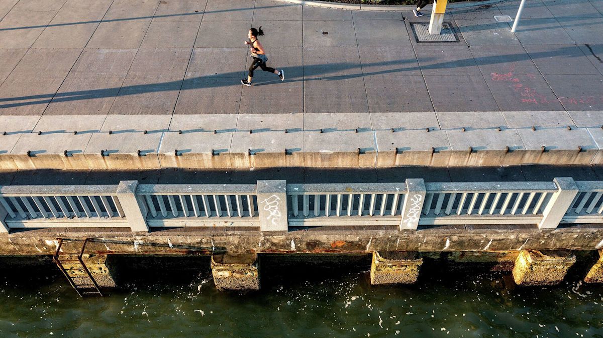
Raising the Ferry Building. Building levees along Mission Creek. “Living” sea walls that integrate with marine life.
San Francisco has a sprawling $17.8 billion plan to protect its waterfront against rising seas and earthquakes over the coming decades. But it will cost more and take longer than previously estimated, and it could be years before the megaproject gets federal approval.
The U.S. Army Corps of Engineers and the Port of San Francisco in late July released a final study and recommended plan for adapting a 7.5-mile stretch of waterfront – from Fisherman’s Wharf to south of Islais Creek – to coastal flooding and sea level rise of up to roughly 9 feet by 2140.
Without taking any action, sea level rise could cause roughly $23 billion in damage in San Francisco in about the next century, impacting 23,000 people and 3,400 jobs, according to the Port. The federal government may ultimately pay up to 65% of the project cost if approved, according to the Port.
But before the army corps will recommend the plan to congress, it needs further detail. The recommended plan is 20% complete, still short of the 35% level now required for federal projects. The Port said bringing the full 7.5-mile project design to that level would cost up to $400 million and take several years. Port staff are engaging with San Francisco’s Congressional delegation to advocate for a change or workaround to the rule.
But in the meantime, San Francisco plans to use local dollars, including bond money, to begin on the first parts of the project, said Brad Benson, waterfront resilience director for the port.
“People love the waterfront. This is a major opportunity to invest in the waterfront, to protect the inland areas – downtown San Francisco, Mission Bay – where all of our economic activity is happening,” he said.
The plan, which could take roughly 32 years to implement, includes raising the shoreline with seismically resilient structures, adapting historic waterfront buildings and wharves, floodproofing piers, incorporating nature features and adding stormwater management adaptations.
The historic Ferry Building, home to dozens of merchants and often the site of bustling crowds, will be raised about five feet to more than 15 feet above sea level, Benson said.
The Port recently hosted public workshops to solicit community feedback on the first three projects in the long-term plan. Benson said construction may begin in 2030 or 2031.
Two of the first projects are on either side of the Bay Bridge. One will improve flood and earthquake resilience between Broadway and Harrison streets by reconstructing the seawall, raising the shoreline and creating a new open space.
The second project will target the area between Harrison and Townsend streets, which face seismic risk and include some of the oldest wharves, according to the port.
Another project at Fisherman’s Wharf will include a new public plaza at the former Alioto’s Restaurant and improvements to the Inner Lagoon, plus long-term efforts to strengthen the seawall, replace wharves and improve fishing facilities.
The final plan comes about two years after the Port and Army Corps released a draft of the waterfront resilience plan in January 2024, soliciting feedback from the community.
The draft plan estimated the project would cost $13.5 billion in 2024, or roughly $14.7 billion in 2026 dollars, and take 14 years to implement. Construction and design cost estimates have since dropped by about half a billion dollars, according to the Port, but the total projected cost increased to $17.8 billion due to the soaring cost of real estate. During construction, the port would need to pay businesses to relocate.
Based on community feedback, engineers made multiple changes to the draft plan, including adding nearly 3 miles of natural features along the waterfront, robust coastal defense of the Ferry Building and elevating the Ferry Plaza, according to the Port.
Kristina Hill, a UC Berkeley professor in the College of Environmental Design, said reinforcing the Embarcadero with a sea wall is important not only to protect against sea level rise, but to address seismic risk. The ground in areas along the waterfront could liquefy in the event of an earthquake, sending buildings toppling and sand spilling into the Bay.
“It’s absolutely essential that we have a sea wall in San Francisco for the structural integrity of the buildings and infrastructure in an earthquake,” Hill said. “And the rest of it is really a conversation about how we learn to live with more water.”
Hill said she thought the plan underestimated the need for pumping ground and rain water back over the sea wall. She was also concerned that the plan was based on mid-range rather than intermediate or high sea-level rise estimates.
“I’m concerned that choosing the path for sea level rise that was most likely in 2022 is not the wisest move,” Hill said.
Subscribe
There’s more to San Francisco with the Chronicle. Subscribe today for just 25¢.
This article originally published at San Francisco’s $17.8 billion plan to save its waterfront hits new hurdles.