
It’s now a near certainty that this will be an El Niño Winter, and there’s about a 70% chance it will be the strongest one on record. But El Niño alone isn’t a guarantee of heavy winter rains in California; there are still other details and oscillations that can work against El Niño and keep us dry. That’s what happened during the very strong but relatively dry winter of 2015/16 – El Niño’s warm waters spread a little too far out in the Pacific, limiting it’s effectiveness in bringing big Winter storms to California. In California’s massively wet winters of 1982/83 and 1997/98, the heart of El Niño’s warm waters were centered further east, closer to South America, which is the sweet spot for big Winter storms to slam the Golden State.
The location of El Niño’s warm waters in the Pacific is just one of multiple things to consider when making a forecast. But let’s review first: what exactly IS El Niño? Simply put, El Niño is the warming of the equatorial Pacific Ocean near South America. That happens when the very steady easterly winds at the equatorial Pacific ocean shut down. For years, they’re very steady, always blowing towards the west. After a loooong while, the ocean begins to ‘pile up’ in the western Pacific, near the Philippines – a foot or two. Spread out over thousands of miles, it’s not really noticeable. But when those easterly winds suddenly stop, nothing is holding that water back anymore, and it sloshes back to the eastern Pacific, towards South America. Since it’s been on the Equator for a long time now, the strong sunshine has warmed that water up, and it’s a little warmer than the existing water of the east Pacific. This can now turbocharge existing storms coming into California (or wherever). Since warmer air can hold more water than colder air, warmer storms are wetter storms – which can lead to a good soaking in California. The warmer water was first noticed by fishermen off the coast of Peru a couple of hundred years ago – the warmer water usually meant fewer fish to catch. It’s usually first noticeable down there towards the end of Fall or early Winter. Since it often happens close to Christmas, which celebrates the birth of Jesus Christ, fishermen named it El Niño – The Boy.
We’ve had some spectacularly wet El Niño winters in California – California averaged 163% of it’s normal rainfall over the entire state during the winters of 1957/58, 1982/83, and 1997/98. But a very strong El Niño is still not a guarantee of a wet Winter -the Winters of 1965/66 and 1991/92 brought us below normal rainfall state-wide, despite very strong El Niño conditions being in place.
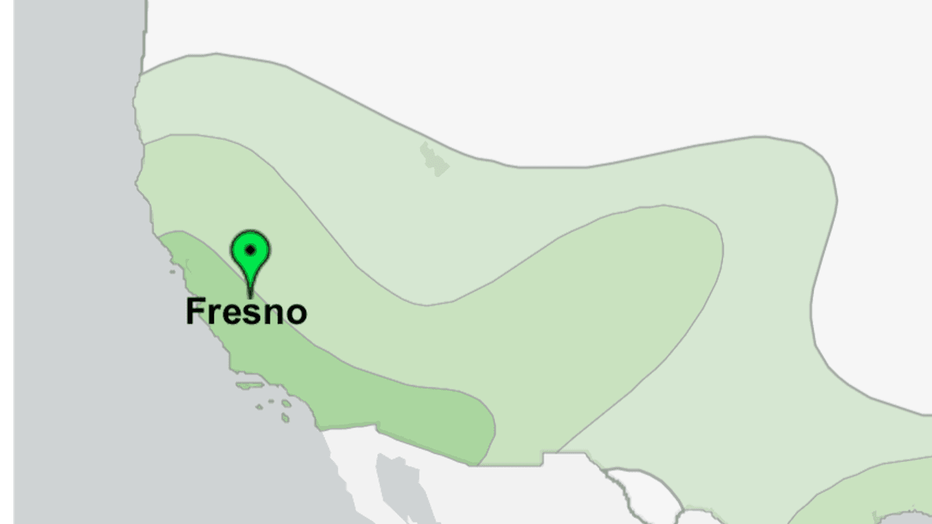
So, what’s it going to be this Winter? Well, long range climate models are starting to send a signal – they’re now showing this El Niño to be one where the warm water is centered in the far eastern Pacific Ocean, near the coast of South America. That would make it similar to the two famous El Niño’s that brought us SO much rain – 1982/83 and 1997/98. Models are showing that impacts won’t be in a hurry to reach us, so we may need a little patience here – but that was also the case in 1997/98. That winter, we saw near average rainfall in the Fall through Christmas of 1997, but near record rainfall from January through May. I don’t think we’ll see rainfall quite that extreme, but a similar pattern – an average or somewhat dry start to our rainy season, followed by a wet finish – is now looking more likely.
Consistency with these models will be key for the next couple of months – if they flip-flop on their solutions, we may go back to square one. But if they’re consistent, that leads to much higher confidence in their forecast.