
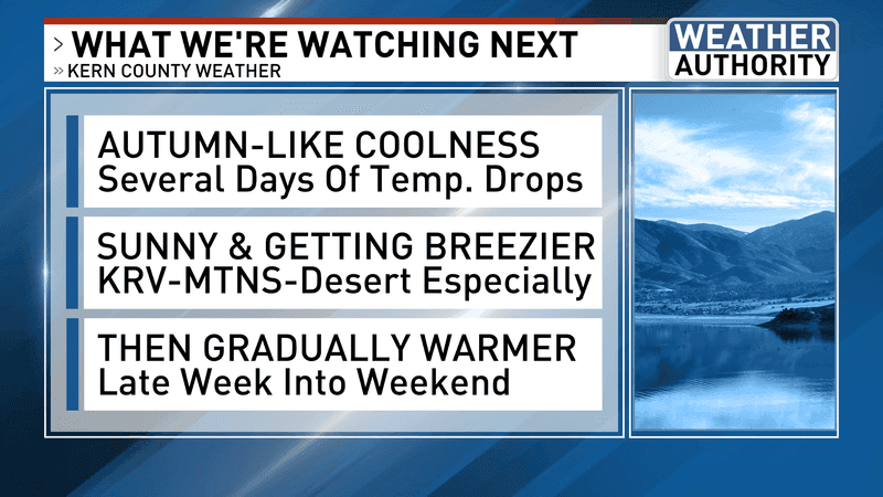
BAKERSFIELD, Calif. (KBAK/KBFX) — AUTUMN-LIKE COOLNESS
The weekend ended on an “average” note as Sunday’s high was 95, which is right at average for this time of year. A trough coming in from the far northeast Pacific will push into the Pacific Northwest and bring a very welcome cooldown to our area. By Wednesday South Valley highs should be in the low to mid 80s and mountain lows could be in the 40s. It will feel a lot like autumn as we move into September.
SUNNY & GETTING BREEZIER
As the upper trough swings through the northwestern US the westerly flow will increase the winds as it decreases the temps. The strongest winds will be from the Kern River Valley into the desert, and through the Highway 58 corridor including Tehachapi. Since the brunt of the systems should pass far to our north the sky should stay pretty sunny for several days.
GRADUALLY WARMER LATER IN THE WEEK
Some warmup is possible as we head into the latter part of the week, but even then highs may end up shy of average for a large part of Kern County, with our desert having the best chance of the highest readings, but even they may stay away from the hundreds!
LABOR DAY WEEKEND TO WATCH
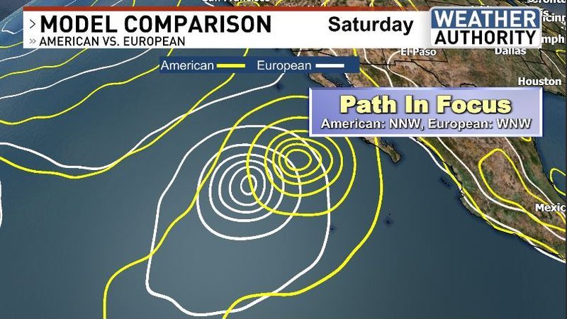
Finally, in what may be the most challenging part of the forecast…during what is already an incredibly active Pacific tropical system season, computer models have been honing in on what could be the most significant storm yet as it relates to the United States West Coast. While a forecast looking out a whole week is not a very reliable one, a growing meteorological model consensus seems to suggest a soon-to-form storm over the extremely warm waters of the Pacific off Mexico may have implications for the Golden State. As of this evening, a wide range of possibilities exist. While there is certainly a chance this all passes without fanfare, there is a growing likelihood that an interaction of incoming tropical moisture from the south with a north Pacific trough could pull in and squeeze out rainfall over the Labor Day weekend. There is also a non-zero chance of a more significant, and more direct impact from a tropical system somewhere along, or in the vicinity of California at that time. Right now, the timing of regionally impactful weather appears to be next Sunday to Monday, which is the Labor Day weekend. This could be Tropical Storm or Hurricane Marie.
Chief Meteorologist Ilya Neyman