
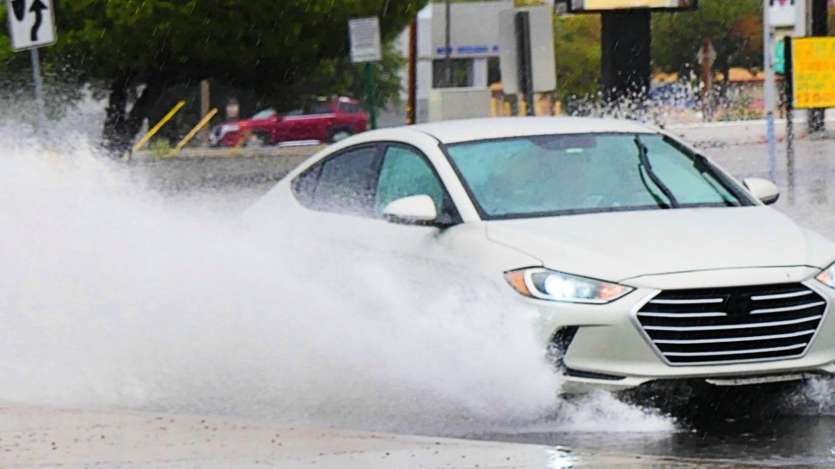
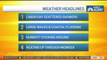
Scattered showers are in the Labor Day forecast after a day of steady rain that soaked Southern California.
Rain will taper off Monday, but the humidity ushered into the region by a tropical storm hundreds of miles off the coast will stick around, marking the start of a warm week.
Temperatures are expected to climb into the upper 80s and 90s in most inland areas of Los Angeles County with peak heat arriving Tuesday through Thursday and sending the mercury soaring into the upper 90s and triple digits in some areas. By Tuesday, most of Southern California will face moderate to major heat risks, including the Los Angeles basin.
“All of this are impacts from what was Hurricane Marie, now a tropical storm,” said NBC4 meteorologist Belen De Leon. “If you have any outdoor plans, make sure you bring an umbrella, especially for the first part of the day.”
Overnight lows will offer little relief with temperatures in the 70s and even the upper 70s Tuesday and Wednesday night.
Tropical storm Marie remained well offshore but sent considerable moisture toward the area on Sunday. Flooding was reported at parking lots in Seal Beach and Zuma Beach, and some ocean water flowed into coastline homes in Long Beach.
High surf caused flooding along the Seal Beach coast. Lauren Coronado reports for Today in LA on Monday Sept 7, 2026.
The Los Angeles County Department of Public Health issued an ocean water quality rain advisory for all LA County beaches until at least 2 p.m. Wednesday. Beach users were cautioned to avoid water contact for a least 72 hours after rainfall. Inexperienced swimmers to stay out of the water due to the rip currents.
A high surf advisory and coastal flood advisory will be in effect until 11 p.m. Tuesday for portions of the Los Angeles County and Orange County coasts. Large breaking waves of 6 to 10 feet for south and southwestern-facing beaches and 4 to 7 feet for west-facing beaches are expected, with strong and dangerous rip and longshore currents.
High tides will also increase through early next week and are expected to exceed 7 feet by Monday. The combination of elevated tides and the south swell will create a moderate risk of coastal flooding in some areas.
Coastal flooding is possible through the evening.
Marie is forecast to track northwest over the next several days while remaining well off the California coast.