
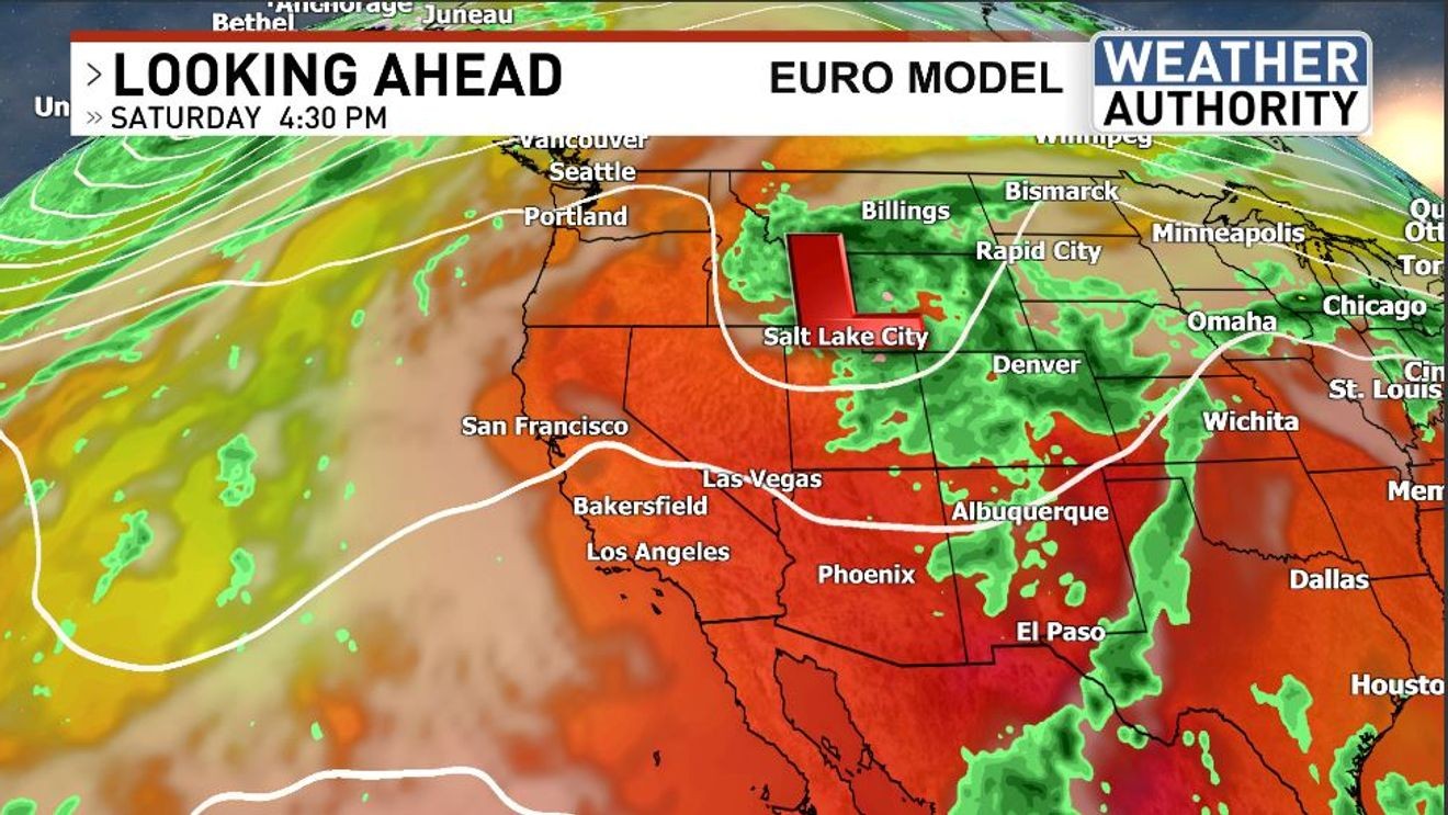
BAKERSFIELD, Calif. (KBAK/KBFX) — AUTUMN-LIKE OUT THERE!
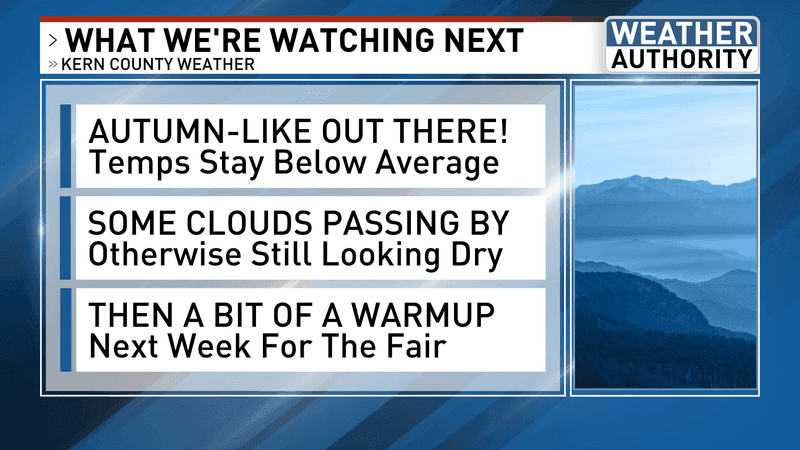
The week became much more autumn-like as the days went by, which made it very comfortable to enjoy the great outdoors of our region. If you want cold, we had some of that too! Lake of the Woods had a wake up temperature of 29 degrees on Thursday morning, which is a truly impressive reading for mid-September in Kern County.
The weekend could come in a bit warmer, but still either just shy or up to average, as a bit of a ridge works into our area.
SOME SUNDAY CLOUDS
A weather system, in the form of an upper-level low, is expected to move toward, and then across, our area Sunday to Monday. Right now, the most widespread impact from this continues to be some mid and high level clouds. However, some of the forecast charts do suggest there could also be some “elevated” instability. What that means is there could be a non-zero chance of some very “high-based” (meaning clouds that are high above the ground) showers and even thunderstorms materializing as that weather systems swings through. The “highest” chance of that appears to be over the mountains, up into the South Sierra and maybe out across the desert just to our east. However, this type of a situation could allow for activity to be even more widespread than currently indicated. This would be during the Sunday PM to Monday timeframe.
FAIR WEATHER?
Next week, that upward trend in temperatures is still in the forecast right in time for the Kern County Fair. That’s when local temperatures may pop back up into the above average category.
Chief Meteorologist Ilya Neyman