
NorCal forecast: Clouds and cooler air linger Monday
A weather system is slowly moving onto the West Coast, and continues to bring clouds, cool air and possible showers to the Sierra.
 SACRAMENTO, Calif. —
A weather system is slowly moving onto the West Coast, and continues to bring clouds, cool air and possible showers to the Sierra.
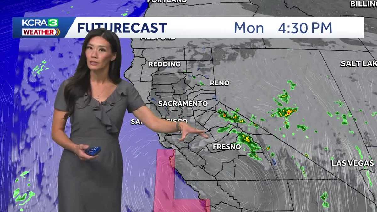
Skies will gradually clear during the afternoon as the system pushes the cloud cover east. As it moves over the Sierra, it could generate a few showers and thunderstorms. Most forecast models keep that activity south of the Tahoe Basin, although an isolated shower in and near the area remains possible.
Meanwhile, some breezy winds will pick up late afternoon and dinnertime.
A ridge of high pressure will build behind the system, sending temperatures back into the 90s Wednesday and Thursday as the fall season begins.
The summer-like weather doesn’t last for long; onshore breezes will strengthen late Thursday ahead of the next cooldown.
Temperatures are expected to return to the 80s this next weekend, along with more noticeable onshore breezes.