
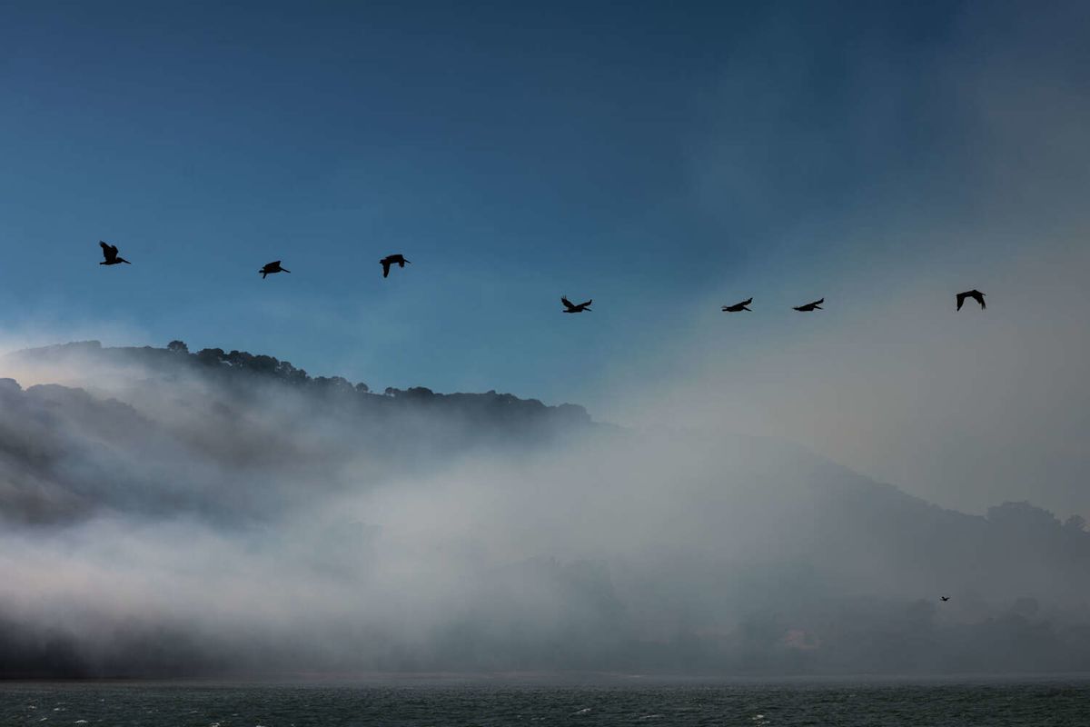
If you tried to enjoy the warm weather on Wednesday only to find the air outside smoky, there’s good news for today: San Francisco’s forecast is warm and free of fog and the prescribed burn on Angel Island that caused yesterday’s smoky conditions won’t continue on Thursday as planned.
“Due to changing conditions, there will be no further burning operations the remainder of this week,” Cal Fire’s Sonoma-Lake-Napa Unit said.
Skies will be mostly clear in the morning across the Bay Area. High clouds will increase in the late afternoon and evening, which could yield a colorful sunset.
High temperatures are forecast to range from the 60s at the coast to the 70s to mid-80s along the bay shoreline, and the mid-80s to low 90s inland.
Friday will be about 5 to 10 degrees cooler as an expanding marine layer brings morning fog back to cities along San Francisco Bay. Below-normal temperatures are expected this weekend as a low-pressure system crosses California and exposes the Bay Area to cool ocean winds.
Thursday breakdown
San Francisco: No fog is forecast. Highs will be in the 60s west of Twin Peaks, and the low to mid-70s to the east. Gusts up to 20 mph are expected in the afternoon. Overnight lows will be in the mid- to upper 50s, with increasing fog after midnight.
North Bay: Above-normal temperatures will continue under a mainly clear sky before high clouds increase in the evening. Temperatures will peak in the 80s across Wine Country, with a few 90-degree readings in northern Napa County and Alexander Valley in Sonoma County. Fairfield and Vacaville should also reach the 90s. Tiburon and Mill Valley will be in the 70s, and Pacific beaches will remain in the 60s. An afternoon sea breeze is expected to yield a considerable cooldown in the evening, though it will not be accompanied by fog. Overnight lows will be in the mid- to upper 50s.
East Bay: Another warm, sunny day is expected, with no fog. Highs will top out in the 70s from Richmond to Alameda, and the low to mid-80s in Hayward and Fremont. Lamorinda should reach the upper 80s, with low 90s expected in Concord, Livermore and Antioch. Gusts up to 20 mph are expected in the afternoon. High clouds will increase in the evening, with patchy fog holding off until after midnight. Lows will be in the upper 50s.
Pacific Coast and Peninsula: No fog is expected in San Mateo County, even at the beaches. Highs will be in the mid- to upper 60s in Daly City, Pacifica and Half Moon Bay. Low to mid-70s are expected in South San Francisco and San Bruno, with upper 70s to low 80s in San Mateo and Redwood City. Gusts of 15 to 25 mph are expected in the afternoon. High clouds will increase in the evening, with mainly clear skies until after midnight. Patchy fog is expected to form by sunrise Friday.
South Bay and Santa Cruz: Above-normal temperatures will persist in Santa Clara and Santa Cruz counties. Highs will be in the upper 70s to low 80s in Milpitas, Santa Clara, Mountain View and Sunnyvale, the low to mid-80s in Santa Cruz and San Jose and the upper 80s to low 90s in Gilroy, Morgan Hill, Ben Lomond and Boulder Creek. Mainly sunny skies will give way to increasing high clouds around sunset. Overnight lows will be in the upper 50s to low 60s.
Subscribe
There’s more to San Francisco with the Chronicle. Subscribe today for just 25¢.
This article originally published at S.F. spared another smoky day as prescribed burn is called off.