
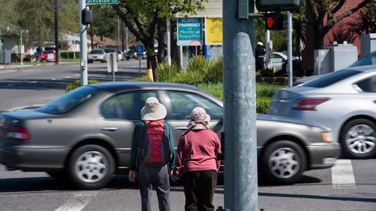
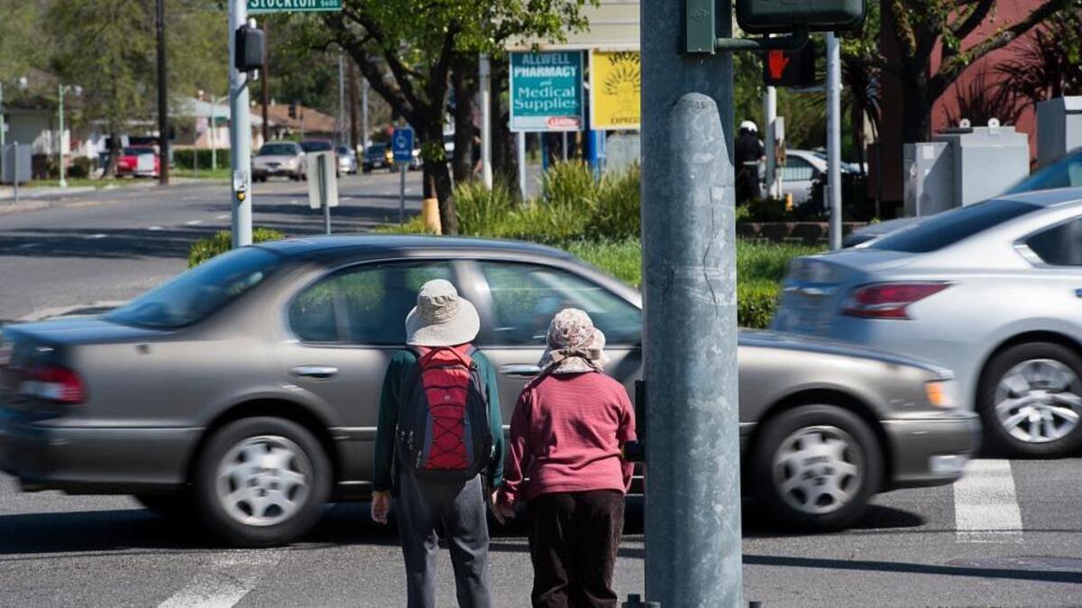
Pedestrians wait to cross Stockton Boulevard at Fruitridge Road in Sacramento in 2016. The intersection is among 20 the city wants to study for potential safety improvements using state grant funding.
Paul Kitagaki Jr.
Sacramento Bee file
The city of Sacramento is moving forward with two projects related to its effort to eliminate serious traffic collisions, using crash data that is about a decade newer than the data it previously relied on for such grant applications.
The city is set to submit its first transportation grant applications that use data from the new Vision Zero draft action plan — updated from the 2018 plan — that was made publicly available earlier this year.
The City Council on Tuesday authorized the city to submit two projects for Caltrans Sustainable Transportation Planning Grants. The projects involve studies and planning for 20 high-injury Sacramento intersections and three city corridors.
Both projects include the phrase “Vision Zero” in their titles, a reference to the city’s 2017 Vision Zero pledge to eliminate traffic deaths and serious injuries on Sacramento streets within 10 years.
“(This) helps demonstrate how the city is taking a systemic and comprehensive approach to transportation safety,” said city spokesperson Gabby Miller.
The projects
One of the projects approved for grant submission was the Top 20 Vision Zero Intersection Improvements Study.
This planning study stems from the city’s high-injury network, a group of roads that have the highest number of serious injury and fatal crashes. This network, which comprises 14% of city streets where 75% of crashes occur, was updated in the new Vision Zero action plan.
The new plan also identified that 81% of crashes in the city occur within 150 feet of an intersection.
If awarded funding, staff would evaluate and develop potential improvements for the 20 intersections within the high-injury network that have seen the highest number of crashes, according to a staff report. These intersections include Del Paso Boulevard and Evergreen Street in the South Hagginwood neighborhood; Fruitridge Road and Stockton Boulevard on the border of the Lawrence Park and Fruitridge Manor neighborhoods; and Truxel Road and Arena Boulevard on the edge of the Natomas Crossing neighborhood.
According to the staff report, the study would evaluate crash patterns and identify the road users most frequently involved in crashes to help develop improvements. Staff would then evaluate the feasibility of the proposed improvements, identify opportunities for quick-build projects and complete 30% of the improvement design.
The Sacramento Vision Zero Corridors Mobility and Safety Study is the second project that will be submitted for the Caltrans grant.
This study will focus on three of the 10 corridors that the city identified as priorities based on crash data. The three roads are 16th Street between A and Q streets; J Street between 13th and 19th streets; and Truxel Road from Arena Boulevard to the Interstate 80 overpass.
These corridors were selected based on crash data and development planned or underway in surrounding areas, according to the staff report.
The corridors would undergo an analysis similar to the one planned for the intersections.
The city is seeking up to $700,000 for each project, with about $100,000 in city matching funds set aside for each. Applications for the grants are due Oct. 9.
According to the staff report, pursuing the grants will “allow the city to address safety needs on newly identified high-priority corridors while also supporting mobility, sustainability, housing growth, and economic development in both the Central City and North Natomas.”
The city will find out in spring 2027 whether it has been awarded any funds.
The data
Sacramento’s applications for the Caltrans Sustainable Transportation Planning grants are the first to include data from the 2026 Vision Zero draft action plan, Miller said.
The draft plan, which uses data from 2014 through 2025, was posted in June. Two months later, applications for the Caltrans grants opened.
The 2026 draft action plan is an update to the city’s initial Vision Zero plan, which used data from 2009 to 2015. Since about 2018, the Department of Public Works has relied on the initial plan and its data when applying for competitive state and federal grants, which are a primary source of funding for city transportation projects.
Caltrans is asking applicants for this grant to answer the question, “Why is it critical to address the problem now?” according to this year’s application guide.
“Make the case for a critical need that the project will address and support it with verifiable data, if available,” another portion of the guide says.
City staff determined the two projects would be competitive for the grant program after reviewing the program criteria and city priorities, according to the staff report. The updated Vision Zero data will be available to support the applications.
“This is the first opportunity city staff have had to cite the new Vision Zero data,” Miller said.
Miller said the projects are “expected to directly benefit the multimodal transportation system while also improving public health, social equity, environmental justice, the environment and providing other important community benefits.”
Related Stories from Sacramento Bee

The Sacramento Bee
Madison Smalstig covers transportation for The Sacramento Bee. Before joining The Bee, she reported on breaking news, focusing on crime and public safety, in the North Bay for three years. Smalstig is a born and raised Hoosier and earned degrees in journalism and Spanish at Indiana University.