
Tuesday is expected to be the last warm day of the week for the valleys west of the mountains as a storm system makes its way to Southern California, the National Weather Service said.
The low-pressure system from the Northwest will bring showers late Thursday through Friday, with another round of more significant showers possible on Saturday, and another chance of showers early next week, the NWS said.
The expected rainfall for Thursday through Saturday is expected to range from 1.25 to 1.5 inches near the coast to 1.5 to 2.5 inches in the mountains. For the deserts, amounts range from one-half to one inch.
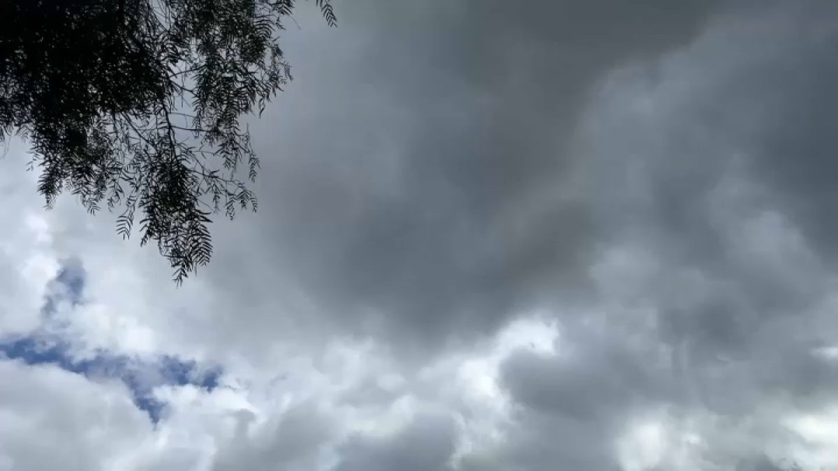
Who ordered the rain?👀 An incoming system will bring measurable rainfall to potentially the entire region late this week. Precipitation will begin as early as Thursday, increasing Friday. Note: higher terrain, generally above 6000ft, will see snowfall Friday and Saturday. pic.twitter.com/rG2XqeX1wY
— NWS San Diego (@NWSSanDiego) November 11, 2025
From Tuesday to Friday, temperatures will drop about 20 degrees, according to the NWS. Temperatures will fall into the 60s for the coast and inland valleys by the end of the week with the incoming rain.
Tuesday temperatures:
Coast: AM dense fog, then mostly cloudy – mid 70s
Inland: mostly to partly cloudy – mid 80s
Mountains: clouds & sun – mid to upper 70s
Deserts: mostly sunny – near 90