
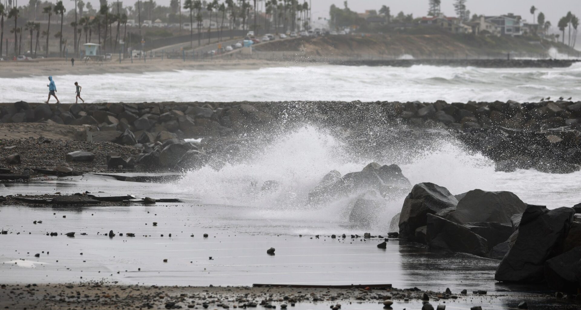
As San Diego County begins to dry out from the first major storm of the rainy season, the coast will continue to be pounded by a combination of high tides and big waves generated by Tropical Storm Rachel.
A coastal flood advisory remains in effect through Tuesday afternoon, with particular attention paid to peak high tide Tuesday between 10 a.m. and 11 a.m., according to the National Weather Service.
Rachel and another smaller system dumped rain across the region beginning Saturday — 1.04 inches at San Diego International Airport, 1.93 inches in Carlsbad and 2 to 3 inches in many inland and backcountry areas, according to three-day totals. Still, it was the crushing waves combined with high tides along the coast that made the storm especially dramatic.
“We knew this was coming,” said Paul Steward, a meteorologist with the National Weather Service. “But I was taken aback a little bit by the seas being higher than predicted. That kind of shocked me when I saw that.”
Experts are predicting a wet winter as an El Niño weather pattern — marked by warm sea surface temperatures — settles in.
“This is just a prelude of what’s to come, maybe,” Steward said.
Scattered showers are possible through Tuesday morning, then the region will dry out.
Gusty Santa Ana winds are expected later this week, with temperatures climbing into the upper 80s and low 90s at the coast.
Next week could bring another cool-off, and the possibility of another storm system, Steward said.