
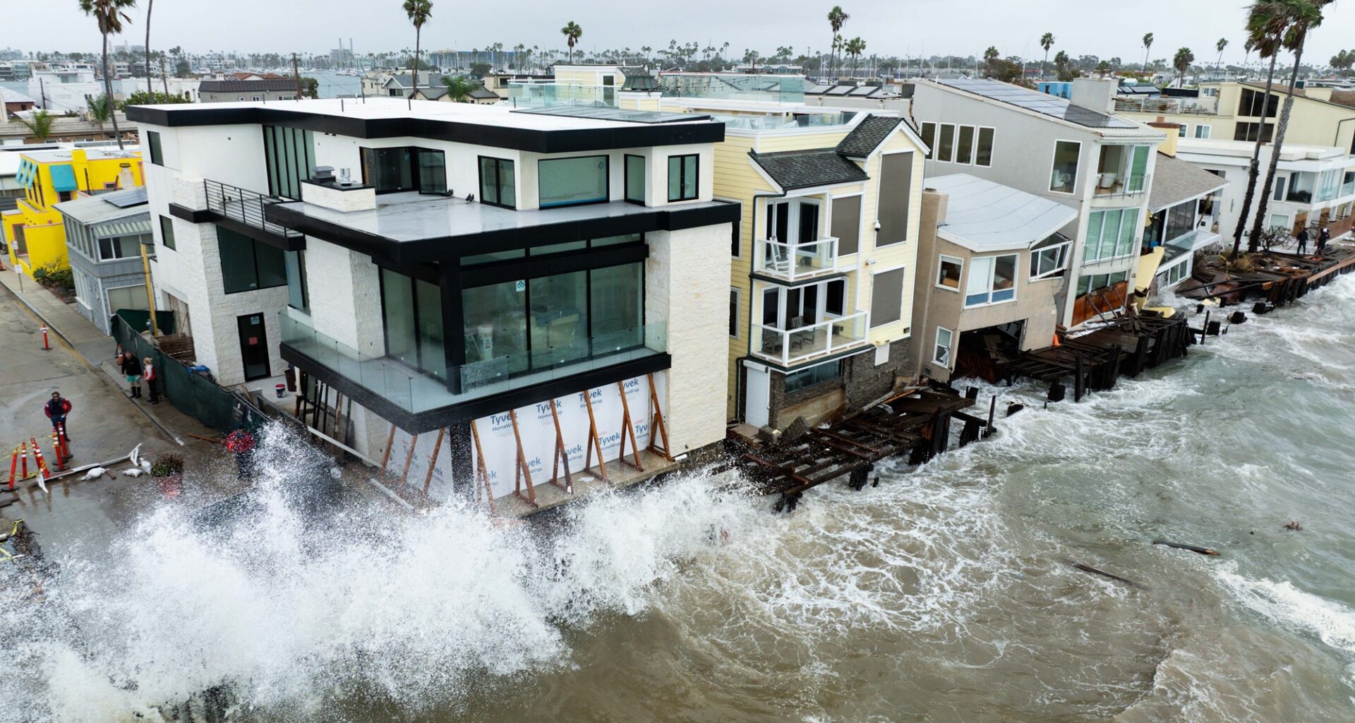
As El Niño continues to strengthen, scientists warn that California could face a winter of intense storms, heavy rain and coastal flooding.
Oct 13, 2026
Updated 4:34 pm PT
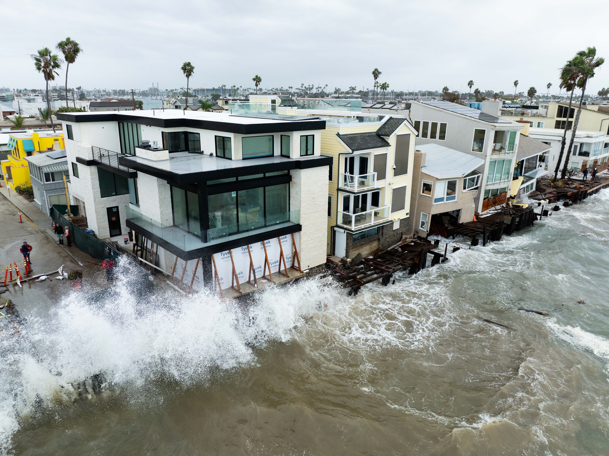
A drone photograph of waves crashing against E. Seaside Walk at Peninsula on Sunday, Oct. 11, 2026, in Long Beach, California. A climate scientist said California faces rising odds of a very wet winter as El Niño gains strength in the Pacific. (Kayla Bartkowski/Los Angeles Times via Getty Images)
The odds of an unusually wet winter in the Bay Area are rising as El Niño continues to strengthen, according to climate scientist Daniel Swain.
The UC Agriculture and Natural Resources researcher said that statewide, there’s a “90% to 95% confidence in a wetter-than-average winter,” with the biggest spike most likely to come in January and February.
“It’s walking like an El Niño, and it’s talking like an El Niño,” Swain said during a virtual office hours session on Tuesday. “So far, it is all systems go.”
Swain’s “high-key level takeaway” is that October El Niño updates show the likelihood of California-related impacts increasing “from already pretty high confidence” in September.
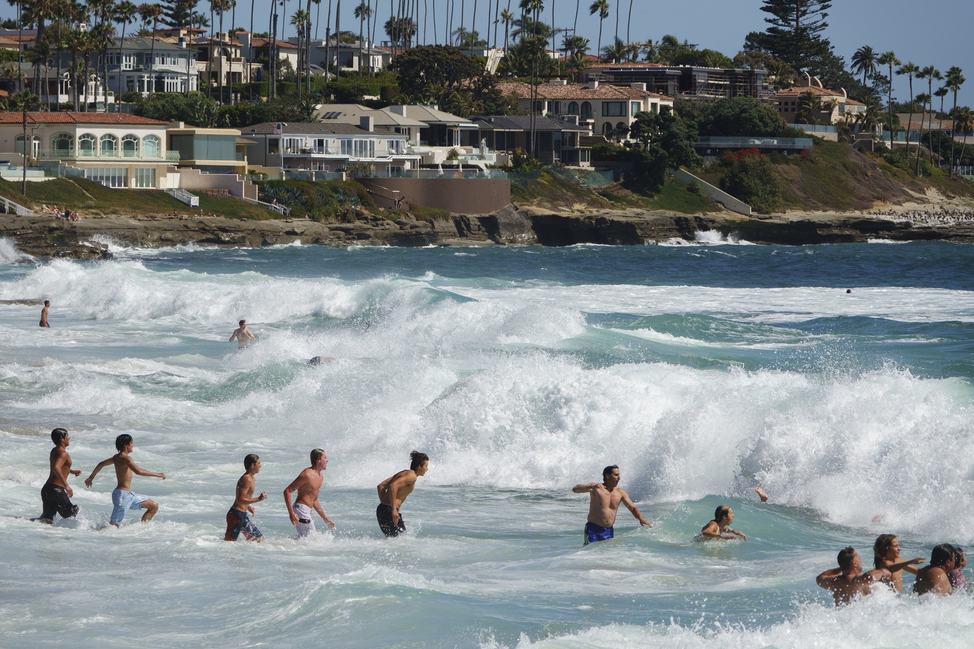 Visitors navigate breaking waves along the coastline of Windansea Beach in La Jolla on June 20, 2026, in San Diego, California. The National Weather Service issued a beach hazard statement for elevated surf and high risk for rip currents. (Kevin Carter/Getty Images)
Swain said all 10 of the major models “are singing roughly the same tune” about precipitation possibilities.
“The Bay Area and the North Bay in particular, all the watersheds there, are more likely to see very wet conditions this winter than not,” Swain said.
In his most recent blog post, Swain said that El Niño will likely strengthen for up to two months before peaking between November and January. But he said that impacts are often delayed to “the peak intensity” of El Niño itself, and “This is likely to be true in California.
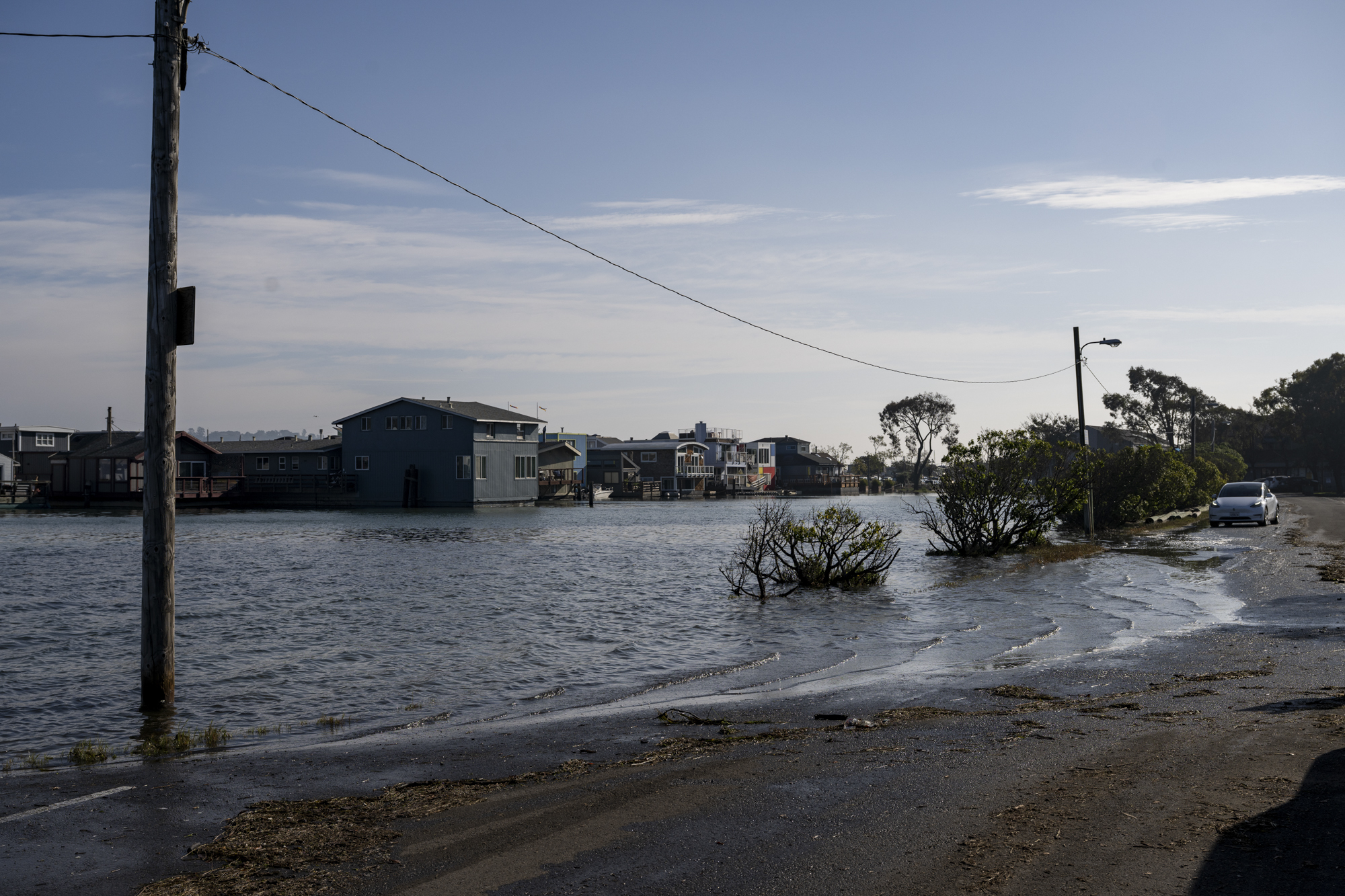 Flooding near the Kappa Marina floating home community in Sausalito on Dec. 4, 2025, during a king tide event.
El Niño also produces massive Kelvin waves — when tropical trade winds slow or reverse. Swain said they have “completely reversed direction” — allowing warm water to push toward South America.
That water splits north and south when it hits land. A Kelvin wave has already swept along the coast, raising sea levels by more than a foot, along with thermal expansion also caused by El Niño. Another coastally trapped wave is also moving up the coast, but won’t reach California for around three weeks.
Swain is worried that major flooding could occur later this winter with king tides during Thanksgiving week and Christmas.
“This could be a big problem with disruption of transportation on major highways and interstates throughout California that run through low-lying coastal areas,” Swain said. “If there’s a major storm, we could see major or even record-breaking coastal flooding, and it wouldn’t even take an extreme storm.”