
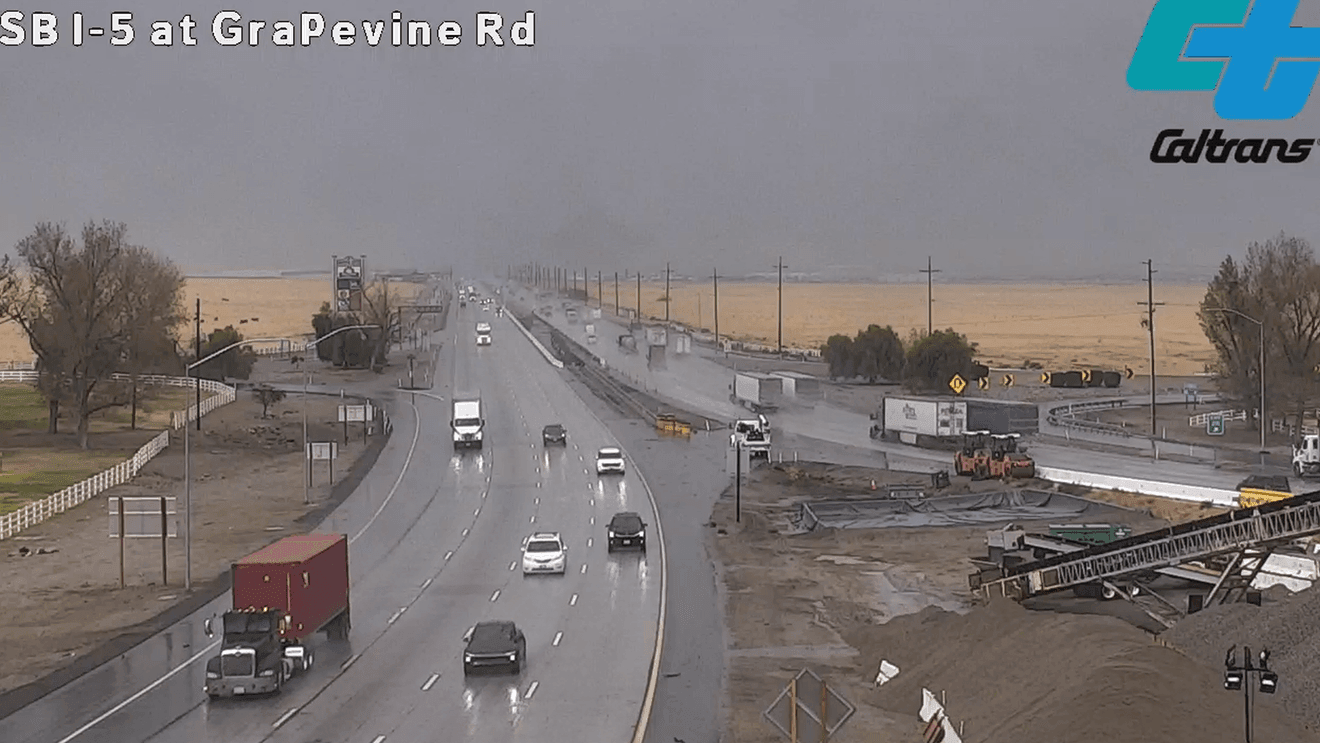
Kern County could see a more active weather pattern this winter as El Niño continues to develop, though forecasters caution that the pattern does not guarantee a wet season.
Chief Meteorologist Ilya Neyman said El Niño begins with warmer-than-normal water in the equatorial Pacific Ocean. While that warming takes place thousands of miles away, it can still influence the position of storm tracks and the kind of weather California sees during the winter.
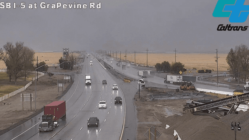
Weather in Kern County on October 21, 2026. PHOTO: Caltrans
“Well, El Niño means the warming of the equatorial Pacific Ocean west of South America, and that’s many thousands of miles away, but that can have an effect on Kern County in the form of changing the storm tracks and potentially leading to more active and more stormy weather during the winter season,” Neyman said.
Past El Niño winters have not all looked the same. Neyman said some strong events have brought periods of heavy rain and flooding to parts of California, while others have produced far less significant impacts.
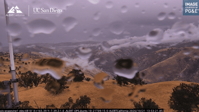
AlertCalifornia camera overlooking Kern County on October 21, 2026. PHOTO: AlertCalifornia
That uncertainty is one reason local residents are being encouraged to prepare before storms arrive.
In Bear Valley Springs, residents have been stopping by the Community Services District office to pick up sandbags. Ben Chavez said he wanted to have some on hand not only for his own home, but also for older neighbors who may need help later.
“I just don’t want to get my house flooded, and we got a lot of neighbors and stuff that are older… if they need them, I’ll have them and they can get them and they don’t have to come out in the middle of the night to get them,” Chavez said.
Preparation in Bakersfield may look different. Residents can check drainage around their homes, address leaky roofs, keep an eye on low-lying roads and monitor forecasts when stronger storms are expected.
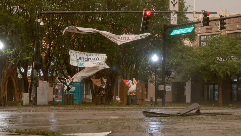
PENSACOLA, FLORIDA – OCTOBER 09: Debris is seen in an intersection as wind and rain from Hurricane Isaias pass through the area on October 09, 2026, in Pensacola, Florida. Hurricane Isaias is in the Gulf of Mexico as the season’s first Atlantic hurricane. It is projected to make landfall along the northern U.S. Gulf Coast as a category two hurricane. (Photo by Joe Raedle/Getty Images)
Neyman said Southern California often sees the strongest El Niño influence during the heart of winter, particularly from December through February.
While it is still too early to know exactly how this winter will unfold, forecasters say preparing for potential weather impacts now can make a difference if a wetter pattern develops.