
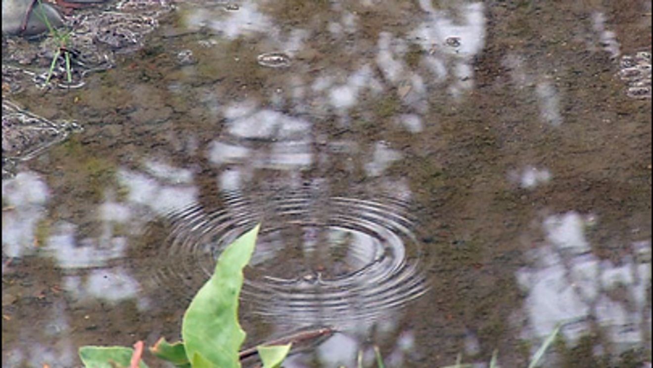
BAKERSFIELD, Calif. (KBAK/KBFX) — We’re closing out one month and entering another on the wet side around Kern County.
An autumn storm from the North Pacific, combined with a southern stream system from a strong subtropical jet stream, is moving in from the West Coast into the Desert Southwest.
Recent heavy rains across Arizona and surrounding regions are leading to a high likelihood of flooding, as the desert soil will have a hard time absorbing any additional moisture. The 4 corners region has already picked up record-breaking-rain as successive rounds of rain and thunderstorms due to repeated tropical system impacts have definitely made their mark in this part of the world. This weekend, the moisture source is a combination of tropical (from former Hurricane Vance) and subtropical (from an atmospheric river coming out of Hawaii).
Closer to home, our most recent system will bring about the greatest chance of additional rainfall early on in the day, with drier air and quieter weather becoming more likely later.
How does what we are seeing locally and beyond relate to El Nino? Check out The Footsteps of El Nino: Undeniably Loud and Clear – YouTube hot off the press!
Chief Meteorologist Ilya Neyman