
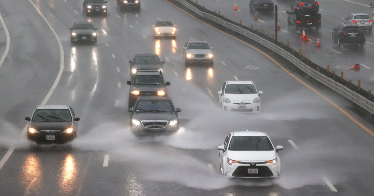
A powerful atmospheric river was sweeping across Northern California on Thursday, bringing widespread rain, gusty winds, and high-elevation snow to the Sacramento region, forecasters said.
The National Weather Service said rainfall totals are expected to range from 1 to 2 inches in the Sacramento Valley and up to 2 to 4 inches in the northern Valley and nearby terrain, with heavier amounts possible in the foothills and mountains.
A wind advisory was in effect for the Valley and Sacramento Delta, Northeast Foothills and Northern San Joaquin Valley until 6 p.m. Thursday, with sustained winds up to 25 mph and gusts in the 50 mph range.
First Alert Weather: Current conditions, alerts, maps for your area
Meanwhile, snow levels were currently expected to hold above 8,000 feet through Thursday evening, then drop to the 6,500-7,500‐foot range late Thursday night into Friday morning, the Weather Service said. A winter weather advisory was in effect from 4 p.m. along the west slope of the Northern Sierra Nevada Thursday through 7 a.m. Friday for elevations above 7,000 feet.
Total snow accumulations will range from 3 to 8 inches south of U.S. Highway 50, with 12 to 18 inches at the highest peaks, the advisory said, with winds gusting as high as 50 mph. In the southern end of the Upper Sierra, including Yosemite National Park, a winter storm warning was in effect until 10 a.m. Friday. Snow of 6 to 12 inches of snow is expected above 8,000 feet along with wind gusts of up to 40 mph.
By Thursday afternoon in the Sacramento Valley, scattered thunderstorms are possible as the main frontal band moves through. The Weather Service said beyond Friday, the area could see a few light showers Saturday into Sunday morning, mainly south of Interstate Highway 80.
A potential second round of rain could arrive by Sunday afternoon, lasting into early next week, and the Weather Service said snow levels could lower to 5,500-6,500 feet by Monday morning.
Residents and travelers in the Sacramento region were urged to prepare for reduced visibility on wet roads, possible gusty wind impacts, and hazardous mountain travel. Conditions in the Sierra could become dangerous late Thursday into Friday, especially for high-elevation routes.