
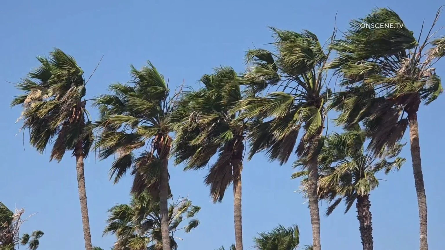
Santa Ana winds will increase Friday across Southern California, bringing warmer, drier conditions and elevated fire danger ahead of a Red Flag Warning scheduled to take effect Saturday in wind-prone parts of Los Angeles County.
The warning will be in effect from 2 a.m. to 6 p.m. Saturday for the Santa Clarita Valley, Santa Monica Mountains, Santa Susana Mountains and western San Gabriel Mountains, including the Highway 14 corridor.
Northeast winds of 20 to 30 mph, with gusts to 45 mph and isolated gusts of 45 to 55 mph, are expected in the warning area. Relative humidity is forecast to fall to between 8% and 20%.
“Fuels remain critically dry despite some minor greenup from recent rains,” forecasters said. “There is a high risk for fast-moving fires where the plants are driest and the winds are strongest, which this targeted Red Flag Warning addresses.”
The weather service said there is a 20% to 30% chance of advisory-level Santa Ana winds Friday and a 50% to 70% chance Saturday and Sunday.
A combination of offshore flow and high pressure will bring a warming trend through the weekend. Temperatures in Los Angeles County are expected to reach the upper 70s and 80s in coastal and valley areas Saturday, with many locations running 5 to 10 degrees above normal Saturday and Sunday.
In Orange County, offshore flow will strengthen Friday and Saturday, bringing weak-to-moderate Santa Ana winds. Wind-prone areas could see gusts of 25 to 40 mph Saturday, with a 10% chance of gusts between 35 and 50 mph, forecasters said.
High temperatures in Orange County are expected to climb into the low and mid-80s Friday and the mid- to upper 80s over the weekend. Humidity could fall into the teens in some valleys, forecasters said.
Warmer and drier weather is expected through Sunday, the NWS said.
The offshore flow is expected to weaken through Tuesday, followed by a gradual cooling trend. Temperatures are expected to remain above normal through Wednesday.
A Beach Hazards Statement is in effect through Tuesday morning for Catalina Island, the Malibu coast and Los Angeles County beaches. Dangerous rip currents and breaking waves of up to 4 to 6 feet are expected.
High tides will build each morning and peak Sunday and Monday at 7.2 to 7.6 feet. The weather service warned of an increased risk of ocean drowning, along with dangerous conditions near rock jetties, beach erosion and coastal flooding.
Surf and coastal flooding impacts are expected to peak Monday.