
The Sacramento area was mostly drying out Friday as residents were seeing a mix of cool weather, clouds, and scattered showers ahead of another round of wet weather, with changing conditions extending into the Sierra Nevada, forecasters said.
The National Weather Service said a series of weak storms began drifting into Northern California late Thursday, bringing cloudy skies to Sacramento and chances of rain on Friday. Highs on Friday were anticipated to reach the low 60s, with overnight lows dipping into the upper 40s. Rain totals for Friday were expected to be light, with most valley locations receiving around 0.1 to 0.25 inches before showers taper off early Saturday morning.
First Alert Weather: Current conditions, alerts, maps for your area
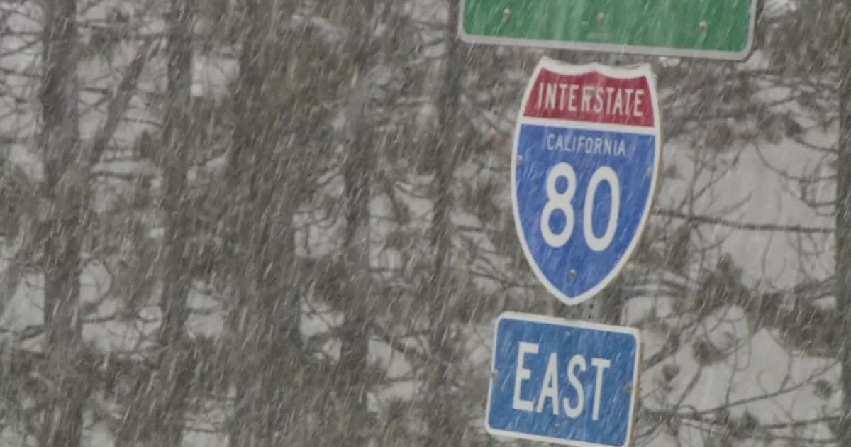
Meanwhile, the Sierra Nevada will experience more pronounced effects from the storm system. A winter weather advisory was in effect until noon Friday for the Greater Lake Tahoe area, with wet snow above 8,000 feet. Snow accumulations were expected up to 4 inches above 8,000 feet and up to 2 inches between 7,500 and 8,000 feet, the Weather Service said. Winds were gusting up to 25 mph in Sierra valleys, and as high as 40 mph in upper elevations.
Snow levels are expected to remain high initially, ranging from 7,000 to 7,500 feet on Friday, but are forecast to gradually fall to around 6,500 feet by Saturday morning. This will result in rain across lower elevations and potential snowfall above the passes. The Weather Service projects 1 to 4 inches of new snow across higher elevations, mainly Friday night into Saturday morning. Travel through Donner Pass and Echo Summit may be briefly impacted by slush and minor accumulation, especially at night.
Motorists heading into the mountains should monitor forecasts for updated advisories. Gusty winds and freeze-thaw conditions are expected above 7,000 feet, increasing the risk of tree branches falling and localized visibility reductions.
The weekend forecast for the Sacramento Valley calls for partly cloudy skies on Saturday with temperatures near 60 degrees, followed by a return of cool and mostly dry weather on Sunday. Rain chances will linger through early Saturday, but most precipitation will clear out by midday. Sacramento could see around 0.15 inches of rainfall for the entire event, keeping street flooding risks minimal compared to earlier storms in the week.
Through Saturday, most precipitation will remain light across the region. The Weather Service said Sunday will see increased cloud cover and renewed chances for sprinkles or brief showers, although heavier, widespread rain is expected until late Sunday into Monday.
By Monday morning, a new storm system will bring steadier rain over the Sacramento Valley and continued wet weather into Monday afternoon.