
Parts of the Jersey Shore recorded the highest flood levels since Hurricane Sandy when waters along the Barnegat Bay hit ‘major’ flood status during this weekend’s nor’easter.
Two other locations either hit major flood status or came within an eighth of an inch of it, according to recent data. Many other places also had moderate flooding on Sunday and Monday as water levels continued to recede on Tuesday morning.
The Barnegat Bay at Waretown climbed to major flood stage of 4.1 feet for about 90 minutes on Monday afternoon — from just before 4 p.m. to 5:30 p.m — according to National Weather Service data. It peaked at 4.21 feet.
The Waretown gauge has only been in place for about four years, having been installed well after Sandy battered the Jersey Shore in October 2012.
Across the bay in Barnegat Light on Long Beach Island, the water reached 4.9 feet, the most since it crested at 6.39 feet during Sandy, the weather service said.
By comparison, the water level peaked at 4.67 feet when Hurricane Erin passed hundreds of miles off the Jersey Shore in August 2025.
The other notable flooding spot during the nor’easter was the Little Egg Harbor in Tuckerton, which landed just a mere eighth of an inch below major flooding. The water level peaked at 6.39 feet at 2:54 p.m, Monday. Major flood stage is 6.4 feet, according to the weather service.
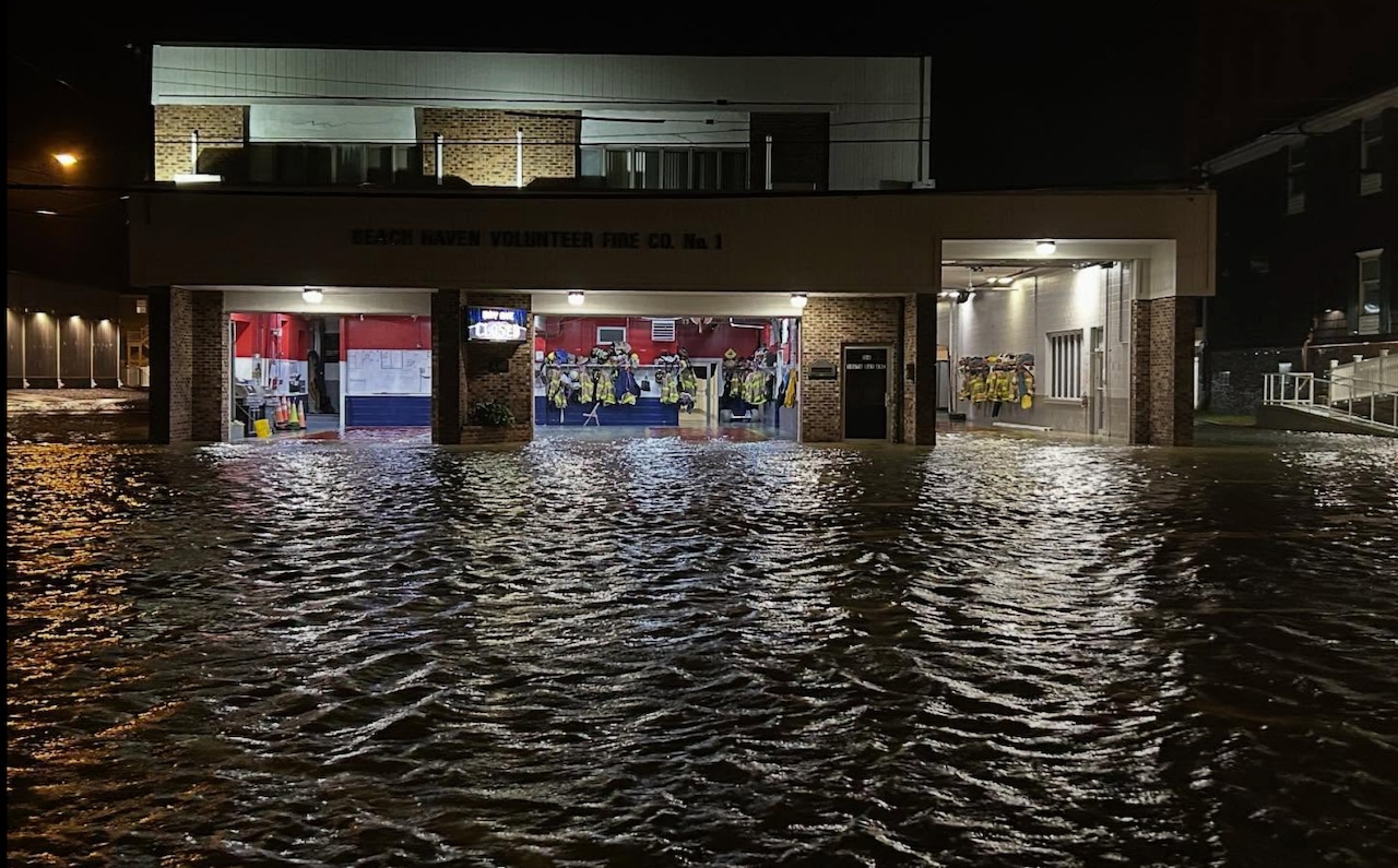
On Long Beach Island, photos show streets filled with water during the afternoon high tide.
While there have been plenty of coastal storms in recent years, the storm that lashed the state Sunday and Monday had significant flooding for two main reasons, according to weather service meteorologist Alex Staarman.
One was astronomical tides and the other was gusty winds out of the northeast that never shifted to northwesterly, as often occurs. There were widespread wind gusts of more than 50 mph along the Jersey Shore, with a handful of readings of more than 60 mph.
“We have had coastal storms since Sandy, obviously, but to get sustained onshore gales for that long of a period is kind of unusual,” Staarman said Tuesday morning. “Factoring in the astronomical tides and basically two straight days of sustained gale force winds, that’s what really caused a lot of the storm surge to really escalate over the course of 48 hours.”
Staarman said that shifting northeasterly winds usually help drain the back bays after storms, but widespread minor flooding is likely on Tuesday with winds still blowing out of the north. Gust of 25 to 30 mph are expected along the coast.


1/19
Nor’easter brings flooding, winds, power outages to N.J.
If you purchase a product or register for an account through a link on our site, we may receive compensation. By using this site, you consent to our User Agreement and agree that your clicks, interactions, and personal information may be collected, recorded, and/or stored by us and social media and other third-party partners in accordance with our Privacy Policy.