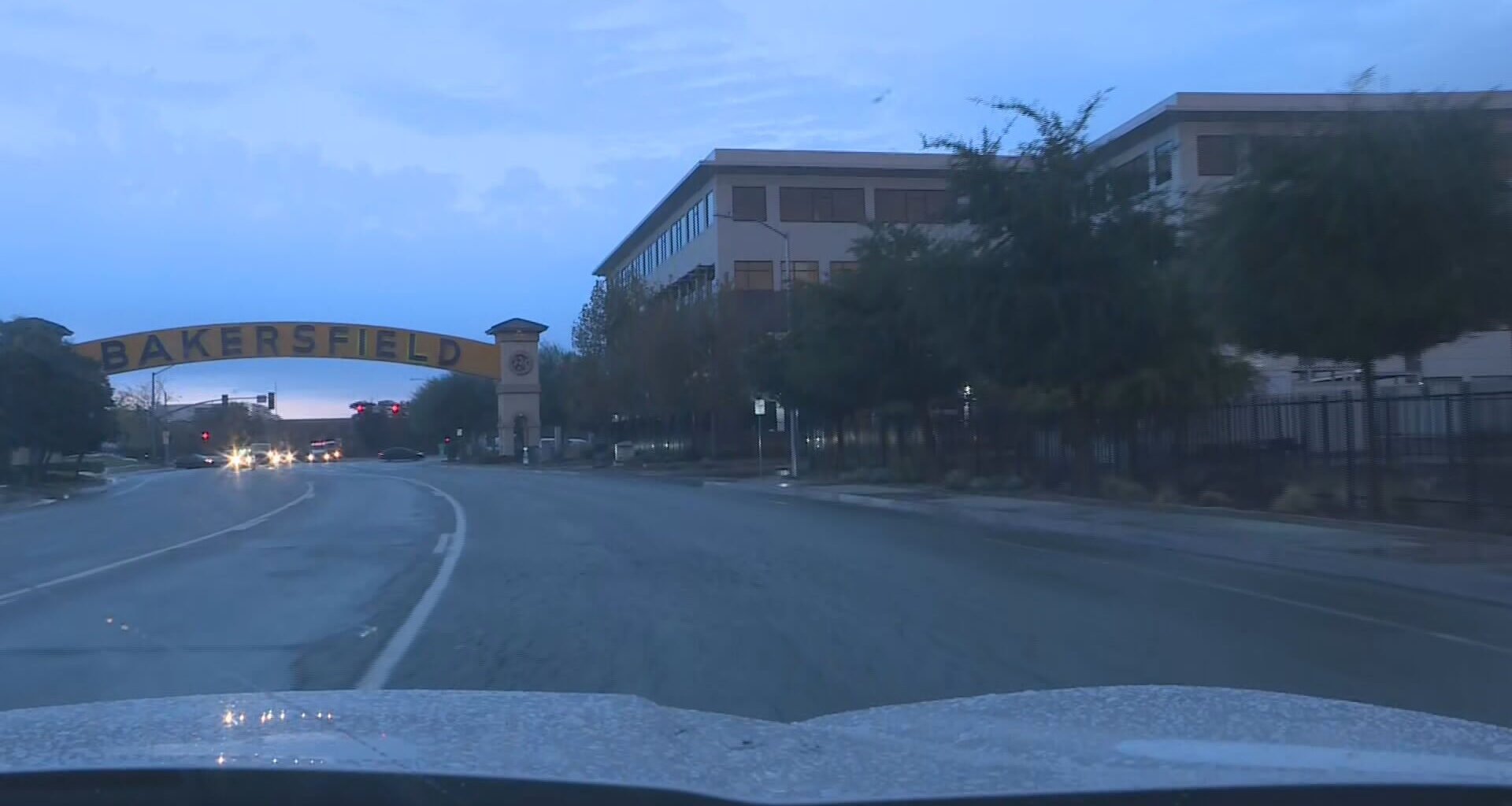
BAKERSFIELD, Calif. (KBAK/KBFX) — With 9 days left in what feels like the wettest November that most can remember Bakersfield has been propelled to the 3rd wettest November on record, with statistics kept since 1889. As of Friday afternoon, Meadows Field has picked up 2.48 inches of rainfall since Thursday the 13th. Only 2 years came out even higher: 1905 with 2.50 inches and 1960 with 3.04 inches.
Storm #3 delivered 0.55 inches at the airport, adding a respectable amount to an already impressive monthly total between Thursday and Friday.
This system’s influence isn’t quite done just yet. In keeping with the pattern of its predecessors, our latest low will be quite slow to go.
Saturday, the upper level circulation is forecast to cross northern Baja. This will keep a moist east to northeast flow into Kern County. Plenty of clouds and possible showers could sneak into parts of our area. The desert/Kern River Valley and mountain areas have the highest potential at an additional sprinkle to shower before all is said and done.
Across the South Valley our focus will turn to dense fog formation. Tule Fog season is now and with all the recent rains the atmosphere could be primed to fog up during the late night and morning time. Sometimes, the fog hangs tough either on the ground or as low cloud cover throughout the day and that can really keep the temperature down as long as that goes on.
With higher pressure building in following the latest low moving out fog potential could start increasing in the days ahead.
Comment with Bubbles
BE THE FIRST TO COMMENT
Have a great weekend!

