
A coastal fog softens the dramatic plunge where the American continent meets the Pacific. Nearly 350 miles north of San Francisco, just south of Crescent City and beyond the mouth of the Klamath River — one of California’s wildest waterways — the redwoods crowd to the edge of the sea. Here, on a lonely bluff within Redwood National and State Parks, the forest thins to reveal what looks like a weather-beaten barn and farmhouse tucked into the hillside.
Yet the humble farmstead below is no ordinary ruin. Built in 1942, these unassuming structures once hid a secret U.S. Army radar outpost — Station B-71 — as part of a covert coastal defense network created in the panicked months after Pearl Harbor to help defend the continental United States against possible Japanese air and naval assaults during World War II.
When Japan attacked Pearl Harbor on Dec. 7, 1941, a war many Americans had viewed as distant suddenly struck home. Fear spread up and down the West Coast. Within two weeks, Japanese submarines began prowling California waters, testing defenses and stoking panic. On Dec. 20, the oil tanker SS Emidio was shelled off Crescent City, killing five crewmen and leaving the vessel to drift, battered, toward shore. That same week, another submarine fired on an oil tanker near Santa Barbara’s Point Arguello and missed; a second torpedoed a ship off Cambria, spilling millions of gallons of crude oil into the Pacific.
Article continues below this ad
A 1970s photograph of Station B-71, taken before the site was added to the National Register of Historic Places. Mudslides had begun to press against the buildings, showing the toll of time and weather.
National Register of Historic Places
A 2005 photograph shows the rooftops of Station B-71’s power and operations buildings overlooking the Pacific in Redwood National Park. The dormer windows were added to disguise the site as a farmhouse.
Jet Lowe/Library of Congress
Among those who have studied this era is Justin Ruhge, a 91-year-old amateur historian who has spent decades documenting California’s forgotten military past. He told SFGATE on a phone call that the massive mobilization of coastal defenses was born from one overwhelming sentiment — fear.
“We were very scared,” he said. “It had a big effect on everybody. We didn’t know what was going to happen.”
Article continues below this ad
Air patrols, coastal artillery and lookout stations were quickly established from San Diego to the Oregon border. Japanese commanders, seeing the coastal buildup, reportedly abandoned plans to shell U.S. cities that Christmas. But the fear didn’t fade. In 1942, a Japanese submarine fired on Fort Stevens near the Oregon border, and months later, a seaplane dropped incendiary bombs over the state’s forests, hoping to start wildfires.
That same climate of panic led to darker decisions at home: the forced incarceration of more than 120,000 people of Japanese ancestry, most of them U.S. citizens. Ruhge said the mood was one of pure fear. “Everyone was scared,” he said.
What looks like a rural barn once hid a U.S. Army radar outpost guarding California’s coast. The structure remains intact today, in September 2025.
Matt LaFever/SFGATE
The farmhouse structure at Station B-71, once used to conceal power equipment for the World War II radar station south of Crescent City, in September 2025.
Matt LaFever/SFGATE
As the Pacific war crept ever closer to American shores, the U.S. military turned to technology to watch the skies. By late 1942, a chain of early warning radar stations began to rise along the coast, disguised as barns, farmhouses and rural homesteads. One of them still stands on a bluff south of the Klamath River: Station B-71.
Article continues below this ad
A National Register of Historic Places nomination form from the late 1970s offers one of the clearest surviving records of Station B-71. It lays out in precise military detail the site’s origin, purpose and peculiar disguise. Station B-71 was the northernmost California post in a network of coastal radar sites meant to guard against enemy attack. Officially designated “Trinidad,” the outpost was perched on a bluff just south of the Klamath River, its placement chosen for both elevation and isolation.
The barn entrance of Station B-71, built with a peaked roof and false detailing to complete its camouflage as a working farm, in September 2025.
Matt LaFever/SFGATE Wayne Hsieh via Flickr CC 2.0
From the sea, it looked perfectly ordinary — a weathered farmstead with a house and barn tucked into the hillside. The “farmhouse” was built of concrete block but faced with false wooden siding and fake windows, its roof topped with sham dormers to complete the illusion. The “barn” concealed the operating center, with a fake barn door and even a decoy pulley hoist that would be used for lifting hay in a real barn. Even the privy out back was part of the ruse.
Article continues below this ad
Inside, soldiers worked around the clock monitoring aircraft movements and relaying information by direct line to the Army’s filter office in Berkeley. The station operated under strict security, guarded by military police armed with rifles and, according to one corporal who served there, “vicious dogs.” Three .50-caliber machine guns were mounted nearby, and the 35-man crew lived in barracks down the road in Klamath, rotating through shifts that never stopped.
Station B-71 operated in near-total isolation. Crews rotated through day and night shifts, monitoring radar scopes and maintaining equipment while the Pacific winds battered the bluffs outside.
Visitors approach the barn at Station B-71, a World War II radar station disguised as a working farm, in Redwood National and State Parks in September 2025.
Matt LaFever/SFGATE
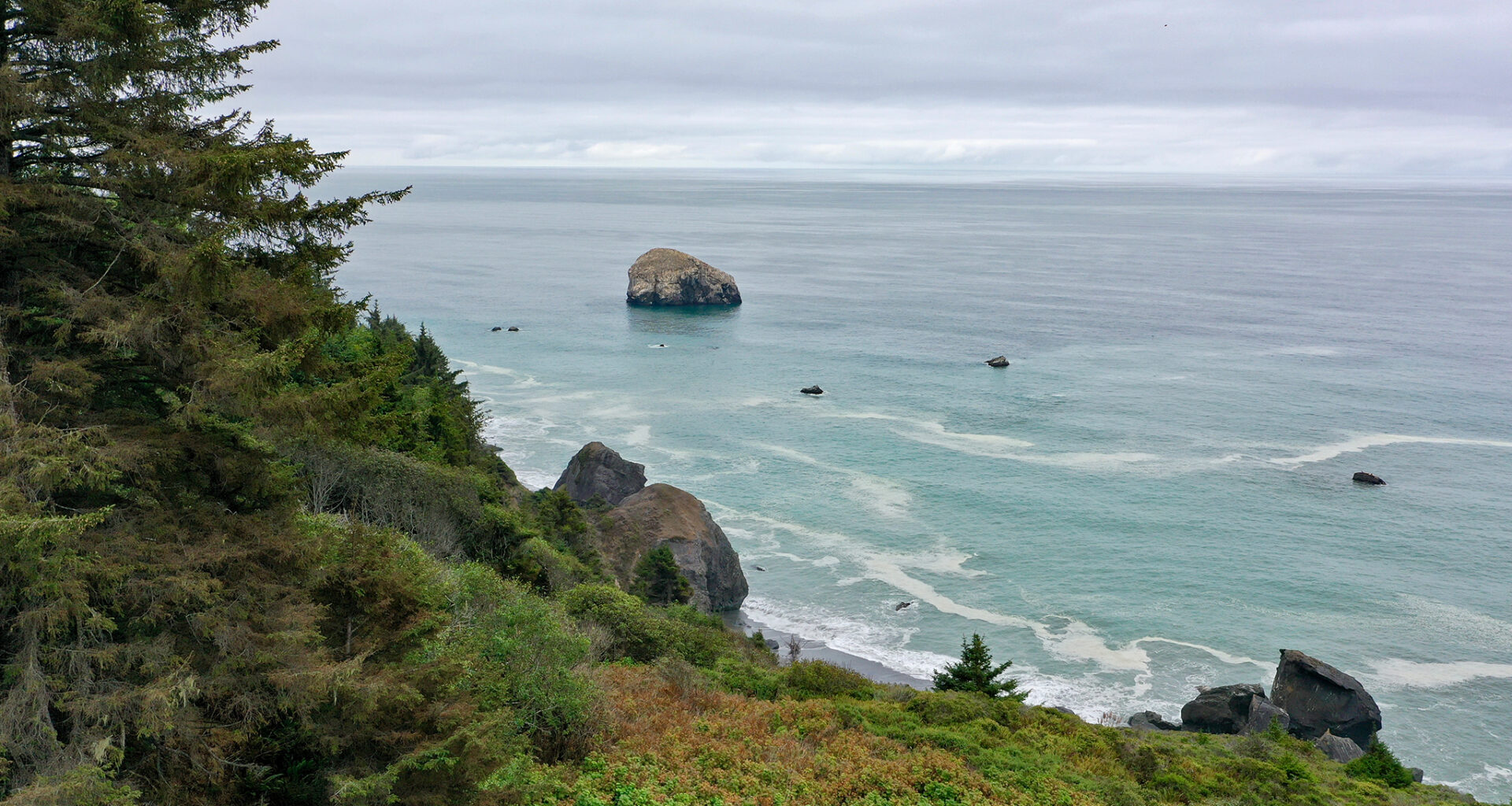
The rugged coastline south of Crescent City, where a disguised World War II radar station once watched the Pacific, in September 2025.
Matt LaFever/SFGATE
By mid-1944, the danger of a Japanese invasion had faded, and the need for constant coastal surveillance diminished. Station B-71 was reassigned that summer to rescue duty, and its equipment was adapted to help locate downed pilots and distress signals offshore.
Article continues below this ad
When the war ended, the little “farm” overlooking the Klamath Bluffs was abandoned. The Army left. The land reverted to ranchers. Over the years, locals stripped away parts of its wooden camouflage siding for lumber. Sheep wandered in and out of the concrete buildings. Mudslides from the steep slope above eventually filled parts of the interior.
Decades later, after the creation of Redwood National Park, the National Park Service took over the site. The structures were battered and half-buried, but enough of the disguise survived — the false siding, the wooden framing, the fake windows layered over cinderblock walls — to preserve its story.
Today, the site is little more than a pullout on a narrow road deep within Redwood National and State Parks — a relic tucked among the trees, marked by a modest sign. Those who find it are usually alone, with only the wind in the redwoods and the surf below.
Article continues below this ad