
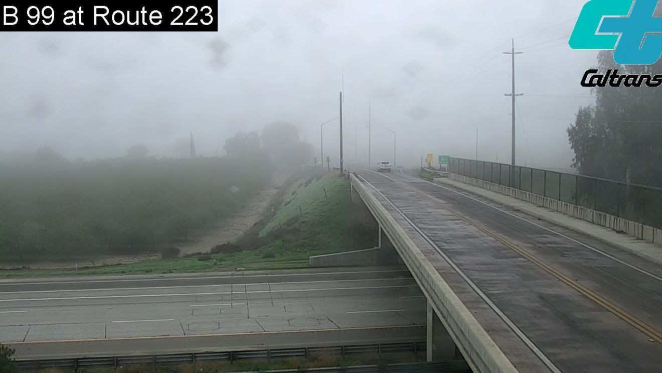
BAKERSFIELD, Calif. (KBAK/KBFX) — This week has been dominated by the San Joaquin Valley “Tule Fog” phenomenon. While it technically wasn’t always “foggy,” the cloud layer hung on across the South Valley. Some days it was gray all day. Other days featured some afternoon clearing. Daytime temperatures came in on the cool side and some afternoons even saw 40s in Bakersfield.
David Rivas has a mountaintop lookout perched up on Bear Mountain at 5,175 feet. As one of our local weather observers, his location and observations are instrumental at painting a more complete weather picture around this part of Kern County.
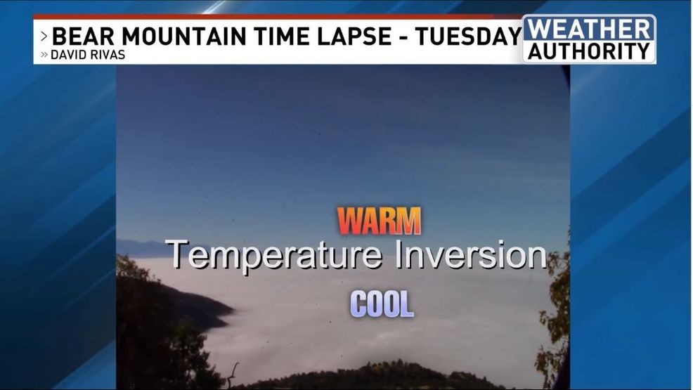
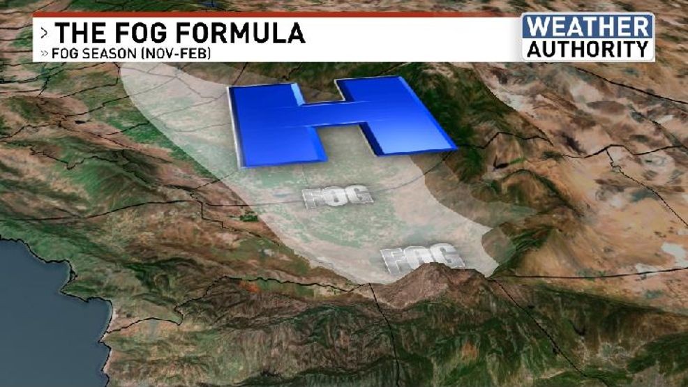
All of the rain-soaked soil has been a potent source of ground-level moisture. High pressure building in the overhead has led to a warmup taking place in the mid and upper atmosphere. Cool air is dense, heavy, and heads to the lowlands. This setup is known as a “temperature inversion” and is the meteorological explanation behind why the cool and cloudy weather has been returning to the South Valley day after day.
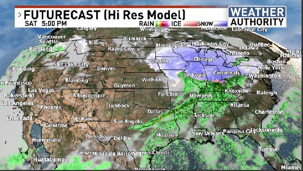
Meanwhile, winter weather may significantly hamper holiday travelers across the nation as a major storm spreads significant snow from the northern Plains to the Upper Midwest.
 Comment with Bubbles
BE THE FIRST TO COMMENT
While our local weather will be quiet, aside from the low cloud/fog situation, there could be a ripple effect at local airports nationwide due to the storm many states away. Have a great weekend!