
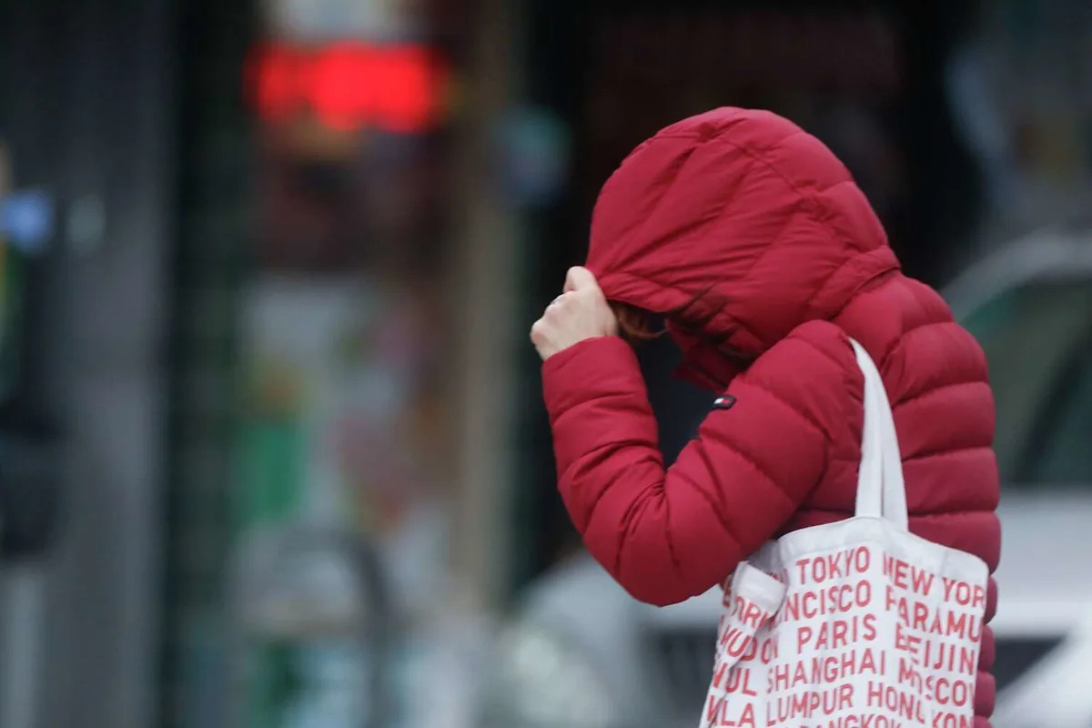
A stubborn layer of fog and trapped cold air delivered San Francisco’s chilliest fall day in six years on Friday, a sharp change for a city better known for its mild November afternoons.
The official high reached just 52 degrees, according to National Weather Service climate data, marking the city’s coldest temperature during meteorological fall since November 2019.
A strong temperature inversion settled over the region, locking fog in place and preventing any meaningful warm-up through the day.
That same inversion told a very different story in the mountains. While the coast stayed chilly, South Lake Tahoe warmed to 59 degrees on Thanksgiving, its warmest day this late in the year since 2017, when it reached 61 degrees on Dec. 29. Friday stayed remarkably mild there too, topping out at 57 degrees.
The cold snap reached beyond the Bay Area. Sacramento logged its coldest November day in more than 30 years.
Forecasters say the cool spell is part of a stagnant weather pattern that has kept much of Northern California under calm, fog-friendly conditions.
Elsewhere around the region, highs remained in the upper 50s and low 60s, highlighting just how sharply San Francisco diverged under the inversion.
Looking ahead, the weather service forecasts quiet, uneventful weather through next week, with “mild and quiet, beautiful weather through the weekend,” though interior valleys in the East Bay and North Bay may continue to battle persistent tule fog.
As for rain, the outlook remains uncertain. The next potential system may not arrive until just beyond the seven-day forecast window – and even then, forecasters say there is “high uncertainty if we’ll actually get any.”
This article originally published at San Francisco just had its coldest fall day in six years – here’s why it felt so chilly.